THE ADVENTURE COLLECTIVE® · Independent discovery and booking for outdoor travel

Climb to the 2,600 m summit of Adrar Talamrout on a full-day hike from Marrakesh through Berber villages, cedar forests and open ridgelines. Expect 800–900 m of ascent, panoramic views of Toubkal, and a culturally rich route with a village lunch.
Climb to the 2,600 m summit of Adrar Talamrout on a full-day hike from Marrakesh through Berber villages, cedar forests and open ridgelines. Expect 800–900 m of ascent, panoramic views of Toubkal, and a culturally rich route with a village lunch.
A cool dawn pulls the city lights out of Marrakesh as the van threads a 64-kilometer ribbon into the High Atlas. By midmorning you stand in Imlil at 1,740 m, boots on a rocky track, as the valley exhales cedar-scented air and the trail climbs toward Tizi n'Tamatert. The slope tightens, switchbacks push you through Berber villages, and the peaks press close—nature seems to dare you upward.
Verified experiences and guided adventures in the surrounding area.
Operated by Toubkal Hiking · Imlil, Marrakesh-Safi
A cool dawn pulls the city lights out of Marrakesh as the van threads a 64-kilometer ribbon into the High Atlas. By midmorning you stand in Imlil at 1,740 m, boots on a rocky track, as the valley exhales cedar-scented air and the trail climbs toward Tizi n'Tamatert. The slope tightens, switchbacks push you through Berber villages, and the peaks press close—nature seems to dare you upward.
This route follows ancient paths used by Amazigh (Berber) shepherds; stone terraces and mule tracks reveal centuries of human adaptation to steep terrain. Geologically the High Atlas is folded and uplifted Mesozoic rock—sharp ridgelines and fast-draining scree give way to pockets of pine and Atlas cedar. Cultural notes are immediate: village houses built of local stone, and the steady hospitality of tea and shared bread.
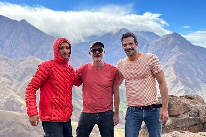
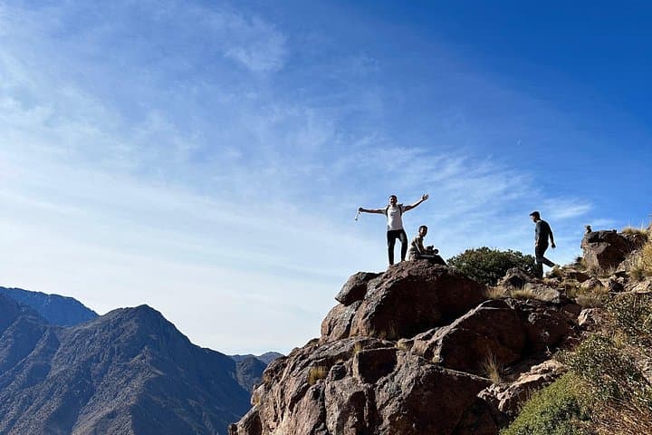
From the pass at roughly 2,300 m the trail enters pine and cedar forest, then a steeper ridge that delivers the summit of Adrar Talamrout at about 2,600 m. Views take in the Imlil and Imnane valleys, and on clear days Mount Toubkal dominates the skyline.
Practical guidance: expect 6–9 hours of hiking depending on pace, with 800–900 m of elevation gain. Wear sturdy boots with ankle support, carry 2–3 liters of water, and layer for sun and wind—weather can change quickly. Trails are marked locally but hire a guide if uncertain; altitude and sustained climbs reward measured pacing. Lunch is typically served on-route; pack sun protection and respect village customs when stopping in settlements.
challenging.
6–9 hours (hike only); full day including transfer.
Good cardiovascular fitness and experience with sustained uphill hiking at altitude; able to handle uneven terrain for several hours
The route involves 800–900 m of elevation gain over steep, rocky terrain—fit hikers with prior mountain experience will find it challenging but achievable with regular breaks.
At 2,600 m risk is moderate; stay hydrated, ascend at a steady pace, and alert your guide if you feel nausea, headache, or dizziness.
A local guide is included on organized tours and recommended for route-finding, cultural context, and safety on sections that can be indistinct.
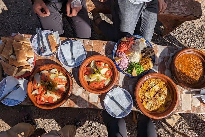
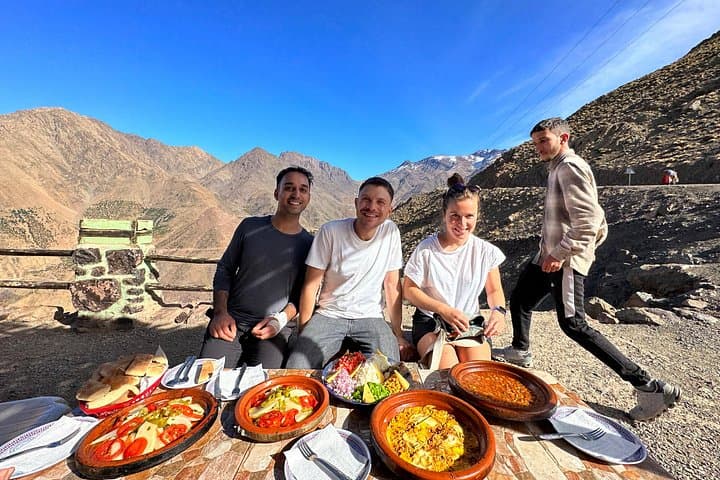
Tours typically include a cooked lunch and mint tea; bring additional water and high-energy snacks for the ascent.
The trails connect Amazigh villages that historically managed transhumant herds; stone terraces and mule tracks show centuries of mountain agriculture and trade.
Stick to established trails to limit erosion and carry out all trash; local communities depend on sustainable grazing and tourism income, so respect grazing areas and water sources.
Toubkal Hiking operates guided outdoor trips and adventures with an emphasis on safety, stewardship, and memorable experiences.
A cool dawn pulls the city lights out of Marrakesh as the van threads a 64-kilometer ribbon into the High Atlas. By midmorning you stand in Imlil at 1,740 m, boots on a rocky track, as the valley exhales cedar-scented air and the trail climbs toward Tizi n'Tamatert. The slope tightens, switchbacks push you through Berber villages, and the peaks press close—nature seems to dare you upward.
A cool dawn pulls the city lights out of Marrakesh as the van threads a 64-kilometer ribbon into the High Atlas. By midmorning you stand in Imlil at 1,740 m, boots on a rocky track, as the valley exhales cedar-scented air and the trail climbs toward Tizi n'Tamatert. The slope tightens, switchbacks push you through Berber villages, and the peaks press close—nature seems to dare you upward.
This route follows ancient paths used by Amazigh (Berber) shepherds; stone terraces and mule tracks reveal centuries of human adaptation to steep terrain. Geologically the High Atlas is folded and uplifted Mesozoic rock—sharp ridgelines and fast-draining scree give way to pockets of pine and Atlas cedar. Cultural notes are immediate: village houses built of local stone, and the steady hospitality of tea and shared bread.
From the pass at roughly 2,300 m the trail enters pine and cedar forest, then a steeper ridge that delivers the summit of Adrar Talamrout at about 2,600 m. Views take in the Imlil and Imnane valleys, and on clear days Mount Toubkal dominates the skyline.
Practical guidance: expect 6–9 hours of hiking depending on pace, with 800–900 m of elevation gain. Wear sturdy boots with ankle support, carry 2–3 liters of water, and layer for sun and wind—weather can change quickly. Trails are marked locally but hire a guide if uncertain; altitude and sustained climbs reward measured pacing. Lunch is typically served on-route; pack sun protection and respect village customs when stopping in settlements.