THE ADVENTURE COLLECTIVE® · Independent discovery and booking for outdoor travel

Follow a self-guided audio route from Portheras to Tregeseal East and walk through over 4,500 years of Cornish prehistory. This short, rugged route combines round barrows, hole-marked stones and panoramic coastal views with offline audio and maps.
Follow a self-guided audio route from Portheras to Tregeseal East and walk through over 4,500 years of Cornish prehistory. This short, rugged route combines round barrows, hole-marked stones and panoramic coastal views with offline audio and maps.
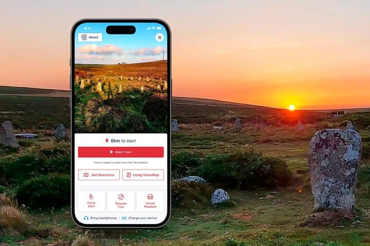
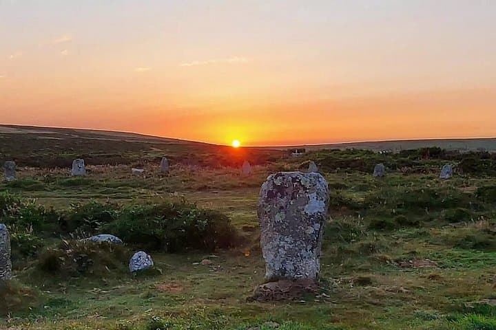
You set off from Portheras with wind shaping the grass and the Atlantic glinting past the skyline — the audio app wakes and, like a local guide at your shoulder, begins to place stones and burial mounds into human scale.
Verified experiences and guided adventures in the surrounding area.
Operated by VoiceMap Audio Tours · St Just, Cornwall
You set off from Portheras with wind shaping the grass and the Atlantic glinting past the skyline — the audio app wakes and, like a local guide at your shoulder, begins to place stones and burial mounds into human scale.
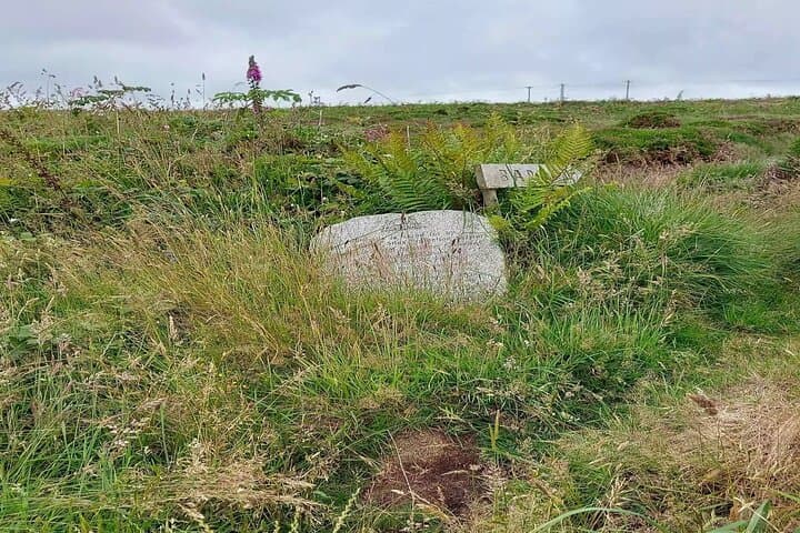
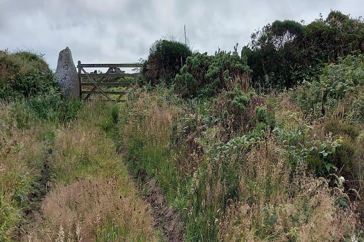
The walk threads field edges, short stretches of moor and rough footpaths, moving from a round barrow where Bronze Age cremations were laid to the hole-marked granite of Tregeseal East. Carn Kenidjack looms like a weathered guardian; from its slopes coastal views open west toward Cape Cornwall.
Geology here is blunt: coarse granite outcrops and stony soil that forced early settlers to adapt, leaving behind stone circles and rows instead of timber monuments. Culturally, these sites read as a working landscape — ritual places woven through farming lanes and pastures that continued in use into medieval times.
Practical guidance: expect 40–60 minutes of walking over around 2–3 miles (3–5 km) with roughly 100–150 m of elevation gain on uneven, often boggy ground after rain. The tour runs on VoiceMap with offline maps and lifetime access, so download before you go. Start mid-morning for light and safer footing, and give yourself extra time for photos or detours toward Carn Kenidjack.
Respect fences and grazing stock, carry a waterproof layer and solid footwear, and keep headphones volume such that you can hear other users and the environment.
This is an intimate, low-impact way to walk Cornwall’s deep past: archaeological fragments and granite stones doing the talking, while the coast keeps watch.
easy.
40–60 minutes.
Suitable for all fitness levels but expect uneven ground and short climbs; basic stamina for walking 3–5 km recommended.
The audio-guided route takes about 40–60 minutes and covers roughly 2–3 miles (3–5 km), depending on detours to viewpoints.
No; the audio guide uses GPS-triggered narration and offline maps to guide you between sites rather than physical waymarks.
Yes—dogs are usually allowed but should be kept on a short lead around livestock and during visits to archaeological features.
No—download the VoiceMap audio and map for offline use before you leave to avoid relying on mobile coverage.
The landscape preserves Bronze Age round barrows and stone circles; these monuments mark long-term ritual and burial use going back over 4,500 years.
This is active farmland with sensitive archaeology—stay on paths, avoid climbing on fragile stones and follow local signage to limit erosion and disturbance.
VoiceMap Audio Tours operates guided outdoor trips and adventures with an emphasis on safety, stewardship, and memorable experiences.
You set off from Portheras with wind shaping the grass and the Atlantic glinting past the skyline — the audio app wakes and, like a local guide at your shoulder, begins to place stones and burial mounds into human scale.
You set off from Portheras with wind shaping the grass and the Atlantic glinting past the skyline — the audio app wakes and, like a local guide at your shoulder, begins to place stones and burial mounds into human scale.
The walk threads field edges, short stretches of moor and rough footpaths, moving from a round barrow where Bronze Age cremations were laid to the hole-marked granite of Tregeseal East. Carn Kenidjack looms like a weathered guardian; from its slopes coastal views open west toward Cape Cornwall.
Geology here is blunt: coarse granite outcrops and stony soil that forced early settlers to adapt, leaving behind stone circles and rows instead of timber monuments. Culturally, these sites read as a working landscape — ritual places woven through farming lanes and pastures that continued in use into medieval times.
Practical guidance: expect 40–60 minutes of walking over around 2–3 miles (3–5 km) with roughly 100–150 m of elevation gain on uneven, often boggy ground after rain. The tour runs on VoiceMap with offline maps and lifetime access, so download before you go. Start mid-morning for light and safer footing, and give yourself extra time for photos or detours toward Carn Kenidjack.
Respect fences and grazing stock, carry a waterproof layer and solid footwear, and keep headphones volume such that you can hear other users and the environment.
This is an intimate, low-impact way to walk Cornwall’s deep past: archaeological fragments and granite stones doing the talking, while the coast keeps watch.