THE ADVENTURE COLLECTIVE® · Independent discovery and booking for outdoor travel

Explore Stanley Park at your pace with a smartphone-guided route that combines history, nature, and practical directions. Ideal for visitors and locals, the tour covers seawall highlights, totem poles, prospect points, and quieter interior trails.
Explore Stanley Park at your pace with a smartphone-guided route that combines history, nature, and practical directions. Ideal for visitors and locals, the tour covers seawall highlights, totem poles, prospect points, and quieter interior trails.
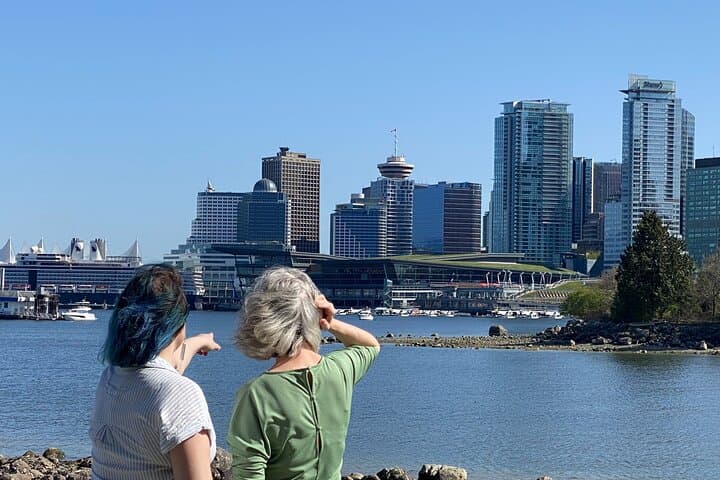
Morning light hits the seawall and the city exhales; you step into a living map where cedars and totem poles keep watch and the ocean edges dare you to look closer.
Verified experiences and guided adventures in the surrounding area.
Operated by VanWalks · Vancouver, British Columbia
Morning light hits the seawall and the city exhales; you step into a living map where cedars and totem poles keep watch and the ocean edges dare you to look closer.
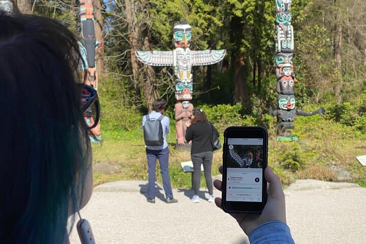
This self-guided smartphone tour lays Stanley Park out in manageable chapters — Deadman's Island and its layered past, the Indigenous carvers who made the totem poles, the old military sites at Third Beach, and the engineered shift that made Lost Lagoon freshwater. Geology here is subtle: glacial gravels smoothed into headlands, cliffs shaped by the Burrard Inlet's push and pull, and a shoreline where tide pools whisper about marine life.
Culturally, the park is a meeting place — from Coast Salish history to century-old rose gardens and the nightly cadence of the Nine O'Clock Gun. Local color shows in drum circles, weekend runners, and the concession stand queues at Prospect Point.
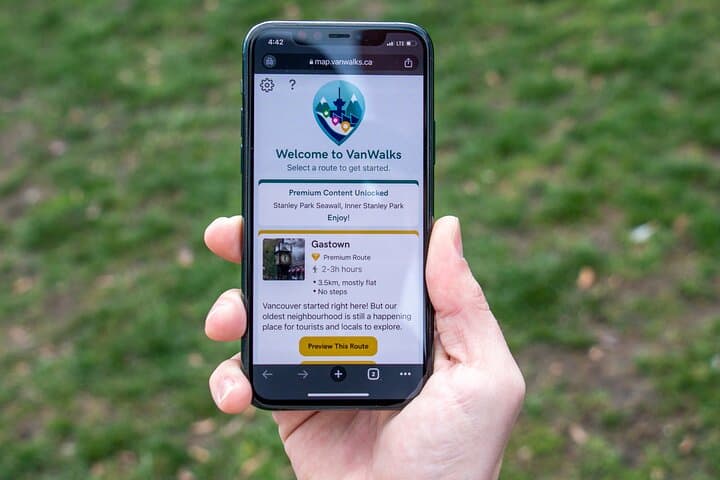
Practical guide: the route is designed for a 4–5 hour exploration; follow waypoint prompts in the web app, use offline mode where cellular service drops, and plan stops for the aquarium or a quick climb to the park’s high points.
Expect mixed surfaces: paved seawall, compacted forest paths, and short stair climbs. Keep a charged phone and a small power bank, wear supportive shoes, and carry water — even Vancouver’s mild days can demand layers. Respect signs, leave no trace, and give wildlife space: raccoons and eagles are part of the cast here.
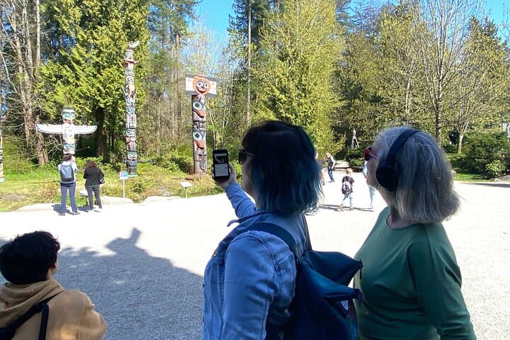
Self-guided means move at your own rhythm — pause for a totem pole story, detour to Beaver Lake, and let the park’s voices guide you.
moderate.
4–5 hours.
Moderate fitness: able to walk several hours with some short climbs and stairs; good for regular walkers.
The web app works in a browser; downloading offline content is recommended where prompted to avoid gaps in audio or map data.
Many seawall sections and some park areas are wheelchair and stroller accessible, but interior forest trails have stairs and uneven surfaces — check route notes before detouring.
Yes — the Aquarium is a popular stop but admission is separate; allow extra time if you plan to visit and check current hours online.
Routes and text are available in English and French; audio is currently English only.
Stanley Park occupies traditional Coast Salish territory and evolved through logging, military use, and early 20th-century park design; its totem poles reflect both Indigenous art and later civic exhibitions.
The park is managed to balance heavy urban use with habitat protection — follow Leave No Trace, avoid feeding wildlife, and stick to marked trails to minimize impact.
VanWalks operates guided outdoor trips and adventures with an emphasis on safety, stewardship, and memorable experiences.
Morning light hits the seawall and the city exhales; you step into a living map where cedars and totem poles keep watch and the ocean edges dare you to look closer.
Morning light hits the seawall and the city exhales; you step into a living map where cedars and totem poles keep watch and the ocean edges dare you to look closer.
This self-guided smartphone tour lays Stanley Park out in manageable chapters — Deadman's Island and its layered past, the Indigenous carvers who made the totem poles, the old military sites at Third Beach, and the engineered shift that made Lost Lagoon freshwater. Geology here is subtle: glacial gravels smoothed into headlands, cliffs shaped by the Burrard Inlet's push and pull, and a shoreline where tide pools whisper about marine life.
Culturally, the park is a meeting place — from Coast Salish history to century-old rose gardens and the nightly cadence of the Nine O'Clock Gun. Local color shows in drum circles, weekend runners, and the concession stand queues at Prospect Point.
Practical guide: the route is designed for a 4–5 hour exploration; follow waypoint prompts in the web app, use offline mode where cellular service drops, and plan stops for the aquarium or a quick climb to the park’s high points.
Expect mixed surfaces: paved seawall, compacted forest paths, and short stair climbs. Keep a charged phone and a small power bank, wear supportive shoes, and carry water — even Vancouver’s mild days can demand layers. Respect signs, leave no trace, and give wildlife space: raccoons and eagles are part of the cast here.
Self-guided means move at your own rhythm — pause for a totem pole story, detour to Beaver Lake, and let the park’s voices guide you.