THE ADVENTURE COLLECTIVE® · Independent discovery and booking for outdoor travel

Trek through cloud forest to the rim of St Kitts’ highest volcano for sweeping coastal panoramas and a close-up of a 1,000-foot-deep crater. This guided day hike pairs geology, colonial history and physical challenge in a compact island tour.
Trek through cloud forest to the rim of St Kitts’ highest volcano for sweeping coastal panoramas and a close-up of a 1,000-foot-deep crater. This guided day hike pairs geology, colonial history and physical challenge in a compact island tour.
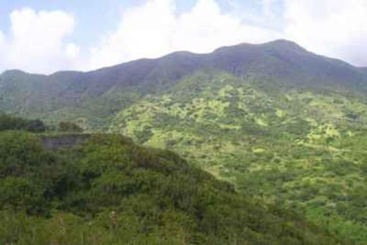
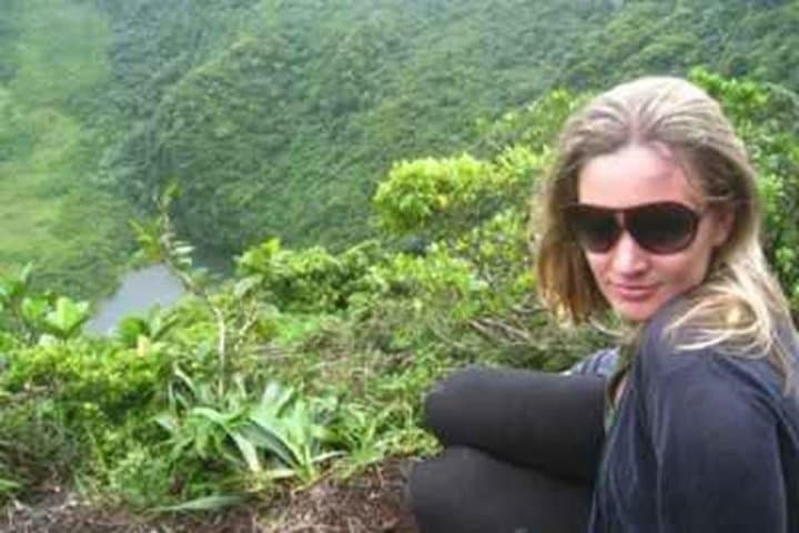
Fog thins as the minivan winds out of Basseterre and the island’s green spine rises ahead; palms give way to broadleaf rainforest and the road ends at a small, shaded trailhead near Belmont Estate. The trail climbs from about 1,200 feet through a dwarfed cloud forest, the trees seeming to lean in as if to whisper the route onward. On clear days the summit opens to a wide crater rim that throws your eyes across the island’s jagged coastline — turquoise sea on one side and the deep, bowl-shaped volcano crater on the other.
Verified experiences and guided adventures in the surrounding area.
Operated by St Kitts Nevis Captain Sunshine Tours & Excursions · Basseterre, Saint Kitts
Fog thins as the minivan winds out of Basseterre and the island’s green spine rises ahead; palms give way to broadleaf rainforest and the road ends at a small, shaded trailhead near Belmont Estate. The trail climbs from about 1,200 feet through a dwarfed cloud forest, the trees seeming to lean in as if to whisper the route onward. On clear days the summit opens to a wide crater rim that throws your eyes across the island’s jagged coastline — turquoise sea on one side and the deep, bowl-shaped volcano crater on the other.
This peak, the island’s high point at roughly 3,792 feet, is volcanic in origin: a stratovolcano whose rim and crater were formed by eruptions millennia ago. The route passes Middle Island and views of Brimstone Hill Fortress, linking colonial-era sugar and military history to the geology underfoot. Local culture is visible in colorful town centers and plantation-era estates; guides often point out how former sugar paths became today’s hiking tracks.
Expect a gradual approach that becomes steep and rocky in the final quarter — roots and boulders force short, careful steps. The ascent typically takes about 2–2.5 hours of hiking; the full excursion, with transport and stops, is roughly 4–6 hours.
Practical notes: bring 2–3 liters of water, sturdy hiking shoes, sunscreen and a lightweight rain shell. The route suits fit hikers aged 12 and up; it’s not recommended for those with serious spinal or cardiovascular conditions. Start early to avoid heat and afternoon rain, and plan for limited facilities on the trail.
challenging.
4–6 hours.
Requires a high level of cardiovascular fitness and steadiness on uneven, steep terrain; hikers should be comfortable with sustained uphill walking.
The uphill portion takes about 2–2.5 hours depending on pace; the full guided excursion including transport and stops runs roughly 4–6 hours.
Minimum age listed is 12; physically fit teenagers who can manage steep, uneven terrain can usually join with supervision.
No technical climbing skills are required, but participants should have good fitness and experience with sustained uphill hiking.
There are limited facilities on the trail; use restrooms before departure and bring all necessary water and snacks.
The trail crosses lands shaped by colonial sugar plantations; nearby Brimstone Hill Fortress reflects the island’s strategic role during European conflicts.
The central forest reserve protects the cloud forest and watershed; stick to trails to limit erosion and avoid disturbing fragile endemic flora.
St Kitts Nevis Captain Sunshine Tours & Excursions operates guided outdoor trips and adventures with an emphasis on safety, stewardship, and memorable experiences.
Fog thins as the minivan winds out of Basseterre and the island’s green spine rises ahead; palms give way to broadleaf rainforest and the road ends at a small, shaded trailhead near Belmont Estate. The trail climbs from about 1,200 feet through a dwarfed cloud forest, the trees seeming to lean in as if to whisper the route onward. On clear days the summit opens to a wide crater rim that throws your eyes across the island’s jagged coastline — turquoise sea on one side and the deep, bowl-shaped volcano crater on the other.
Fog thins as the minivan winds out of Basseterre and the island’s green spine rises ahead; palms give way to broadleaf rainforest and the road ends at a small, shaded trailhead near Belmont Estate. The trail climbs from about 1,200 feet through a dwarfed cloud forest, the trees seeming to lean in as if to whisper the route onward. On clear days the summit opens to a wide crater rim that throws your eyes across the island’s jagged coastline — turquoise sea on one side and the deep, bowl-shaped volcano crater on the other.
This peak, the island’s high point at roughly 3,792 feet, is volcanic in origin: a stratovolcano whose rim and crater were formed by eruptions millennia ago. The route passes Middle Island and views of Brimstone Hill Fortress, linking colonial-era sugar and military history to the geology underfoot. Local culture is visible in colorful town centers and plantation-era estates; guides often point out how former sugar paths became today’s hiking tracks.
Expect a gradual approach that becomes steep and rocky in the final quarter — roots and boulders force short, careful steps. The ascent typically takes about 2–2.5 hours of hiking; the full excursion, with transport and stops, is roughly 4–6 hours.
Practical notes: bring 2–3 liters of water, sturdy hiking shoes, sunscreen and a lightweight rain shell. The route suits fit hikers aged 12 and up; it’s not recommended for those with serious spinal or cardiovascular conditions. Start early to avoid heat and afternoon rain, and plan for limited facilities on the trail.