THE ADVENTURE COLLECTIVE® · Independent discovery and booking for outdoor travel

Explore Huntsville as a living clue board in this GPS-driven walking game that traces Tom Thomson’s life, art and the mystery of his death. Start at Avery Beach Park and let a smartphone app lead you through lakeside scenes, archival images and puzzle-driven storytelling.
Explore Huntsville as a living clue board in this GPS-driven walking game that traces Tom Thomson’s life, art and the mystery of his death. Start at Avery Beach Park and let a smartphone app lead you through lakeside scenes, archival images and puzzle-driven storytelling.
You step onto the warm granite at Avery Beach Park, Hunters Bay lapping at the shore, and a chime from your phone marks the first clue. The app maps a short loop through downtown Huntsville and along the lakeshore; the town’s light and shadow become part of the puzzle as you follow GPS prompts and archival photos that place you in the artist’s world.
Verified experiences and guided adventures in the surrounding area.
Operated by Leplace - interactive self-guided app tours · Huntsville, Ontario
You step onto the warm granite at Avery Beach Park, Hunters Bay lapping at the shore, and a chime from your phone marks the first clue. The app maps a short loop through downtown Huntsville and along the lakeshore; the town’s light and shadow become part of the puzzle as you follow GPS prompts and archival photos that place you in the artist’s world.
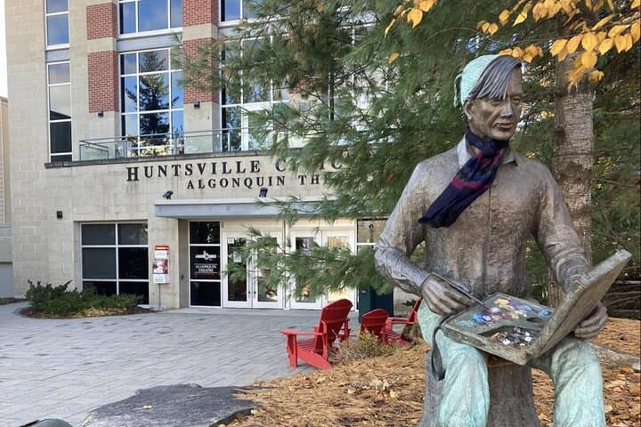
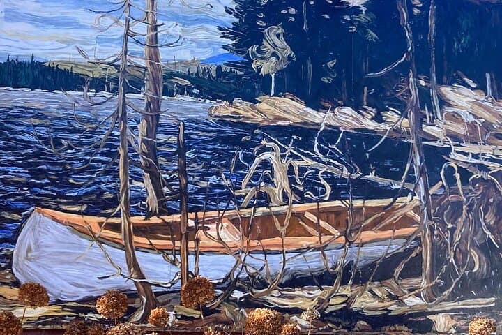
Tom Thomson’s life is stitched to Algonquin Park and the surrounding Muskoka landscape. Geologically, the route skirts the southern edge of the Canadian Shield—exposed rock, spruce pockets and small ridges that Thompson painted repeatedly. Culturally, Huntsville still trades in outdoor art and storytelling: galleries, interpretive plaques and local lore fuel the narrative, while residents debate whether Thomson’s 1917 death was accident or something darker.
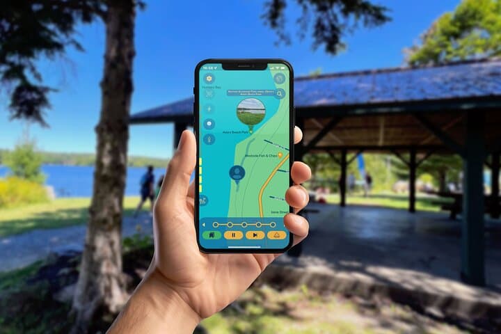
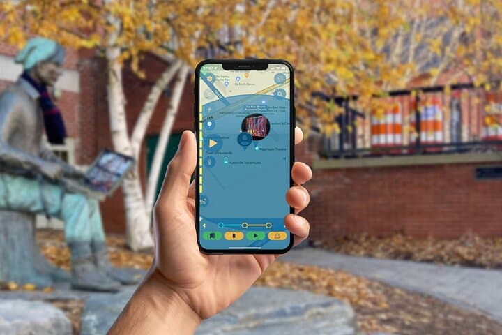
Practically, expect a self-paced 1.5–2 hour walking game that covers roughly 2–4 km on mostly paved paths and boardwalks with minimal elevation gain. The experience requires a modern smartphone, the provider’s app and a charged battery; audio clips, image comparisons and location triggers guide the story. Start at Avery Beach Park (near downtown), allow time for occasional crowds in summer, and bring a weather layer—lake breezes can cool quickly. The app’s GPS accuracy matters; pause when prompted to examine details and photos. This is an outdoor, low-impact cultural walk that pairs local history with the tactile feel of shoreline rock and the insistent presence of the forest beyond town.
easy.
1.5–2 hours.
Suitable for most fitness levels; requires steady walking and standing for short periods.
No—this is a self-guided, on-demand experience; you can start anytime during park hours and play at your own pace.
Tickets are per device; one device can run the game while others follow, but each additional device requires its own ticket according to the provider.
Much of the downtown and lakeshore path is paved and relatively flat, but some sections may include boardwalks or narrow passes; check local accessibility maps if mobility is a concern.
Pause at the nearest waypoint and allow the app to re-acquire your location; moving to more open sightlines along the shore or a street often restores accuracy.
Tom Thomson was closely associated with Algonquin Park and the Muskoka region; his sudden 1917 death on Canoe Lake remains a subject of debate and inspired the Group of Seven.
Huntsville and area partners emphasize low-impact recreation—stay on paths, carry out trash, and respect shoreline vegetation to reduce erosion and protect habitat.
Leplace - interactive self-guided app tours operates guided outdoor trips and adventures with an emphasis on safety, stewardship, and memorable experiences.
You step onto the warm granite at Avery Beach Park, Hunters Bay lapping at the shore, and a chime from your phone marks the first clue. The app maps a short loop through downtown Huntsville and along the lakeshore; the town’s light and shadow become part of the puzzle as you follow GPS prompts and archival photos that place you in the artist’s world.
You step onto the warm granite at Avery Beach Park, Hunters Bay lapping at the shore, and a chime from your phone marks the first clue. The app maps a short loop through downtown Huntsville and along the lakeshore; the town’s light and shadow become part of the puzzle as you follow GPS prompts and archival photos that place you in the artist’s world.
Tom Thomson’s life is stitched to Algonquin Park and the surrounding Muskoka landscape. Geologically, the route skirts the southern edge of the Canadian Shield—exposed rock, spruce pockets and small ridges that Thompson painted repeatedly. Culturally, Huntsville still trades in outdoor art and storytelling: galleries, interpretive plaques and local lore fuel the narrative, while residents debate whether Thomson’s 1917 death was accident or something darker.
Practically, expect a self-paced 1.5–2 hour walking game that covers roughly 2–4 km on mostly paved paths and boardwalks with minimal elevation gain. The experience requires a modern smartphone, the provider’s app and a charged battery; audio clips, image comparisons and location triggers guide the story. Start at Avery Beach Park (near downtown), allow time for occasional crowds in summer, and bring a weather layer—lake breezes can cool quickly. The app’s GPS accuracy matters; pause when prompted to examine details and photos. This is an outdoor, low-impact cultural walk that pairs local history with the tactile feel of shoreline rock and the insistent presence of the forest beyond town.