THE ADVENTURE COLLECTIVE® · Independent discovery and booking for outdoor travel

Lift from a windswept ridge and see the High Atlas unfold beneath you: terraced villages, red scree and wide valley views. This tandem paragliding trip from Marrakech blends a short drive and briefing with 20–40 minutes of flight for an unforgettable aerial perspective.
Lift from a windswept ridge and see the High Atlas unfold beneath you: terraced villages, red scree and wide valley views. This tandem paragliding trip from Marrakech blends a short drive and briefing with 20–40 minutes of flight for an unforgettable aerial perspective.
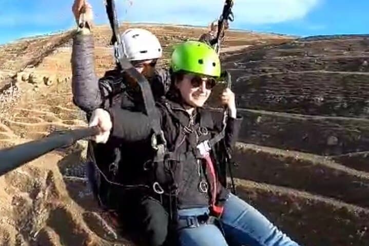
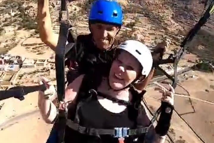
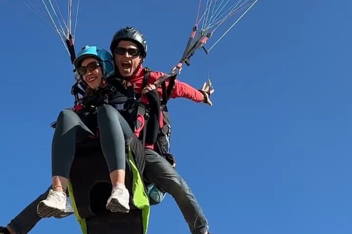
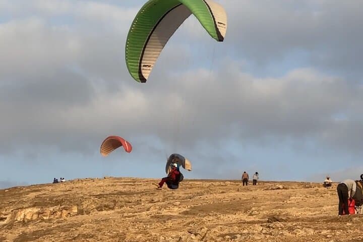
The wind catches you before the town comes into view — a brisk, dry push off a rocky ridge and suddenly Marrakech shrinks beneath a patchwork of ochre roofs and irrigated fields. Below, the High Atlas rises in folded layers: serrated ridgelines, red scree, and scattered Berber villages that cling to terraces.
Verified experiences and guided adventures in the surrounding area.
Operated by Youssef · Marrakech, Marrakech-Safi
The wind catches you before the town comes into view — a brisk, dry push off a rocky ridge and suddenly Marrakech shrinks beneath a patchwork of ochre roofs and irrigated fields. Below, the High Atlas rises in folded layers: serrated ridgelines, red scree, and scattered Berber villages that cling to terraces.
This tandem paragliding trip begins with a short drive out of the city and a safety briefing on the launch ridge. Geologically young and sharp, the High Atlas was raised by the collision of African and Eurasian plates; its slopes carry evidence of glacial valleys and fast-draining limestone. Culturally, the region is dotted with Amazigh (Berber) settlements — olive groves, mud-brick houses and tea offered in roadside hamlets are part of the local rhythm.
In flight you’ll cross thermal lifts and gullies, watching shepherds and winding mule tracks shrink to thread. The guides explain weather windows, landing procedure and local customs; cameras are encouraged but the real draw is the uninterrupted perspective on valley geometry and human scale.
Practical notes: the full outing runs about five hours including pickup, briefing and return; the airborne portion is typically 20–40 minutes depending on conditions. Moderate fitness helps for a short uphill move at launch and a stable stance at landing. Dress in layers, wear sturdy shoes for approach and accept the guide’s weight limits — safety equipment is provided and experienced tandem pilots handle all technical flying.
Expect clear views on calm mornings, variable thermals in afternoon, and a memorable way to read the mountain’s form from above.
moderate.
5 hours (flight 20–40 minutes).
Moderate: able to walk short rocky slopes and stand steadily during launch and landing.
Most tandem flights last 20–40 minutes depending on thermals and the flight plan chosen by the pilot.
Yes—operators set maximum and sometimes minimum weight limits and advise against flying for pregnant people or those with serious heart or spinal conditions.
No prior experience is required for tandem flights; the pilot handles all technical flying while passengers follow simple launch and landing instructions.
Flights are canceled in unsafe wind or low visibility; you’ll be offered an alternate date or full refund if canceled at least 24 hours in advance.
The High Atlas is home to Amazigh (Berber) communities with centuries-old terraced agriculture and transhumant routes that shaped local settlements.
The montane environment is fragile—stick to established paths, minimize plastic waste and choose local guides who support community-based tourism.
Youssef operates guided outdoor trips and adventures with an emphasis on safety, stewardship, and memorable experiences.
The wind catches you before the town comes into view — a brisk, dry push off a rocky ridge and suddenly Marrakech shrinks beneath a patchwork of ochre roofs and irrigated fields. Below, the High Atlas rises in folded layers: serrated ridgelines, red scree, and scattered Berber villages that cling to terraces.
The wind catches you before the town comes into view — a brisk, dry push off a rocky ridge and suddenly Marrakech shrinks beneath a patchwork of ochre roofs and irrigated fields. Below, the High Atlas rises in folded layers: serrated ridgelines, red scree, and scattered Berber villages that cling to terraces.
This tandem paragliding trip begins with a short drive out of the city and a safety briefing on the launch ridge. Geologically young and sharp, the High Atlas was raised by the collision of African and Eurasian plates; its slopes carry evidence of glacial valleys and fast-draining limestone. Culturally, the region is dotted with Amazigh (Berber) settlements — olive groves, mud-brick houses and tea offered in roadside hamlets are part of the local rhythm.
In flight you’ll cross thermal lifts and gullies, watching shepherds and winding mule tracks shrink to thread. The guides explain weather windows, landing procedure and local customs; cameras are encouraged but the real draw is the uninterrupted perspective on valley geometry and human scale.
Practical notes: the full outing runs about five hours including pickup, briefing and return; the airborne portion is typically 20–40 minutes depending on conditions. Moderate fitness helps for a short uphill move at launch and a stable stance at landing. Dress in layers, wear sturdy shoes for approach and accept the guide’s weight limits — safety equipment is provided and experienced tandem pilots handle all technical flying.
Expect clear views on calm mornings, variable thermals in afternoon, and a memorable way to read the mountain’s form from above.