THE ADVENTURE COLLECTIVE® · Independent discovery and booking for outdoor travel

Drive the iconic Slea Head loop on a small-group photo tour of the Dingle Peninsula. Capture cliff-top vistas, ancient stone sites and storm beaches while receiving hands-on tips for better landscape and portrait shots.
Drive the iconic Slea Head loop on a small-group photo tour of the Dingle Peninsula. Capture cliff-top vistas, ancient stone sites and storm beaches while receiving hands-on tips for better landscape and portrait shots.
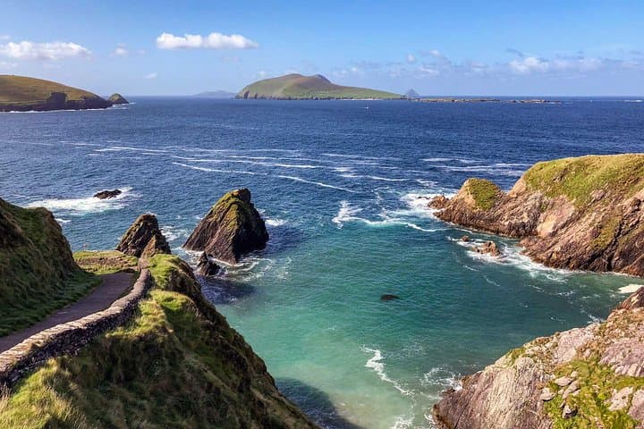
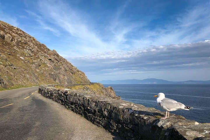
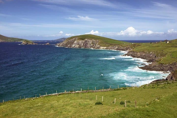
A low sun cuts across the Atlantic as the van threads a single-track lane, the Dingle Peninsula opening like a set of layered cliffs and rocky coves. Salt wind tugs at your hood while the driver eases to a stop at a high vantage: the Blasket Islands sit like dark shapes offshore and the coastline unfurls in raw angles. This is Slea Head — a coastline that dares you to frame it well.
Verified experiences and guided adventures in the surrounding area.
Operated by Dingle Darkroom · Dingle, County Kerry
A low sun cuts across the Atlantic as the van threads a single-track lane, the Dingle Peninsula opening like a set of layered cliffs and rocky coves. Salt wind tugs at your hood while the driver eases to a stop at a high vantage: the Blasket Islands sit like dark shapes offshore and the coastline unfurls in raw angles. This is Slea Head — a coastline that dares you to frame it well.
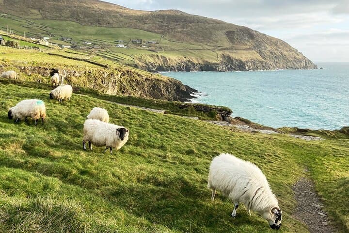
The route follows the historic Slea Head Drive, a circuit that passes medieval churches, stone-roofed Gallarus Oratory and the steep path down to Dunquin Pier — once the departure for Great Blasket Island emigrants. The geology here is largely Devonian and Carboniferous sandstone and shale, carved by millennia of Atlantic swell into sea stacks, coves, and storm beaches such as Clogher Strand and Coumeenoole.
Cultural traces are constant: ogham-marked stones, small churches from the early medieval period, and a living Irish-speaking community whose livelihoods were long shaped by fishing and small-scale farming. Photography on this tour is practical — composition tips for any phone or camera, quick lessons in light and exposure, plus posed group shots with the cliffs as backdrop.
Practical: the shared tour runs about 3–4 hours with minimal walking at each stop (20–45 minutes). Wear waterproof layers, bring a charged camera or phone, and expect wind and changeable weather. Parking and facilities are limited at some stops; keep valuables secure and allow time for tide-dependent beach access. For photographers and sightseers alike, this is a compact, high-value window into the western edge of Ireland.
easy.
3–4 hours.
Suitable for most fitness levels; short, easy walks from vehicle to viewpoints with some uneven ground
The tour is approximately 3.5 hours (210 minutes) and begins in Dingle town with pick-up details provided at booking.
Yes — the itinerary involves minimal walking and is described as suitable for all physical fitness levels; some stops have steep paths you can skip.
No paid admissions are required for the stops listed; the tour includes transportation and photography tuition only.
The operator cancels tours in severe weather; for cancellations at least 24 hours before departure a full refund is available.
The Slea Head area is dotted with early medieval Christian sites and stone-built maritime landing points used for centuries, including Dunquin Pier, the historical ferry to the Blaskets.
This coastline is sensitive: stick to paths, avoid trampling fragile vegetation on cliffs and follow local guidelines to protect nesting birds and coastal habitats.
Dingle Darkroom operates guided outdoor trips and adventures with an emphasis on safety, stewardship, and memorable experiences.
A low sun cuts across the Atlantic as the van threads a single-track lane, the Dingle Peninsula opening like a set of layered cliffs and rocky coves. Salt wind tugs at your hood while the driver eases to a stop at a high vantage: the Blasket Islands sit like dark shapes offshore and the coastline unfurls in raw angles. This is Slea Head — a coastline that dares you to frame it well.
A low sun cuts across the Atlantic as the van threads a single-track lane, the Dingle Peninsula opening like a set of layered cliffs and rocky coves. Salt wind tugs at your hood while the driver eases to a stop at a high vantage: the Blasket Islands sit like dark shapes offshore and the coastline unfurls in raw angles. This is Slea Head — a coastline that dares you to frame it well.
The route follows the historic Slea Head Drive, a circuit that passes medieval churches, stone-roofed Gallarus Oratory and the steep path down to Dunquin Pier — once the departure for Great Blasket Island emigrants. The geology here is largely Devonian and Carboniferous sandstone and shale, carved by millennia of Atlantic swell into sea stacks, coves, and storm beaches such as Clogher Strand and Coumeenoole.
Cultural traces are constant: ogham-marked stones, small churches from the early medieval period, and a living Irish-speaking community whose livelihoods were long shaped by fishing and small-scale farming. Photography on this tour is practical — composition tips for any phone or camera, quick lessons in light and exposure, plus posed group shots with the cliffs as backdrop.
Practical: the shared tour runs about 3–4 hours with minimal walking at each stop (20–45 minutes). Wear waterproof layers, bring a charged camera or phone, and expect wind and changeable weather. Parking and facilities are limited at some stops; keep valuables secure and allow time for tide-dependent beach access. For photographers and sightseers alike, this is a compact, high-value window into the western edge of Ireland.