THE ADVENTURE COLLECTIVE® · Independent discovery and booking for outdoor travel

A gentle, guided four-hour hike up Shioya Maruyama that rewards modest effort with wide ocean views, Yoichi and Otaru panoramas, and a summit snack. Ideal for first-time hikers who want local context and easy logistics from Shioya Station.
A gentle, guided four-hour hike up Shioya Maruyama that rewards modest effort with wide ocean views, Yoichi and Otaru panoramas, and a summit snack. Ideal for first-time hikers who want local context and easy logistics from Shioya Station.
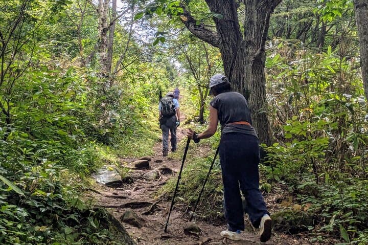
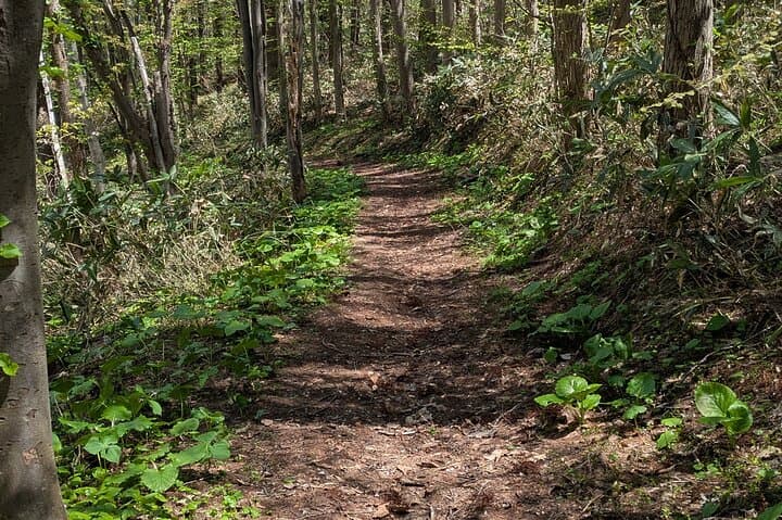
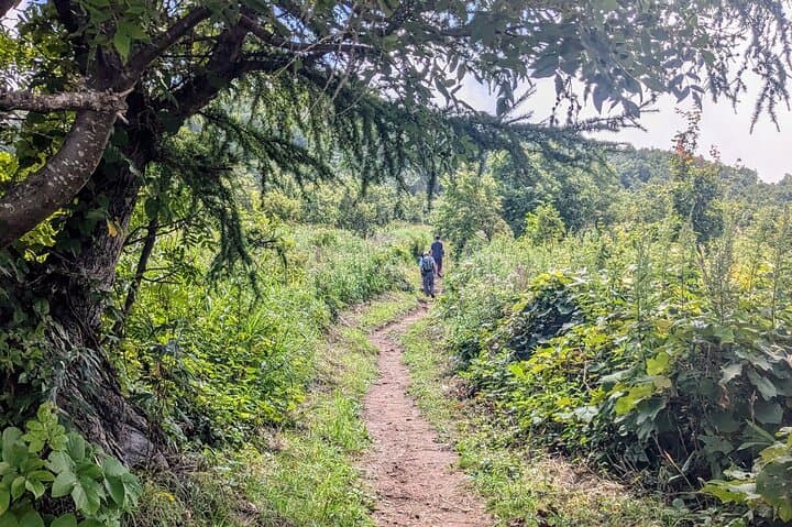
You step off the minivan at Shioya Station and the slope of Maruyama rises before you, a green shoulder meeting the blue of the Sea of Japan. The trail moves through mixed spruce and birch, switches into steeper fir-scented sections, then opens on ledges that frame Otaru’s rooftops and the distant cone of Mt. Yotei.
Verified experiences and guided adventures in the surrounding area.
Operated by Momentum Hokkaido · Otaru, Hokkaido
You step off the minivan at Shioya Station and the slope of Maruyama rises before you, a green shoulder meeting the blue of the Sea of Japan. The trail moves through mixed spruce and birch, switches into steeper fir-scented sections, then opens on ledges that frame Otaru’s rooftops and the distant cone of Mt. Yotei.
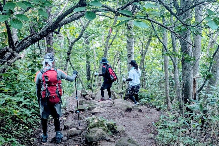
Geology here is recent—coastal terraces carved by rising and falling seas and volcanic soils drained toward the sea—so footing alternates between packed dirt and rocky steps. Culturally, the route skirts older fishing hamlets; look for weathered sea markers and simple shrines that signal local ties to both ocean and mountain. Guides often point out World War II-era coastal watch sites and the role these slopes played as common day-hike terrain for Otaru residents.
At the summit the sea dares you to linger: Yoichi, Otaru, and the distant silhouette of Yotei lay out like a living map while your guide pours a warming tea and hands out local snacks.
Practical guidance: the round-trip takes about four hours with moderate elevation change suitable for beginners with steady pace. Trails can be muddy in spring and slippery after rain, so carry traction-conscious shoes and bring 1–1.5 liters of water. Start mid-morning for stable weather and clearer views; summit snacks are provided but pack extra calories if you plan photos or slow sections. Transport from Shioya Station and hiking poles are typically included—confirm pickup time and weather cancellation policy before you go.
easy.
3–4 hours.
Reasonable cardio fitness and steady balance for uneven trail; entry-level hikers will be comfortable.
The route is classed entry-level with steady climbs; beginners in normal health who move at a moderate pace should complete the four-hour round trip.
Transport from Shioya Station is included; check pickup details with the operator for timing and exact meeting point.
Yes—guides serve local snacks and refreshments at the peak, but bringing extra calories is recommended for longer rests or bigger appetites.
The tour can be canceled for bad weather—confirm the operator’s 24-hour cancellation policy and any rescheduling options.
The slopes above Otaru have long been used by local fishers and hamlet residents for seasonal wood gathering; wartime coastal posts once monitored the sea from these ridgelines.
Stay on trail to protect regenerating alpine plants and loose volcanic soil; pack out all waste and avoid disturbing bird nesting sites near the ridge.
Momentum Hokkaido operates guided outdoor trips and adventures with an emphasis on safety, stewardship, and memorable experiences.
You step off the minivan at Shioya Station and the slope of Maruyama rises before you, a green shoulder meeting the blue of the Sea of Japan. The trail moves through mixed spruce and birch, switches into steeper fir-scented sections, then opens on ledges that frame Otaru’s rooftops and the distant cone of Mt. Yotei.
You step off the minivan at Shioya Station and the slope of Maruyama rises before you, a green shoulder meeting the blue of the Sea of Japan. The trail moves through mixed spruce and birch, switches into steeper fir-scented sections, then opens on ledges that frame Otaru’s rooftops and the distant cone of Mt. Yotei.
Geology here is recent—coastal terraces carved by rising and falling seas and volcanic soils drained toward the sea—so footing alternates between packed dirt and rocky steps. Culturally, the route skirts older fishing hamlets; look for weathered sea markers and simple shrines that signal local ties to both ocean and mountain. Guides often point out World War II-era coastal watch sites and the role these slopes played as common day-hike terrain for Otaru residents.
At the summit the sea dares you to linger: Yoichi, Otaru, and the distant silhouette of Yotei lay out like a living map while your guide pours a warming tea and hands out local snacks.
Practical guidance: the round-trip takes about four hours with moderate elevation change suitable for beginners with steady pace. Trails can be muddy in spring and slippery after rain, so carry traction-conscious shoes and bring 1–1.5 liters of water. Start mid-morning for stable weather and clearer views; summit snacks are provided but pack extra calories if you plan photos or slow sections. Transport from Shioya Station and hiking poles are typically included—confirm pickup time and weather cancellation policy before you go.