THE ADVENTURE COLLECTIVE® · Independent discovery and booking for outdoor travel

A demanding one-way hike across Serra Malagueta that drops into the Gongon and Hortelã valleys. Expect volcanic ridges, endemic plants, local hospitality, and 4–5 hours on varied terrain.
A demanding one-way hike across Serra Malagueta that drops into the Gongon and Hortelã valleys. Expect volcanic ridges, endemic plants, local hospitality, and 4–5 hours on varied terrain.
The trail opens with cool mountain air and a view that makes the island feel larger than it is: ridgelines cut into the sky, scrubby endemic plants leaning into the wind, and a single-track path winding toward the craggy summit at roughly 1,035 metres.
Verified experiences and guided adventures in the surrounding area.
Operated by Bu Country Tours · Assomada, Santiago
The trail opens with cool mountain air and a view that makes the island feel larger than it is: ridgelines cut into the sky, scrubby endemic plants leaning into the wind, and a single-track path winding toward the craggy summit at roughly 1,035 metres.
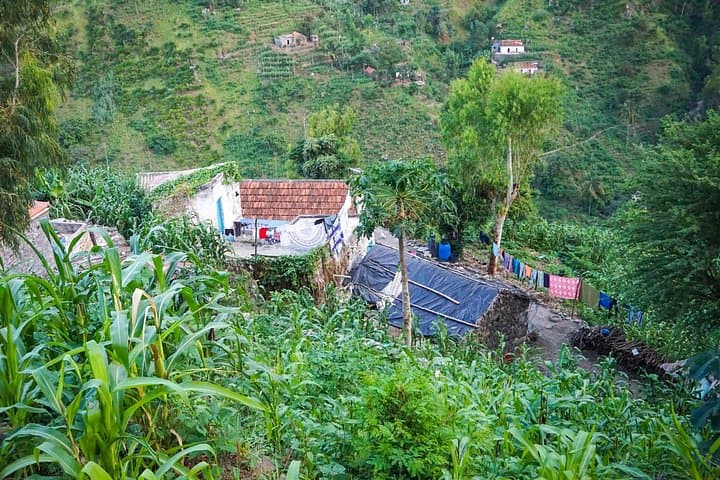
Serra Malagueta Natural Park protects some of Santiago’s highest ground, carved from ancient volcanic flows and weathered into a series of steep ridges and fertile valleys. The human story here is small-scale agriculture and mountain settlements; shepherds and farming families still tend terraces and welcome passing hikers with straightforward hospitality.
Geology is readable beneath your boots — hard basaltic rock gives way to red soils and gullies that guide seasonal streams into the Hortelã valley. Birdsong is part of the route; the itinerary often notes gray-headed kingfishers flitting through scrub and endemic warblers hidden in dense bushes.
Practically, expect a one-way route of about 12.5 km with roughly 580 m of ascent and a larger cumulative descent (about 1,100 m of loss), taking 4–5 hours of walking. The path alternates between hard-packed tracks and steep, loose sections; sticky shoes and steady footing matter. A small park entrance fee contributes to upkeep — bring cash.
Plan for sun exposure on exposed ridges, cooler temperatures near the summit, and opportunities to stop at remote family homes for a picnic. Respect private plots, stay on trail, and carry sufficient water: springs are seasonal and shade intermittent. The hike rewards with dramatic island panoramas and a clear sense of how people and place endure together.
difficult.
4–5 hours.
Suitable for hikers with good endurance and experience on sustained climbs and technical descents
The route totals about 12.5 km with ~580 m ascent; it's rated difficult due to steep and sometimes loose terrain — good fitness and hiking boots are required.
Yes, a small fee (around €2 per person) is normally collected at the park entrance and is not included in many tour prices.
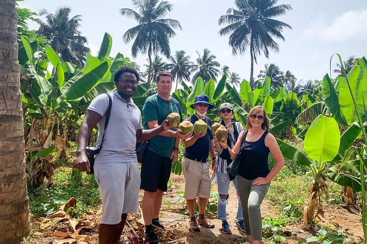
No permanent services; the tour typically includes a picnic (juice, sandwich, fruit) but bring extra water and snacks for the full day.
This hike is not recommended for young children, pregnant travelers, or people with significant cardiovascular or spinal issues due to long duration and steep sections.
Traditional farming and pastoral life shaped the terraces and remote settlements; the park protects both natural habitat and cultural landscapes.
Stick to marked trails, avoid lighting fires, and respect local plots — the modest entrance fee helps maintain trails and conservation programs.
Bu Country Tours operates guided outdoor trips and adventures with an emphasis on safety, stewardship, and memorable experiences.
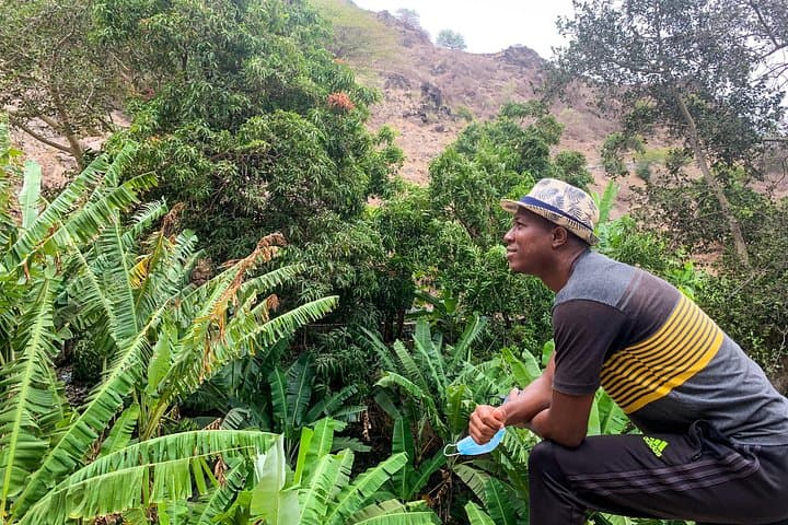
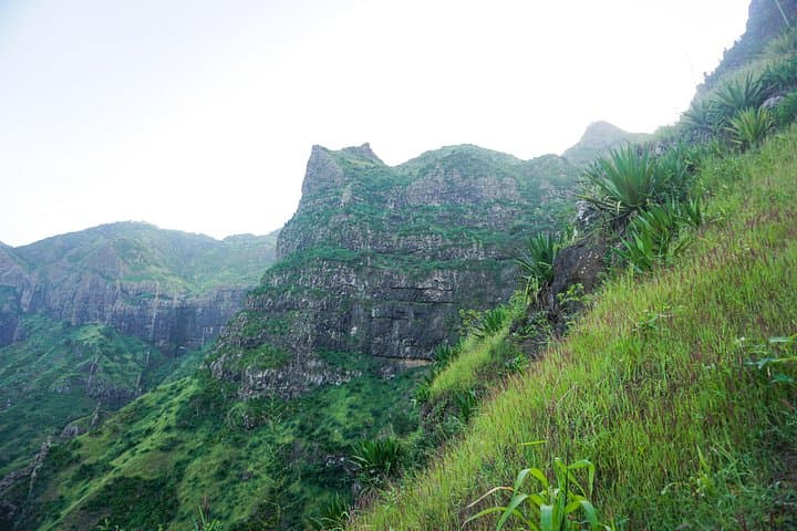
The trail opens with cool mountain air and a view that makes the island feel larger than it is: ridgelines cut into the sky, scrubby endemic plants leaning into the wind, and a single-track path winding toward the craggy summit at roughly 1,035 metres.
The trail opens with cool mountain air and a view that makes the island feel larger than it is: ridgelines cut into the sky, scrubby endemic plants leaning into the wind, and a single-track path winding toward the craggy summit at roughly 1,035 metres.
Serra Malagueta Natural Park protects some of Santiago’s highest ground, carved from ancient volcanic flows and weathered into a series of steep ridges and fertile valleys. The human story here is small-scale agriculture and mountain settlements; shepherds and farming families still tend terraces and welcome passing hikers with straightforward hospitality.
Geology is readable beneath your boots — hard basaltic rock gives way to red soils and gullies that guide seasonal streams into the Hortelã valley. Birdsong is part of the route; the itinerary often notes gray-headed kingfishers flitting through scrub and endemic warblers hidden in dense bushes.
Practically, expect a one-way route of about 12.5 km with roughly 580 m of ascent and a larger cumulative descent (about 1,100 m of loss), taking 4–5 hours of walking. The path alternates between hard-packed tracks and steep, loose sections; sticky shoes and steady footing matter. A small park entrance fee contributes to upkeep — bring cash.
Plan for sun exposure on exposed ridges, cooler temperatures near the summit, and opportunities to stop at remote family homes for a picnic. Respect private plots, stay on trail, and carry sufficient water: springs are seasonal and shade intermittent. The hike rewards with dramatic island panoramas and a clear sense of how people and place endure together.