THE ADVENTURE COLLECTIVE® · Independent discovery and booking for outdoor travel

Walk Seoul’s ancient fortress wall along Naksan Mountain with a local storyteller-guide. Expect panoramic urban views, historic anecdotes about Joseon-era defenses, and a descent through Ihwa Mural Village to Daehak‑ro’s theater scene.
Walk Seoul’s ancient fortress wall along Naksan Mountain with a local storyteller-guide. Expect panoramic urban views, historic anecdotes about Joseon-era defenses, and a descent through Ihwa Mural Village to Daehak‑ro’s theater scene.
Clouds break over a ragged line of stone and the city answers in a grid of roofs and neon. You start on the ridge where the Joseon-era fortress wall traces the spine of Naksan — known locally as “Camel Mountain” for its curving profile — and the guide’s voice threads history into the view: palace defenses, wartime survival, and even a royal cabbage patch that shaped neighborhoods below.
Verified experiences and guided adventures in the surrounding area.
Operated by Curated Korea Travel · Seoul, Seoul
Clouds break over a ragged line of stone and the city answers in a grid of roofs and neon. You start on the ridge where the Joseon-era fortress wall traces the spine of Naksan — known locally as “Camel Mountain” for its curving profile — and the guide’s voice threads history into the view: palace defenses, wartime survival, and even a royal cabbage patch that shaped neighborhoods below.
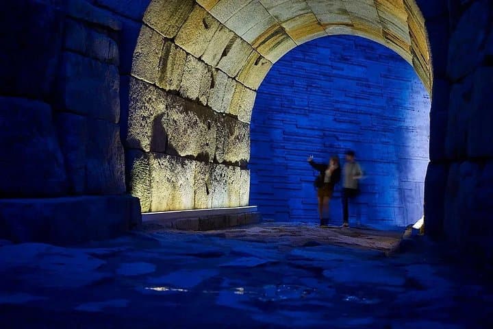
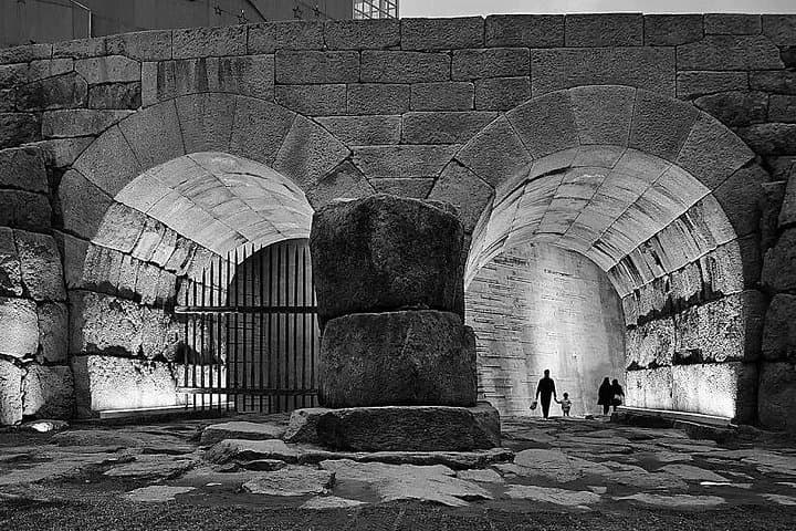
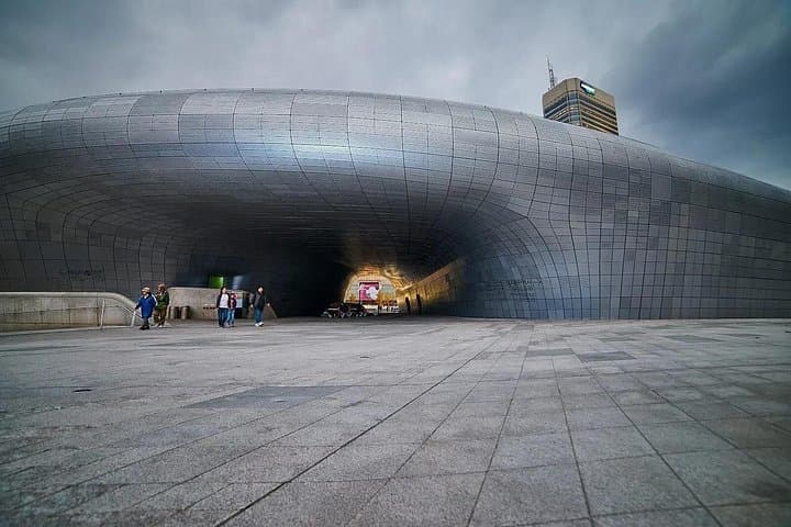
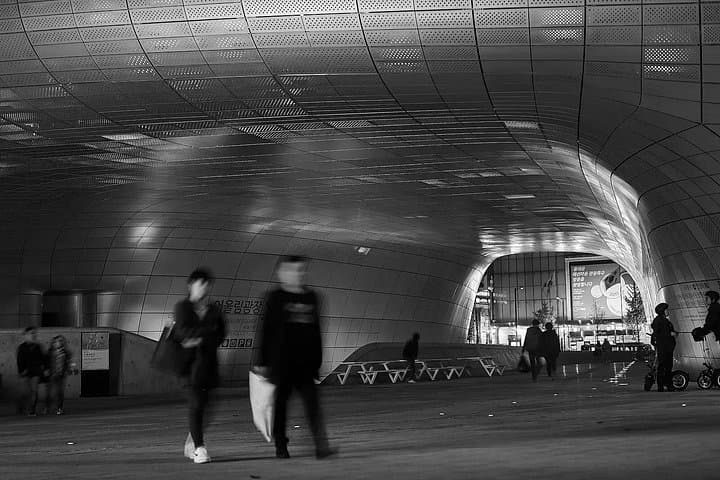
The stones beneath your feet are both geology and memory — granite and hand-hewn blocks set to hold a city’s edge. From the high, exposed wall you’ll see layers of Seoul’s growth: low hanok roofs, modern towers, and the swooping stainless-steel curve of Dongdaemun Design Plaza. The route drops into Ihwa-dong’s mural‑strewn alleys where public art meets daily life, then eases into Marronnier Park in Daehak‑ro, a compact theater district buzzing with student energy.
This walk is as much cultural anthropology as hike: expect tales of kings and commoners, wartime maps, and neighborhood regeneration. The terrain is mostly paved paths and stone steps, with short steep pitches and panoramic lookouts; plan on 2–3 hours at a steady, conversational pace.
Practical edge: bring layered clothes for windy ridgelines, a charged phone for photos (and maps), and modest, grippy footwear for wet stone. Morning or late-afternoon departures cut heat and glare; quieter weekdays reveal local rhythms in cafes and side streets.
This is an urban walk that reads the city like a long-form story — tactile, historical, and immediately useful for travelers who want context with their view.
moderate.
2–3 hours.
Moderate fitness—able to handle 30–60 minutes of steady uphill/downhill walking and stone steps.
Typical starts are near Dongdaemun Design Plaza or a nearby meeting point; the route finishes at Marronnier Park in Daehak‑ro.
Families and older adults in moderate health can usually do the walk, but it includes stairs and short steep sections—check with the operator for accessibility needs.
Tours are led by an English-speaking licensed local guide; check booking details for alternative language availability.
Bring a snack if you prefer, but the walk ends in Daehak‑ro where cafés and eateries are plentiful for a post‑walk meal.
Seoul’s fortress wall was built and expanded between the 14th and 18th centuries to protect the early Joseon capital; Naksan was part of that defensive arc and later a key neighborhood for refugees after the Korean War.
The wall and hillside neighborhoods undergo ongoing restoration and community-driven art projects; visitors should stick to paths and respect murals and private property to support preservation.
Curated Korea Travel operates guided outdoor trips and adventures with an emphasis on safety, stewardship, and memorable experiences.
Clouds break over a ragged line of stone and the city answers in a grid of roofs and neon. You start on the ridge where the Joseon-era fortress wall traces the spine of Naksan — known locally as “Camel Mountain” for its curving profile — and the guide’s voice threads history into the view: palace defenses, wartime survival, and even a royal cabbage patch that shaped neighborhoods below.
Clouds break over a ragged line of stone and the city answers in a grid of roofs and neon. You start on the ridge where the Joseon-era fortress wall traces the spine of Naksan — known locally as “Camel Mountain” for its curving profile — and the guide’s voice threads history into the view: palace defenses, wartime survival, and even a royal cabbage patch that shaped neighborhoods below.
The stones beneath your feet are both geology and memory — granite and hand-hewn blocks set to hold a city’s edge. From the high, exposed wall you’ll see layers of Seoul’s growth: low hanok roofs, modern towers, and the swooping stainless-steel curve of Dongdaemun Design Plaza. The route drops into Ihwa-dong’s mural‑strewn alleys where public art meets daily life, then eases into Marronnier Park in Daehak‑ro, a compact theater district buzzing with student energy.
This walk is as much cultural anthropology as hike: expect tales of kings and commoners, wartime maps, and neighborhood regeneration. The terrain is mostly paved paths and stone steps, with short steep pitches and panoramic lookouts; plan on 2–3 hours at a steady, conversational pace.
Practical edge: bring layered clothes for windy ridgelines, a charged phone for photos (and maps), and modest, grippy footwear for wet stone. Morning or late-afternoon departures cut heat and glare; quieter weekdays reveal local rhythms in cafes and side streets.
This is an urban walk that reads the city like a long-form story — tactile, historical, and immediately useful for travelers who want context with their view.