THE ADVENTURE COLLECTIVE® · Independent discovery and booking for outdoor travel

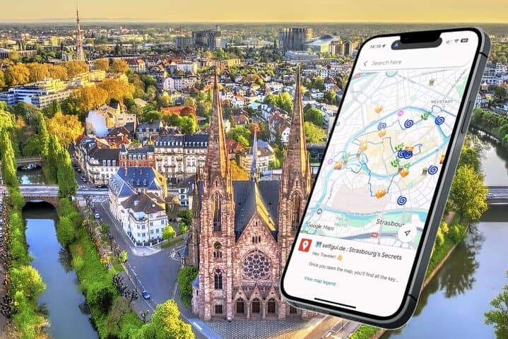
Walk Strasbourg on your own terms with a pre‑pinned Google Map that guides you from Cathédrale Notre‑Dame to Petite‑France and secret rooftops. Follow the canals, learn local stories, and choose your pace — all without an app download.
Walk Strasbourg on your own terms with a pre‑pinned Google Map that guides you from Cathédrale Notre‑Dame to Petite‑France and secret rooftops. Follow the canals, learn local stories, and choose your pace — all without an app download.
You open the map at the foot of Cathédrale Notre-Dame and the city unwraps itself: stone pinnacles, a clock that keeps centuries of time, and canals that dare you to follow their curves.
Verified experiences and guided adventures in the surrounding area.
Operated by Selfgui.de International · Strasbourg, Grand Est
You open the map at the foot of Cathédrale Notre-Dame and the city unwraps itself: stone pinnacles, a clock that keeps centuries of time, and canals that dare you to follow their curves.
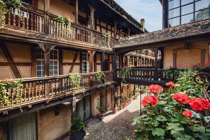
This self-guided e‑map routes you through Strasbourg’s Gothic heart, across Barrage Vauban’s seventeenth‑century arches, and into Petite‑France’s waterside lanes. The city sits on the Rhine’s floodplain, where geology of alluvial soils shaped the narrow islands and canals that define the Grande Île. Cultural crosscurrents between French and German rule are visible in the timber‑framed houses, the Alsatian dialect still heard in cafés, and dishes like flammekueche served alongside local beers.
History threads the route: the cathedral’s astronomical clock, the Civil Hospital’s vaulted wine cellars, and fortified bridges that tell of strategic importance on Europe’s borderlands. Parks such as Parc de l’Orangerie add green breathing room and storks that nest like local celebrities.
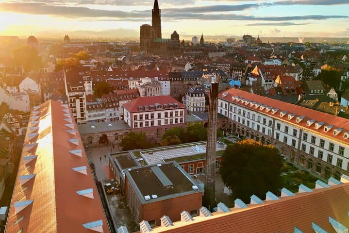
Practically, expect 2–3 hours of steady walking over cobbles and occasional steps. The selfgui.de® Google Map opens in one click — no app downloads — with pinned stops, short stories, and secret viewpoints. Time your walk for early morning light or late afternoon to avoid cruise crowds, bring a charged phone and a power bank for navigation, comfortable shoes for uneven surfaces, and a small umbrella if rain is forecast. Watch for cyclists on shared lanes and respect residential quiet in historic courtyards. With the map in your hand, you get the freedom to linger at a rooftop lookout or duck into a tucked‑away wine cellar — and the confidence of a local‑tested route that helps you miss nothing.
easy.
2–3 hours.
Suitable for most fitness levels; expect continuous walking on cobbles and short stair sections so basic stamina is helpful
No — the tour opens directly in Google Maps via a link you receive after purchase, so no separate app is required.
Plan 2–3 hours for the main route; allow extra time if you want to enter museums, visit rooftops, or stop for a long meal.
Some streets and bridges have cobblestones and steps; while portions are accessible, full route accessibility varies — check individual stops before setting out.
Yes — the e‑map is flexible and you can begin anywhere on the route that’s convenient for you.
Strasbourg’s Grande Île combines medieval urban planning and centuries of Franco‑German influence; the cathedral was a major medieval pilgrimage and once the world’s tallest building.
Stick to marked paths, avoid feeding wildlife, and support local businesses — sustainable tourism helps preserve the stork nests and historic fabric you’ll see.
Selfgui.de International operates guided outdoor trips and adventures with an emphasis on safety, stewardship, and memorable experiences.

You open the map at the foot of Cathédrale Notre-Dame and the city unwraps itself: stone pinnacles, a clock that keeps centuries of time, and canals that dare you to follow their curves.
You open the map at the foot of Cathédrale Notre-Dame and the city unwraps itself: stone pinnacles, a clock that keeps centuries of time, and canals that dare you to follow their curves.
This self-guided e‑map routes you through Strasbourg’s Gothic heart, across Barrage Vauban’s seventeenth‑century arches, and into Petite‑France’s waterside lanes. The city sits on the Rhine’s floodplain, where geology of alluvial soils shaped the narrow islands and canals that define the Grande Île. Cultural crosscurrents between French and German rule are visible in the timber‑framed houses, the Alsatian dialect still heard in cafés, and dishes like flammekueche served alongside local beers.
History threads the route: the cathedral’s astronomical clock, the Civil Hospital’s vaulted wine cellars, and fortified bridges that tell of strategic importance on Europe’s borderlands. Parks such as Parc de l’Orangerie add green breathing room and storks that nest like local celebrities.
Practically, expect 2–3 hours of steady walking over cobbles and occasional steps. The selfgui.de® Google Map opens in one click — no app downloads — with pinned stops, short stories, and secret viewpoints. Time your walk for early morning light or late afternoon to avoid cruise crowds, bring a charged phone and a power bank for navigation, comfortable shoes for uneven surfaces, and a small umbrella if rain is forecast. Watch for cyclists on shared lanes and respect residential quiet in historic courtyards. With the map in your hand, you get the freedom to linger at a rooftop lookout or duck into a tucked‑away wine cellar — and the confidence of a local‑tested route that helps you miss nothing.