THE ADVENTURE COLLECTIVE® · Independent discovery and booking for outdoor travel

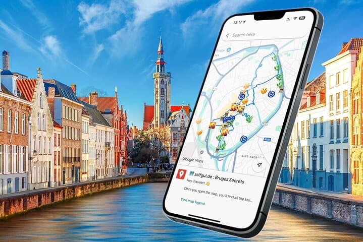
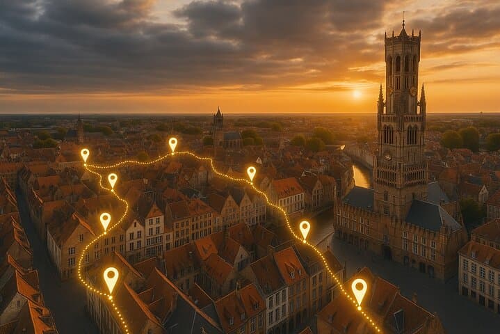
Explore Bruges at your own pace with a ready-to-use e-map that pins iconic sites and tucked-away local stops. Ideal for 2–4 hour walks, the self-guided route covers the Belfry, beguinage, canals, and brewery viewpoints without a rigid schedule.
Explore Bruges at your own pace with a ready-to-use e-map that pins iconic sites and tucked-away local stops. Ideal for 2–4 hour walks, the self-guided route covers the Belfry, beguinage, canals, and brewery viewpoints without a rigid schedule.
You step off the tram into a square where brick facades rise directly from narrow canals and swans paddle as if timing their own arrivals. The map opens in your phone and, like a seasoned local, guides you past the Belfry’s shadow, along cobbled lanes, and up to a rooftop view over the city’s patchwork of red tiles and waterways.
Verified experiences and guided adventures in the surrounding area.
Operated by Selfgui.de International · Bruges, West Flanders
You step off the tram into a square where brick facades rise directly from narrow canals and swans paddle as if timing their own arrivals. The map opens in your phone and, like a seasoned local, guides you past the Belfry’s shadow, along cobbled lanes, and up to a rooftop view over the city’s patchwork of red tiles and waterways.
Bruges grew wealthy as a medieval trading hub in the Hanseatic network; its canals and guild houses still speak of merchants, wool, and long-distance commerce. The city sits on the low-lying Flemish plain — soft sediments, reclaimed marshes, and canal engineering that shaped both landscape and livelihood.
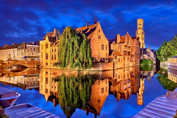
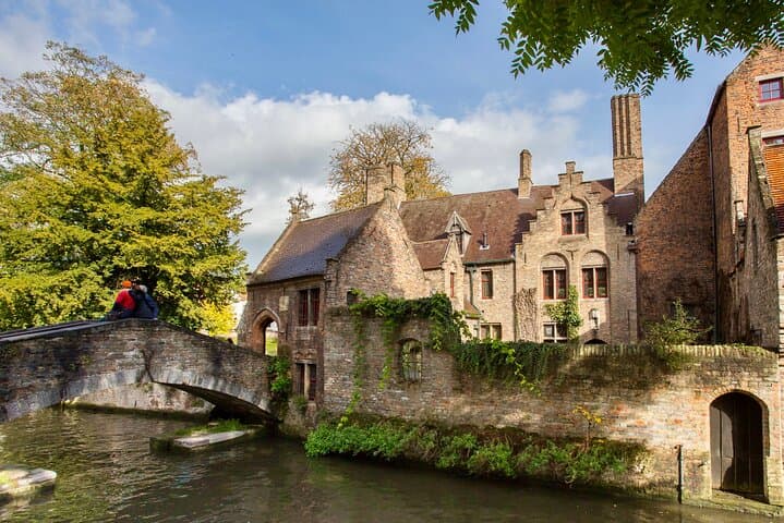
This self-guided e-map strings together major sites (Sint‑Janshospitaal, Church of Our Lady, Rozenhoedkaai) with quieter stops such as the Princely Beguinage and a working urban windmill. Cultural notes point out the brewery pipeline at De Halve Maan and where to find crisp fries and a local dubbel to pair with them. The route balances photo moments with short detours into parks and courtyards.
Practical edge: expect 2–4 hours of walking, uneven cobbles, and narrow alleys where rain slickness matters. Start early for softer light and fewer crowds, charge your phone for navigation, and allow extra time for a rooftop or museum stop. The self-guided format gives flexibility—follow the suggested order or improvise—but the pre-pinned Google Map saves the guesswork, ensuring you see iconic viewpoints and the subtle local corners most visitors miss.
easy.
2–4 hours.
Suitable for most fitness levels; requires ability to walk on cobbles for several hours and climb stairs at some attractions
No — the e-map opens in Google Maps with pre-pinned stops and directions; no additional app required.
Much of the route is family-friendly, but cobbles and narrow bridges can be difficult with strollers; choose a stroller with good wheels or plan alternate paths.
Admissions are generally not included; the map flags highlights and suggested museums but entry fees are paid on site.
Yes — lifetime access is provided, so you can use the map whenever you visit Bruges.
Bruges rose to prominence in the 12th–15th centuries as a North Sea trade hub; many surviving canals and guild houses reflect that mercantile history.
The city manages canal water levels and historic building conservation; visitors are asked to stick to paths and avoid feeding wildlife to protect fragile urban ecosystems.
Selfgui.de International operates guided outdoor trips and adventures with an emphasis on safety, stewardship, and memorable experiences.
You step off the tram into a square where brick facades rise directly from narrow canals and swans paddle as if timing their own arrivals. The map opens in your phone and, like a seasoned local, guides you past the Belfry’s shadow, along cobbled lanes, and up to a rooftop view over the city’s patchwork of red tiles and waterways.
You step off the tram into a square where brick facades rise directly from narrow canals and swans paddle as if timing their own arrivals. The map opens in your phone and, like a seasoned local, guides you past the Belfry’s shadow, along cobbled lanes, and up to a rooftop view over the city’s patchwork of red tiles and waterways.
Bruges grew wealthy as a medieval trading hub in the Hanseatic network; its canals and guild houses still speak of merchants, wool, and long-distance commerce. The city sits on the low-lying Flemish plain — soft sediments, reclaimed marshes, and canal engineering that shaped both landscape and livelihood.
This self-guided e-map strings together major sites (Sint‑Janshospitaal, Church of Our Lady, Rozenhoedkaai) with quieter stops such as the Princely Beguinage and a working urban windmill. Cultural notes point out the brewery pipeline at De Halve Maan and where to find crisp fries and a local dubbel to pair with them. The route balances photo moments with short detours into parks and courtyards.
Practical edge: expect 2–4 hours of walking, uneven cobbles, and narrow alleys where rain slickness matters. Start early for softer light and fewer crowds, charge your phone for navigation, and allow extra time for a rooftop or museum stop. The self-guided format gives flexibility—follow the suggested order or improvise—but the pre-pinned Google Map saves the guesswork, ensuring you see iconic viewpoints and the subtle local corners most visitors miss.