THE ADVENTURE COLLECTIVE® · Independent discovery and booking for outdoor travel

Turn a classic visit to Niagara Falls into an interactive hunt. This Let’s Roam self-guided scavenger trail uses an app to deliver clues, photo challenges and local history as you explore waterfalls, parks and viewpoints.
Turn a classic visit to Niagara Falls into an interactive hunt. This Let’s Roam self-guided scavenger trail uses an app to deliver clues, photo challenges and local history as you explore waterfalls, parks and viewpoints.
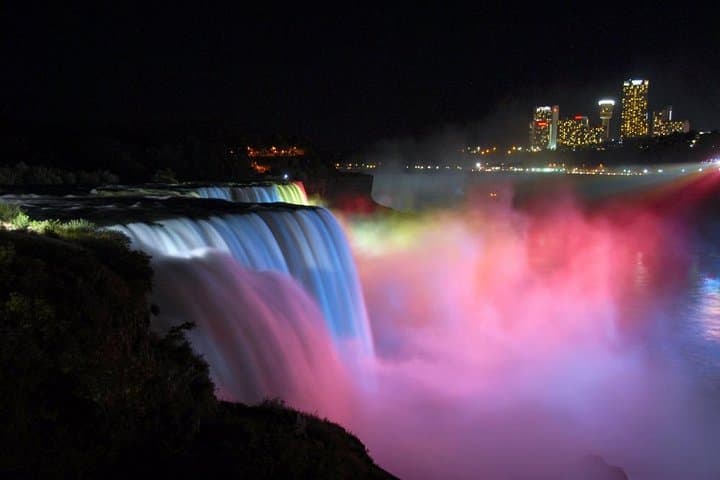
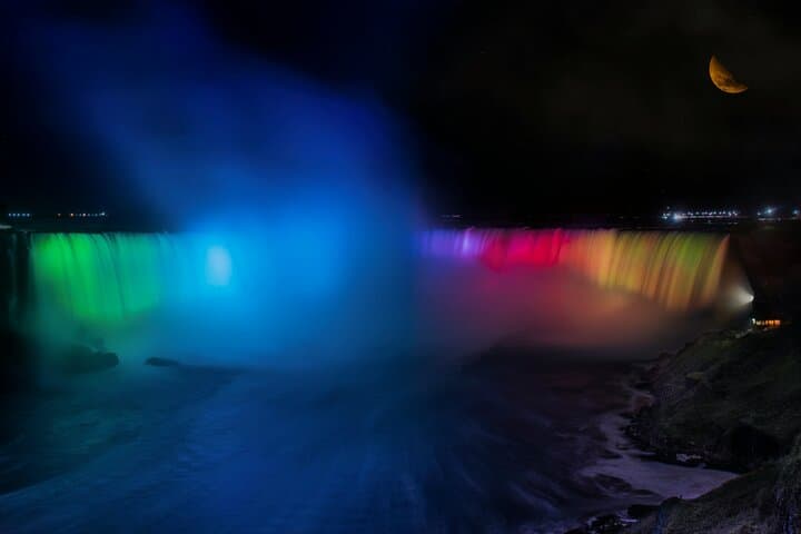
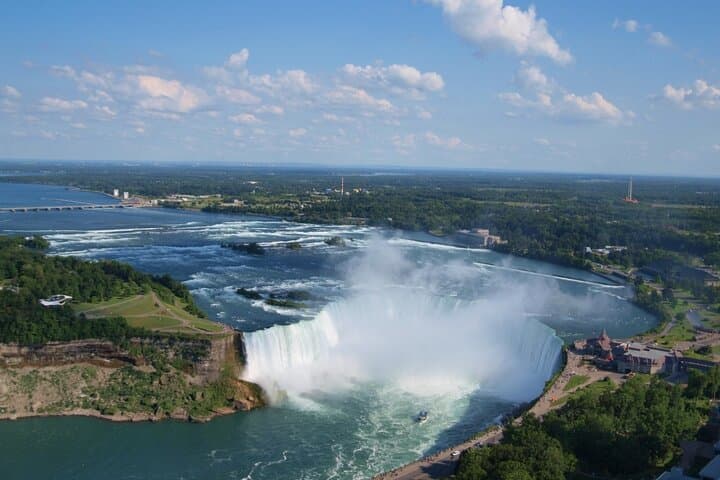
You start with mist on your face and the steady percussion of water — Horseshoe Falls breathing like a living engine. The app nudges you toward Table Rock; clues tangle with plaques, staircases and panoramic overlooks as the city folds around the river. Walkers, families and curious teams scatter across Queen Victoria Park while the Niagara River dares you to look over the rail and trace the current downstream.
Verified experiences and guided adventures in the surrounding area.
Operated by Let's Roam · Niagara Falls, Ontario
You start with mist on your face and the steady percussion of water — Horseshoe Falls breathing like a living engine. The app nudges you toward Table Rock; clues tangle with plaques, staircases and panoramic overlooks as the city folds around the river. Walkers, families and curious teams scatter across Queen Victoria Park while the Niagara River dares you to look over the rail and trace the current downstream.
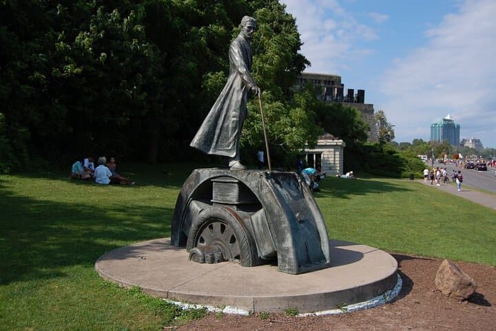
This hunt threads modern tourism through a long history: Indigenous peoples stewarded these waters long before 19th‑century entrepreneurs built observation decks and hydroelectric plants reshaped the gorge. The basalt bedrock and glacially carved riverbanks are readable in cliff faces and whirlpools; Tesla and other inventors left a technological footprint you’ll encounter between photo challenges.
Culturally the route mixes spectacle and small-town service — street performers, park gardeners, and museum placards punctuate the route. The app-led format turns landmarks into interactive missions so you see things you might otherwise pass.
Practical guidance: plan for roughly two hours of walking along paved and riverbank paths with some steps and slopes. Bring a fully charged phone and a portable battery, because navigation and photo tasks run the experience. Wear grippy footwear and a light waterproof layer — mist from the falls can chill even on warm days. Start early to avoid peak crowds and use public transit or paid parking near 6650 Niagara Pkwy. Since this is self-guided, move at your pace, split roles among teammates, and respect signage around viewpoints and restricted areas.
moderate.
2 hours.
Light to moderate walking fitness; comfortable with stairs and short slopes.
No—this is self-guided and designed for all experience levels; the app gives instructions and clues as you go.
The typical runtime is about two hours, but you can take more or less time depending on pace and stops.
Yes, this private self-guided tour can be started at your convenience once you redeem your voucher in the app.
Much of the main route along Niagara Parkway and Queen Victoria Park is accessible, though some viewpoints include stairs—check local signage for alternate ramps.
This route crosses land long used by Indigenous nations; later 19th‑century tourism and early hydroelectric development shaped the modern visitor experience, with inventors like Nikola Tesla leaving an industrial legacy.
Stick to marked paths, avoid trampling plantings in parks, and pack out trash; visitor pressure around viewpoints is high, so minimize impact and respect fenced-off areas.
Let's Roam operates guided outdoor trips and adventures with an emphasis on safety, stewardship, and memorable experiences.
You start with mist on your face and the steady percussion of water — Horseshoe Falls breathing like a living engine. The app nudges you toward Table Rock; clues tangle with plaques, staircases and panoramic overlooks as the city folds around the river. Walkers, families and curious teams scatter across Queen Victoria Park while the Niagara River dares you to look over the rail and trace the current downstream.
You start with mist on your face and the steady percussion of water — Horseshoe Falls breathing like a living engine. The app nudges you toward Table Rock; clues tangle with plaques, staircases and panoramic overlooks as the city folds around the river. Walkers, families and curious teams scatter across Queen Victoria Park while the Niagara River dares you to look over the rail and trace the current downstream.
This hunt threads modern tourism through a long history: Indigenous peoples stewarded these waters long before 19th‑century entrepreneurs built observation decks and hydroelectric plants reshaped the gorge. The basalt bedrock and glacially carved riverbanks are readable in cliff faces and whirlpools; Tesla and other inventors left a technological footprint you’ll encounter between photo challenges.
Culturally the route mixes spectacle and small-town service — street performers, park gardeners, and museum placards punctuate the route. The app-led format turns landmarks into interactive missions so you see things you might otherwise pass.
Practical guidance: plan for roughly two hours of walking along paved and riverbank paths with some steps and slopes. Bring a fully charged phone and a portable battery, because navigation and photo tasks run the experience. Wear grippy footwear and a light waterproof layer — mist from the falls can chill even on warm days. Start early to avoid peak crowds and use public transit or paid parking near 6650 Niagara Pkwy. Since this is self-guided, move at your pace, split roles among teammates, and respect signage around viewpoints and restricted areas.