THE ADVENTURE COLLECTIVE® · Independent discovery and booking for outdoor travel

Drive the Pantokrator massif at your own pace: a full-day self-guided route through Corfu’s highest peaks, remote villages and coastal lookouts. This guide covers what to expect on the narrow roads, local history, and practical tips for timing, gear and safety.
Drive the Pantokrator massif at your own pace: a full-day self-guided route through Corfu’s highest peaks, remote villages and coastal lookouts. This guide covers what to expect on the narrow roads, local history, and practical tips for timing, gear and safety.
You open the car door to a wind that seems to inspect your map before you; the road climbs, curves and pulls you into the limestone ribs of Corfu’s Pantokrator massif. Olive groves give way to terraced chestnuts and narrow village lanes where stone houses watch the sea below.
Verified experiences and guided adventures in the surrounding area.
Operated by Corfu Travel Guide · Corfu Town (Kerkyra), Ionian Islands
You open the car door to a wind that seems to inspect your map before you; the road climbs, curves and pulls you into the limestone ribs of Corfu’s Pantokrator massif. Olive groves give way to terraced chestnuts and narrow village lanes where stone houses watch the sea below.
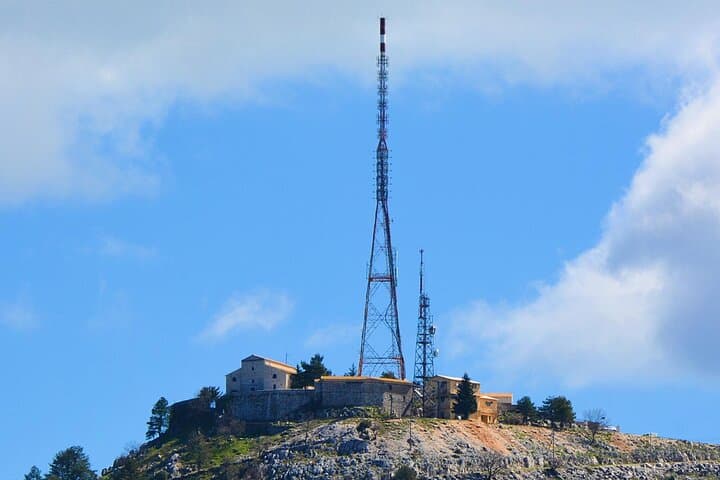
The mountain has been a landmark for centuries — its summit, Pantokrator, is the island’s highest point and a watchful presence over Venetian harbors and Ottoman-era routes. Geologically the range is folded limestone and karst terrain, carved by rain into ridges and clefts that funnel scents of pine and thyme. Culture here is slow: small tavernas serve braised goat and local olives, and villages like Spartillas and the old settlement of Ano Perithia preserve narrow squares and lived-in stones.
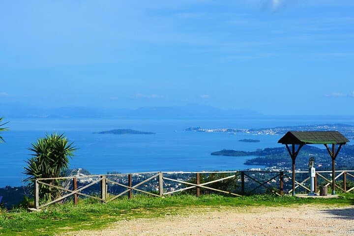
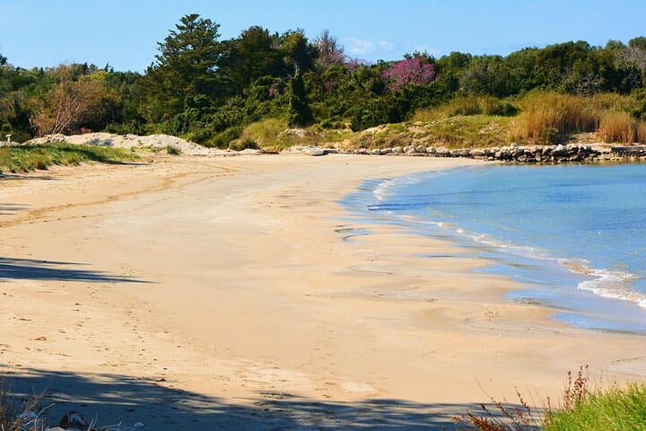
The drive is designed for a full day but flexible: stop for short walks, cliff-edge views, or a swim on a coastal detour. Expect narrow, steep switchbacks, occasional gravel pullouts and panoramic overlooks where the Ionian Sea pulls attention westward. The route’s audio and map guidance make navigation simple — but local driving habits and tiny lanes demand focus.
Practical edge: fill the tank in Corfu Town, download the route before you start, and set out early to catch the ridge light and cooler temperatures. Wear sturdy shoes for brief hikes, carry water and sun protection, and leave space in your schedule for a taverna pause — the mountain’s hospitality is part of the journey.
easy.
2–8 hours.
Minimal fitness required — able to step in and out of the car and walk short, uneven village paths and viewpoints.
Yes — the experience is a self-guided drive delivered via an app; you must have a rental or personal car and a valid driving licence.
The itinerary is flexible: expect 2–8 hours depending on stops for walks, meals and swims; a full relaxed day allows time for villages and viewpoints.
Many villages and viewpoints are accessible for children and strollers, but some paths and scenic overlooks involve steps or uneven ground, so plan accordingly.
Coverage is generally good near larger villages and Corfu Town, but the app is designed to work offline — download all materials before departing.
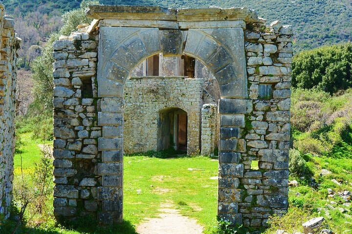
The Pantokrator massif shaped Corfu’s inland life for centuries; Venetian rule and later British administration left roads, chapels and village layouts that reflect layered island history.
The limestone slopes are ecologically sensitive — stick to roads and marked paths, avoid disturbing terraced agriculture, and pack out any trash to protect water-limited communities.
Corfu Travel Guide operates guided outdoor trips and adventures with an emphasis on safety, stewardship, and memorable experiences.
You open the car door to a wind that seems to inspect your map before you; the road climbs, curves and pulls you into the limestone ribs of Corfu’s Pantokrator massif. Olive groves give way to terraced chestnuts and narrow village lanes where stone houses watch the sea below.
You open the car door to a wind that seems to inspect your map before you; the road climbs, curves and pulls you into the limestone ribs of Corfu’s Pantokrator massif. Olive groves give way to terraced chestnuts and narrow village lanes where stone houses watch the sea below.
The mountain has been a landmark for centuries — its summit, Pantokrator, is the island’s highest point and a watchful presence over Venetian harbors and Ottoman-era routes. Geologically the range is folded limestone and karst terrain, carved by rain into ridges and clefts that funnel scents of pine and thyme. Culture here is slow: small tavernas serve braised goat and local olives, and villages like Spartillas and the old settlement of Ano Perithia preserve narrow squares and lived-in stones.
The drive is designed for a full day but flexible: stop for short walks, cliff-edge views, or a swim on a coastal detour. Expect narrow, steep switchbacks, occasional gravel pullouts and panoramic overlooks where the Ionian Sea pulls attention westward. The route’s audio and map guidance make navigation simple — but local driving habits and tiny lanes demand focus.
Practical edge: fill the tank in Corfu Town, download the route before you start, and set out early to catch the ridge light and cooler temperatures. Wear sturdy shoes for brief hikes, carry water and sun protection, and leave space in your schedule for a taverna pause — the mountain’s hospitality is part of the journey.