THE ADVENTURE COLLECTIVE® · Independent discovery and booking for outdoor travel

Lift above Sedona’s red fins to see Anasazi cliff dwellings, Devil’s Bridge, and secret canyons on a narrated 20–25 minute helicopter flight. This quick aerial tour delivers big views, cultural context, and a low-impact way to visit fragile archaeological sites.
Lift above Sedona’s red fins to see Anasazi cliff dwellings, Devil’s Bridge, and secret canyons on a narrated 20–25 minute helicopter flight. This quick aerial tour delivers big views, cultural context, and a low-impact way to visit fragile archaeological sites.
The rotor’s thrum grows from a distant promise to an immediate pulse as the helicopter lifts you above red sandstone fins and scrub-slick washes. From the air Sedona’s ridgelines arrange themselves like a map of eras: bright Navajo sandstone, shadowed canyons, and the pale ledges where people once carved homes into stone.
Verified experiences and guided adventures in the surrounding area.
Operated by Guidance Air · Sedona, Arizona
The rotor’s thrum grows from a distant promise to an immediate pulse as the helicopter lifts you above red sandstone fins and scrub-slick washes. From the air Sedona’s ridgelines arrange themselves like a map of eras: bright Navajo sandstone, shadowed canyons, and the pale ledges where people once carved homes into stone.
This short, 20–25 minute flight threads past Boynton Canyon, Devil’s Bridge, and the Anasazi cliff dwellings — sites occupied by Ancestral Puebloans roughly 700 years ago. Geology here is blunt and readable: horizontal layers tilted by uplift, eroded by intermittent flash floods into arches and natural bridges. Culturally, the landscape is still meaningful to Hopi and other tribes; the view from above offers context without footprints.
Expect narrated commentary that points out geological formations, historical sites, and seasonal wildlife while headsets keep the pilot’s voice clear. The line between canyon and mesa tightens as you approach Palatki/Honanki areas where cliff-side rooms stare out across time.
Practical edge: flights are brief but weather-dependent; mornings often have better visibility and calmer winds. Wear sun protection and secure cameras — there’s no landing at ruins, so the aerial perspective is the ethical, low-impact way to experience fragile archaeology. Weight limits and quick check-in make punctuality important. For anyone short on time but hungry for perspective, this is a concentrated, high-visibility way to read Sedona’s story from above.
easy.
20–25 minutes.
No specific fitness required; suitable for most travelers including infants on laps
Flight time is approximately 20–25 minutes; allow extra time for check-in and safety briefings.
Yes—maximum weight is generally 300 lbs (136 kg) per seat; infants are allowed but must sit on an adult’s lap.
Flights are weather-dependent; operators will cancel or reschedule for safety and offer refunds if canceled at least 24 hours before departure.
The operator lists wheelchair accessibility; contact them ahead of time for specific transfer or mobility assistance details.
The cliff dwellings were occupied by Ancestral Puebloans roughly 700 years ago; these structures and rock art reflect long-standing indigenous presence in the region.
Aerial tours minimize foot traffic at fragile archaeological sites; choose licensed operators who follow low-impact flight practices and respect no-landing zones.
Guidance Air operates guided outdoor trips and adventures with an emphasis on safety, stewardship, and memorable experiences.
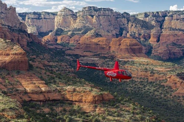
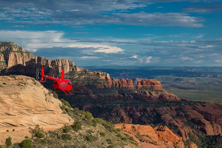
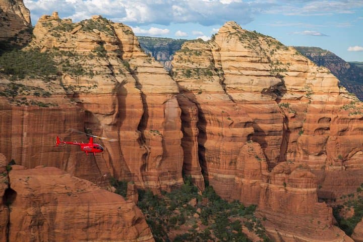
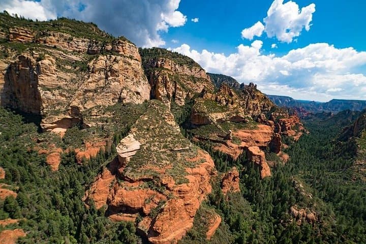
The rotor’s thrum grows from a distant promise to an immediate pulse as the helicopter lifts you above red sandstone fins and scrub-slick washes. From the air Sedona’s ridgelines arrange themselves like a map of eras: bright Navajo sandstone, shadowed canyons, and the pale ledges where people once carved homes into stone.
The rotor’s thrum grows from a distant promise to an immediate pulse as the helicopter lifts you above red sandstone fins and scrub-slick washes. From the air Sedona’s ridgelines arrange themselves like a map of eras: bright Navajo sandstone, shadowed canyons, and the pale ledges where people once carved homes into stone.
This short, 20–25 minute flight threads past Boynton Canyon, Devil’s Bridge, and the Anasazi cliff dwellings — sites occupied by Ancestral Puebloans roughly 700 years ago. Geology here is blunt and readable: horizontal layers tilted by uplift, eroded by intermittent flash floods into arches and natural bridges. Culturally, the landscape is still meaningful to Hopi and other tribes; the view from above offers context without footprints.
Expect narrated commentary that points out geological formations, historical sites, and seasonal wildlife while headsets keep the pilot’s voice clear. The line between canyon and mesa tightens as you approach Palatki/Honanki areas where cliff-side rooms stare out across time.
Practical edge: flights are brief but weather-dependent; mornings often have better visibility and calmer winds. Wear sun protection and secure cameras — there’s no landing at ruins, so the aerial perspective is the ethical, low-impact way to experience fragile archaeology. Weight limits and quick check-in make punctuality important. For anyone short on time but hungry for perspective, this is a concentrated, high-visibility way to read Sedona’s story from above.