THE ADVENTURE COLLECTIVE® · Independent discovery and booking for outdoor travel

Run 21 km through Sapa’s Muong Hoa Valley, moving from rice terraces and Hmong villages to the panoramic summit of Ham Rong. This guided small-group trail run blends demanding terrain with cultural encounters and big mountain views.
Run 21 km through Sapa’s Muong Hoa Valley, moving from rice terraces and Hmong villages to the panoramic summit of Ham Rong. This guided small-group trail run blends demanding terrain with cultural encounters and big mountain views.
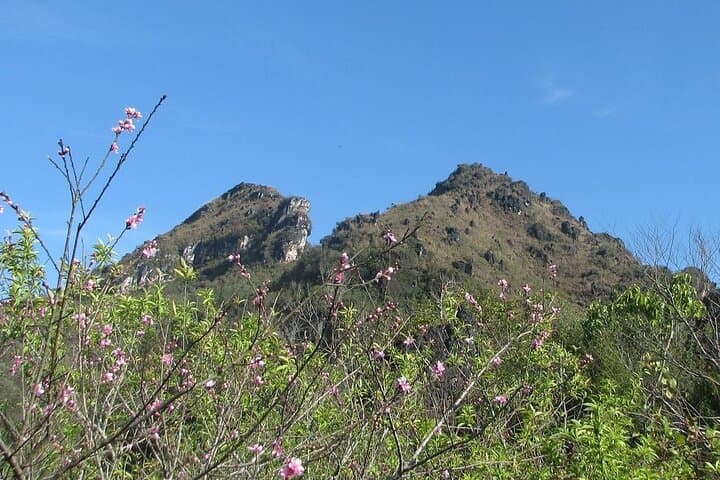
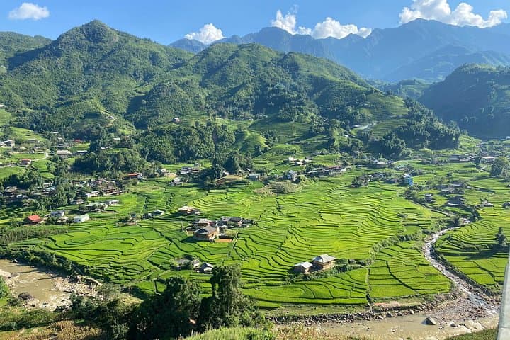
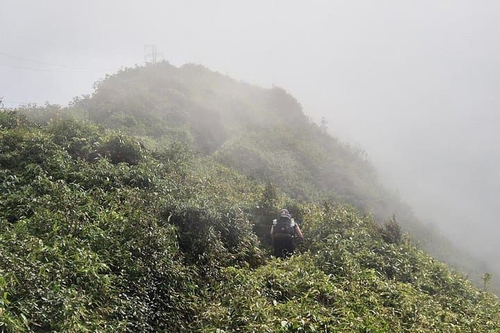
Mist clings to the rice terraces as you step onto a stone path, breath visible in the cool mountain air. The trail pushes you across narrow ridgelines, past terraces that slope like staircases into Muong Hoa Valley, and through Hmong villages where children glance up from their chores. The run moves from gentle dirt tracks to exposed stone, finishing with a steady climb to Ham Rong’s viewpoint where Sapa town and Fansipan puncture the horizon.
Verified experiences and guided adventures in the surrounding area.
Operated by SAIGONESE TREKKING HOUSE · Sapa, Lao Cai
Mist clings to the rice terraces as you step onto a stone path, breath visible in the cool mountain air. The trail pushes you across narrow ridgelines, past terraces that slope like staircases into Muong Hoa Valley, and through Hmong villages where children glance up from their chores. The run moves from gentle dirt tracks to exposed stone, finishing with a steady climb to Ham Rong’s viewpoint where Sapa town and Fansipan puncture the horizon.
The landscape here was shaped by generations of upland farming and the slow uplift of the Hoang Lien Range; terraced paddies and limestone outcrops tell a pragmatic geological story. Culturally, the route threads through Hmong communities—small clusters of wooden houses, indigo garments, and markets that reflect a living, local heritage rather than staged tourism.
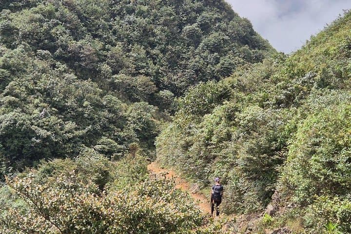
Expect mixed terrain: compact dirt, loose stone, occasional wet patches, and steep pitches on the final ascent. The guide will lead and set the pace, pointing out quieter hamlets like Hang Da and Hầu Thào where traditional agriculture still dominates.
Practical guidance: start with a solid warm-up and plan for 3–4 hours on trail-running cadence; carry a hydration pack with electrolytes and high-energy snacks provided en route. Wear grippy trail shoes and dress in breathable layers—mountain weather can switch from sun to drizzle within an hour. Conserve energy on steep sections, respect local paths and private fields, and allow time at the summit to take in the 360-degree view before the descent brings you back down through terraces and village lanes.
challenging.
3–4 hours.
Participants should have a high level of cardiovascular fitness and recent trail-running experience over uneven terrain.
No; the 21 km distance, mixed technical terrain, and sustained elevation gain require prior trail-running experience and high fitness.
Local Hmong guides typically speak Vietnamese and some English; small-group format helps with translation and pacing.
Tours may be canceled or rescheduled for heavy rain or unsafe conditions—check the 24-hour cancellation policy for refunds.
Bottled water, fresh fruit, and energy snacks are provided; full meals are not included so plan post-run dining in Sapa town.
Sapa grew as a French hill station in the early 20th century; its terraces are the result of centuries of Hmong and other upland ethnic farming practices.
Stick to trails and avoid disturbing irrigation channels or private plots; carry out all waste to reduce erosion and protect fragile terrace systems.
SAIGONESE TREKKING HOUSE operates guided outdoor trips and adventures with an emphasis on safety, stewardship, and memorable experiences.
Mist clings to the rice terraces as you step onto a stone path, breath visible in the cool mountain air. The trail pushes you across narrow ridgelines, past terraces that slope like staircases into Muong Hoa Valley, and through Hmong villages where children glance up from their chores. The run moves from gentle dirt tracks to exposed stone, finishing with a steady climb to Ham Rong’s viewpoint where Sapa town and Fansipan puncture the horizon.
Mist clings to the rice terraces as you step onto a stone path, breath visible in the cool mountain air. The trail pushes you across narrow ridgelines, past terraces that slope like staircases into Muong Hoa Valley, and through Hmong villages where children glance up from their chores. The run moves from gentle dirt tracks to exposed stone, finishing with a steady climb to Ham Rong’s viewpoint where Sapa town and Fansipan puncture the horizon.
The landscape here was shaped by generations of upland farming and the slow uplift of the Hoang Lien Range; terraced paddies and limestone outcrops tell a pragmatic geological story. Culturally, the route threads through Hmong communities—small clusters of wooden houses, indigo garments, and markets that reflect a living, local heritage rather than staged tourism.
Expect mixed terrain: compact dirt, loose stone, occasional wet patches, and steep pitches on the final ascent. The guide will lead and set the pace, pointing out quieter hamlets like Hang Da and Hầu Thào where traditional agriculture still dominates.
Practical guidance: start with a solid warm-up and plan for 3–4 hours on trail-running cadence; carry a hydration pack with electrolytes and high-energy snacks provided en route. Wear grippy trail shoes and dress in breathable layers—mountain weather can switch from sun to drizzle within an hour. Conserve energy on steep sections, respect local paths and private fields, and allow time at the summit to take in the 360-degree view before the descent brings you back down through terraces and village lanes.