THE ADVENTURE COLLECTIVE® · Independent discovery and booking for outdoor travel

Walk the Embarcadero with a GPS-guided audio tour that maps San Francisco's waterfront history and the practical realities of sea-level rise. Start opposite Cupid's Span and let local storytellers explain the engineering, culture, and climate issues shaping the bay.
Walk the Embarcadero with a GPS-guided audio tour that maps San Francisco's waterfront history and the practical realities of sea-level rise. Start opposite Cupid's Span and let local storytellers explain the engineering, culture, and climate issues shaping the bay.
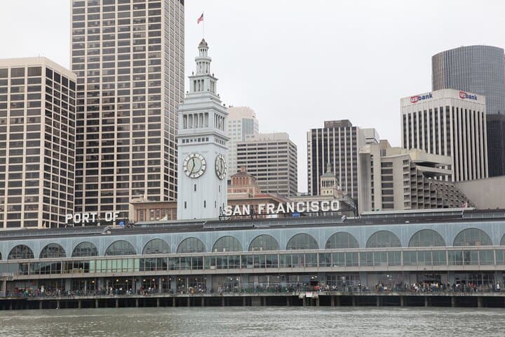
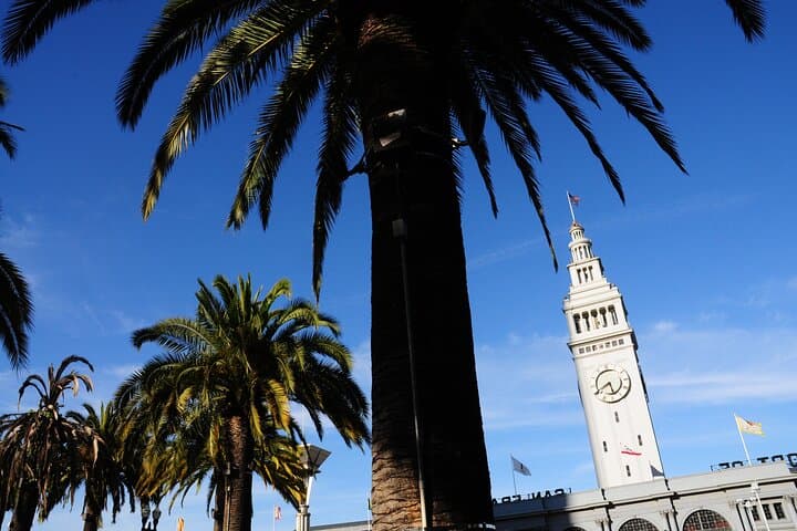
Fog lifts off the bay and the Embarcadero opens like a map under your feet—concrete, pilings, and the iron ribs of old piers pointing toward the Golden Gate. With headphones on, a narrator guides you past Cupid's Span, through the Ferry Building bustle, and out onto Pier 1, explaining how this shoreline was built, lost, and remade over generations.
Verified experiences and guided adventures in the surrounding area.
Operated by VoiceMap Audio Tours · San Francisco, California
Fog lifts off the bay and the Embarcadero opens like a map under your feet—concrete, pilings, and the iron ribs of old piers pointing toward the Golden Gate. With headphones on, a narrator guides you past Cupid's Span, through the Ferry Building bustle, and out onto Pier 1, explaining how this shoreline was built, lost, and remade over generations.
The route traces layers of human engineering: 19th-century landfill pushed into the bay, the Ferry Building's Beaux-Arts façade from 1898, and the highway that once cut the city in two until the 1989 quake changed civic priorities. Geologically, the Embarcadero sits on bay fill and soft sediments that amplify shaking and absorb rising tides—facts that make current planning conversations about sea-level rise immediate and practical.
Culturally the waterfront is both working port and public place: fishermen, vendors, tech commuters, and tourists cross paths while designers and city planners argue about seawalls and living shorelines. The audio tour pairs local voices with on-the-ground stops so you can contextualize visuals with first-person reportage.
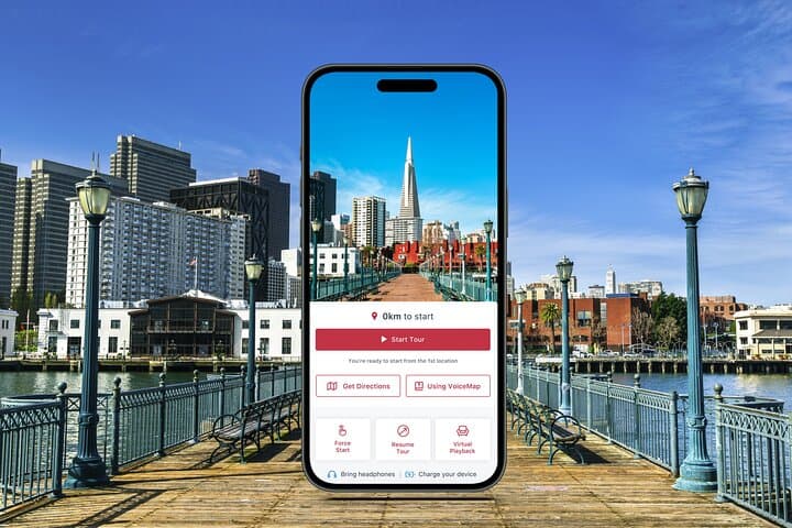
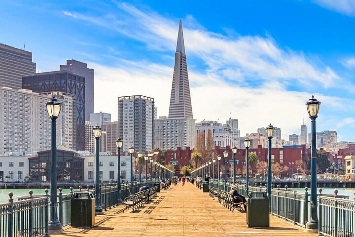
Practicalities: plan 90–120 minutes but allow extra to stop at the Ferry Building market or linger on Pier 7. The tour uses VoiceMap GPS-triggered audio—download before you go, bring headphones, and expect wind and cold on exposed piers. Wear sturdy shoes for uneven boardwalks and leave time to explore transit options back to downtown. This is a pedestrian-friendly, accessible way to learn how a major city is adapting as the bay keeps nudging its edges.
easy.
1.5–2 hours.
Suitable for most fitness levels; expect flat pavement and some boardwalk sections, standing for audio segments.
The tour runs about 90–120 minutes; it's self-guided so you can pause, linger at stops like the Ferry Building, and resume when ready.
No—download the tour in the VoiceMap app ahead of time for offline audio, maps, and GPS triggers.
It starts opposite Cupid's Span on the Embarcadero and finishes just outside the Exploratorium, with clear turn-by-turn prompts in the app.
Much of the Embarcadero is accessible (flat, paved promenades), but some piers have wood decking and gaps—check local access points and use caution on boardwalk segments.
The Embarcadero occupies bay fill and rebuilt waterfronts shaped by the Gold Rush era, the 1906 earthquake, and 20th-century port infrastructure—transformations that still inform planning today.
Sea-level rise and storm surge are active planning issues here; stick to paths, respect sensitive intertidal areas, and support local resilience projects and public-transit access.
VoiceMap Audio Tours operates guided outdoor trips and adventures with an emphasis on safety, stewardship, and memorable experiences.
Fog lifts off the bay and the Embarcadero opens like a map under your feet—concrete, pilings, and the iron ribs of old piers pointing toward the Golden Gate. With headphones on, a narrator guides you past Cupid's Span, through the Ferry Building bustle, and out onto Pier 1, explaining how this shoreline was built, lost, and remade over generations.
Fog lifts off the bay and the Embarcadero opens like a map under your feet—concrete, pilings, and the iron ribs of old piers pointing toward the Golden Gate. With headphones on, a narrator guides you past Cupid's Span, through the Ferry Building bustle, and out onto Pier 1, explaining how this shoreline was built, lost, and remade over generations.
The route traces layers of human engineering: 19th-century landfill pushed into the bay, the Ferry Building's Beaux-Arts façade from 1898, and the highway that once cut the city in two until the 1989 quake changed civic priorities. Geologically, the Embarcadero sits on bay fill and soft sediments that amplify shaking and absorb rising tides—facts that make current planning conversations about sea-level rise immediate and practical.
Culturally the waterfront is both working port and public place: fishermen, vendors, tech commuters, and tourists cross paths while designers and city planners argue about seawalls and living shorelines. The audio tour pairs local voices with on-the-ground stops so you can contextualize visuals with first-person reportage.
Practicalities: plan 90–120 minutes but allow extra to stop at the Ferry Building market or linger on Pier 7. The tour uses VoiceMap GPS-triggered audio—download before you go, bring headphones, and expect wind and cold on exposed piers. Wear sturdy shoes for uneven boardwalks and leave time to explore transit options back to downtown. This is a pedestrian-friendly, accessible way to learn how a major city is adapting as the bay keeps nudging its edges.