THE ADVENTURE COLLECTIVE® · Independent discovery and booking for outdoor travel

Descend 16 km through Europe's longest gorge from the Omalos high plain to Agia Roumeli. This one-way Samaria route pairs dramatic limestone canyons, endemic wildlife, and a post-hike boat to Chora Sfakion.
Descend 16 km through Europe's longest gorge from the Omalos high plain to Agia Roumeli. This one-way Samaria route pairs dramatic limestone canyons, endemic wildlife, and a post-hike boat to Chora Sfakion.
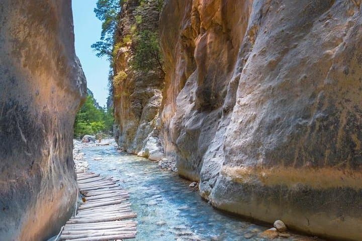
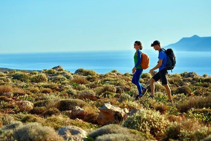
The path drops away beneath your boots and the White Mountains press in: limestone cliffs, crumbling scree, and a river that dares you to keep pace. Starting at Xyloskalo on the Omalos Plateau (about 1,100–1,235 m), the Samaria hike runs 16 km down through narrow limestone walls to the little port of Agia Roumeli on the Libyan Sea.
Verified experiences and guided adventures in the surrounding area.
Operated by MTM Experiences · Omalos, Crete
The path drops away beneath your boots and the White Mountains press in: limestone cliffs, crumbling scree, and a river that dares you to keep pace. Starting at Xyloskalo on the Omalos Plateau (about 1,100–1,235 m), the Samaria hike runs 16 km down through narrow limestone walls to the little port of Agia Roumeli on the Libyan Sea.
Geology and history are visible at every turn. The gorge was carved by millennia of water and uplift, exposing strata that tilt toward the sea. The area became Samaria National Park in the 20th century to protect endemic plants and the kri-kri, the wild Cretan goat. Villages like Samariá and Agia Roumeli speak to a hardy mountain life still linked to shepherding and coastal ferries.
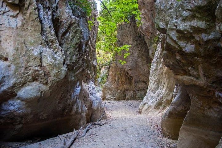
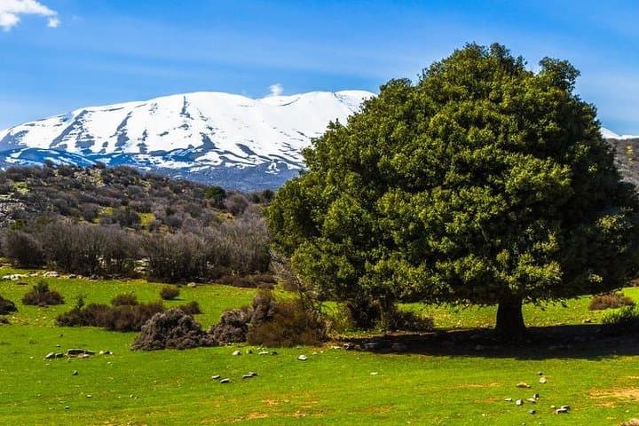
Expect a long descent with sections as wide as 150 m and as narrow as 3 m at the Iron Gates — a dramatic squeeze of rock where the trail feels almost river-bound. Trails are mainly rocky and uneven; spring brings clear drinking springs, summer brings heat and little shade, and winter can leave snow on Omalos.
Practical guidance: allow at least 5–7 hours for the walk, wear supportive hiking shoes, carry 2–3 liters of water, sun protection, and a basic first-aid kit. Guides provide maps and timing advice; a late-afternoon boat from Agia Roumeli to Chora Sfakion completes the route. Follow park rules — no camping, no fires, and stay on the marked path — to protect this rare landscape and ensure a safe, unforgettable descent.
challenging.
8–14 hours (including transfers and boat).
Good cardiovascular fitness and strong lower-body endurance; comfortable walking on uneven terrain for 5–7 hours.
The walking portion typically takes 5–7 hours; overall tour time including transfers and boat is around 8–14 hours depending on pickup and return locations.
There are natural springs along the trail where locals often drink, but flow varies—carry sufficient water and a small filter or purification tablets if you plan to use spring sources.
The route is strenuous and with uneven terrain; it is not recommended for very young children, the elderly with mobility issues, or anyone with serious cardiovascular problems.
Operators may cancel or alter departures in poor weather. Check with your provider; the park enforces safety rules and closures when conditions are hazardous.
Samaria has long been a refuge for isolated communities and wildlife; the area was protected in the 20th century to conserve its endemic flora and fauna.
The national park enforces strict rules—no camping, no fires, and no plant removal—to protect sensitive habitats; stick to trails and carry out waste.
MTM Experiences operates guided outdoor trips and adventures with an emphasis on safety, stewardship, and memorable experiences.
The path drops away beneath your boots and the White Mountains press in: limestone cliffs, crumbling scree, and a river that dares you to keep pace. Starting at Xyloskalo on the Omalos Plateau (about 1,100–1,235 m), the Samaria hike runs 16 km down through narrow limestone walls to the little port of Agia Roumeli on the Libyan Sea.
The path drops away beneath your boots and the White Mountains press in: limestone cliffs, crumbling scree, and a river that dares you to keep pace. Starting at Xyloskalo on the Omalos Plateau (about 1,100–1,235 m), the Samaria hike runs 16 km down through narrow limestone walls to the little port of Agia Roumeli on the Libyan Sea.
Geology and history are visible at every turn. The gorge was carved by millennia of water and uplift, exposing strata that tilt toward the sea. The area became Samaria National Park in the 20th century to protect endemic plants and the kri-kri, the wild Cretan goat. Villages like Samariá and Agia Roumeli speak to a hardy mountain life still linked to shepherding and coastal ferries.
Expect a long descent with sections as wide as 150 m and as narrow as 3 m at the Iron Gates — a dramatic squeeze of rock where the trail feels almost river-bound. Trails are mainly rocky and uneven; spring brings clear drinking springs, summer brings heat and little shade, and winter can leave snow on Omalos.
Practical guidance: allow at least 5–7 hours for the walk, wear supportive hiking shoes, carry 2–3 liters of water, sun protection, and a basic first-aid kit. Guides provide maps and timing advice; a late-afternoon boat from Agia Roumeli to Chora Sfakion completes the route. Follow park rules — no camping, no fires, and stay on the marked path — to protect this rare landscape and ensure a safe, unforgettable descent.