THE ADVENTURE COLLECTIVE® · Independent discovery and booking for outdoor travel

Descend from the windswept Omalos plateau through 16 km of limestone cliffs, pine shade and narrow passages to Agia Roumeli’s beach. This guided hike combines deep geology, local history and island ecology with a ferry exit to the Libyan Sea.
Descend from the windswept Omalos plateau through 16 km of limestone cliffs, pine shade and narrow passages to Agia Roumeli’s beach. This guided hike combines deep geology, local history and island ecology with a ferry exit to the Libyan Sea.
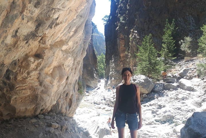
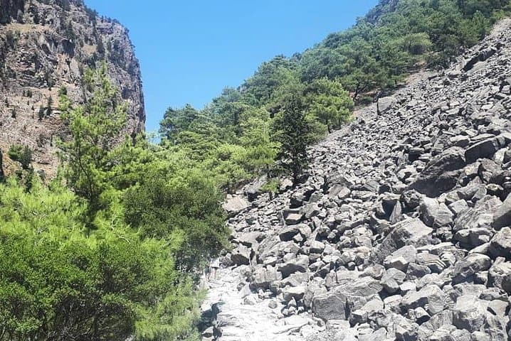
A walk begins on the wind-burnished Omalos plateau at 1,280 m, where stone shepherd huts and low alpine meadows give way to a narrow cut in white rock. The trail drops steadily; the pines and cypresses close in, a stream dares you to keep pace, and the gorge pulls visitors toward the Aegean where Agia Roumeli’s pebbled shore waits.
Verified experiences and guided adventures in the surrounding area.
Operated by Pari Vigli · Omalos, Chania
A walk begins on the wind-burnished Omalos plateau at 1,280 m, where stone shepherd huts and low alpine meadows give way to a narrow cut in white rock. The trail drops steadily; the pines and cypresses close in, a stream dares you to keep pace, and the gorge pulls visitors toward the Aegean where Agia Roumeli’s pebbled shore waits.
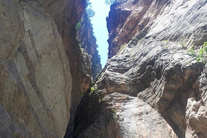
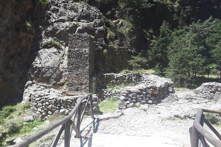
Samaria is a geological incision through Crete’s White Mountains—limestone carved by water and time. The route follows old shepherd tracks and past an abandoned mountain village called Samaria, once inhabited until mid‑20th century changes and park protections shifted local life. Botanical pockets of Greek endemic species and the elusive kri‑kri (Cretan wild goat) make the gorge a living classroom of island ecology and rural tradition.
Practically: the hike is ~16 km point‑to‑point, descending roughly 1,280 m to sea level. Expect the first 4 km to be steep and forested, with intermittent stream crossings; by km 7 you reach the old village and later the Iron Gates where cliffs squeeze to about 3 m. Trails are rocky and can be slippery after rain. Finish with a swim at Agia Roumeli and a ferry (check seasonal timetables) to Sougia or Hora Sfakion for the bus back to Omalos or Chania. Start early, carry 2–3 liters of water, use sturdy footwear and trekking poles, and leave no trace—Samaria is a protected national park with strict rules to preserve its plants, animals and trails.
challenging.
6–8 hours (hike only); full day including transfers 9–14 hours.
Good aerobic fitness with strong knees; comfortable walking 16 km on uneven terrain and steady descents.
The full trail is 16 km with a continuous overall descent of ~1,280 m; it’s physically demanding mainly due to distance and uneven footing rather than technical climbing.
The trail ends at Agia Roumeli on the coast; ferries run seasonally to Sougia or Hora Sfakion where buses connect to Omalos or Chania—always confirm schedules in advance.
Local guides typically know the gorge’s history, plants and safe route choices; this particular service is led by a guide raised near the gorge who emphasizes local tradition and ecology.
Basic facilities exist at Agios Nikolaos (~4 km) and at the abandoned village area (~7 km); bring food, water and toilet paper as services are limited.
The gorge cuts through the White Mountains and the valley contains the ruins of a small village abandoned in the mid‑20th century as national park protections changed local land use.
Samaria is a protected national park; visitors must stay on trails, carry out all waste, and avoid feeding wildlife to protect fragile endemic species.
Pari Vigli operates guided outdoor trips and adventures with an emphasis on safety, stewardship, and memorable experiences.
A walk begins on the wind-burnished Omalos plateau at 1,280 m, where stone shepherd huts and low alpine meadows give way to a narrow cut in white rock. The trail drops steadily; the pines and cypresses close in, a stream dares you to keep pace, and the gorge pulls visitors toward the Aegean where Agia Roumeli’s pebbled shore waits.
A walk begins on the wind-burnished Omalos plateau at 1,280 m, where stone shepherd huts and low alpine meadows give way to a narrow cut in white rock. The trail drops steadily; the pines and cypresses close in, a stream dares you to keep pace, and the gorge pulls visitors toward the Aegean where Agia Roumeli’s pebbled shore waits.
Samaria is a geological incision through Crete’s White Mountains—limestone carved by water and time. The route follows old shepherd tracks and past an abandoned mountain village called Samaria, once inhabited until mid‑20th century changes and park protections shifted local life. Botanical pockets of Greek endemic species and the elusive kri‑kri (Cretan wild goat) make the gorge a living classroom of island ecology and rural tradition.
Practically: the hike is ~16 km point‑to‑point, descending roughly 1,280 m to sea level. Expect the first 4 km to be steep and forested, with intermittent stream crossings; by km 7 you reach the old village and later the Iron Gates where cliffs squeeze to about 3 m. Trails are rocky and can be slippery after rain. Finish with a swim at Agia Roumeli and a ferry (check seasonal timetables) to Sougia or Hora Sfakion for the bus back to Omalos or Chania. Start early, carry 2–3 liters of water, use sturdy footwear and trekking poles, and leave no trace—Samaria is a protected national park with strict rules to preserve its plants, animals and trails.