THE ADVENTURE COLLECTIVE® · Independent discovery and booking for outdoor travel

Ride the Teleferico from Quito to the high páramo, then hike to Rucu Pichincha’s summit for sweeping Andean views. This private, guide-led day trip packs geology, altitude challenge and urban-to-alpine scenery into one accessible excursion.
Ride the Teleferico from Quito to the high páramo, then hike to Rucu Pichincha’s summit for sweeping Andean views. This private, guide-led day trip packs geology, altitude challenge and urban-to-alpine scenery into one accessible excursion.
Morning light cuts across Quito as the Teleferico lifts you from 2,950 m to the high viewpoint near 4,050 m in 15 brisk minutes. The city falls away beneath you; the gondola deposits hikers at a wind-buffed platform where the trailhead begins. You step from engineered cable to the raw, open paramo — grass and cushion plants that shrug off the thin air and daring wind.
Verified experiences and guided adventures in the surrounding area.
Operated by Guide Ecuador Travel · Quito, Pichincha
Morning light cuts across Quito as the Teleferico lifts you from 2,950 m to the high viewpoint near 4,050 m in 15 brisk minutes. The city falls away beneath you; the gondola deposits hikers at a wind-buffed platform where the trailhead begins. You step from engineered cable to the raw, open paramo — grass and cushion plants that shrug off the thin air and daring wind.
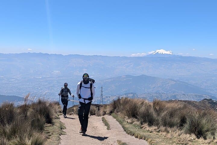
Rucu Pichincha is an eroded volcanic dome on the western edge of the Ecuadorian Andes. Trails climb moraine and pumice, passing the high-altitude páramo that shaped local grazing and water-catchment practices for centuries. Indigenous and colonial histories linger in the valley below, while the ridgeline frames views of Cotopaxi, Cayambe and Antisana on clear days.
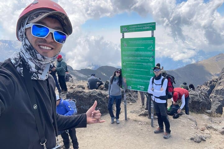
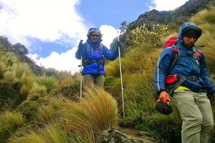
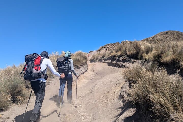
Expect 600–700 m of ascent from the Teleferico plateau to the summit around ~4,700 m, mostly on rocky, steep paths that take 2–3 hours up and a faster descent. The guide-led route moves steadily through tussock, peat, and loose volcanic scree; weather can switch from sun to sleet within an hour, so timing your summit push mid-morning reduces exposure to afternoon storms.
Practical guidance: hydrate and eat before the climb, carry layers for wind and cold, and use trekking poles for balance on steep talus. Allow time to acclimatize in Quito (2,800–2,900 m) before pushing above 4,000 m. With a certified guide and private transport, this is a compact, high-altitude day that delivers dramatic panoramas and a clear sense of Andean geology and weather in a single, memorable outing.
challenging.
6–7 hours.
Requires high-altitude aerobic fitness, good leg strength, and experience with sustained uphill hiking
Allow about 2–3 hours to ascend from the Teleferico viewpoint and roughly 1.5–2 hours to descend, depending on pace and conditions.
Possibly—symptoms vary; spending time in Quito beforehand, moving slowly, staying hydrated, and communicating with your guide reduce risk.
Yes—this private tour uses the Teleferico to gain elevation quickly; ticket and private transport are included per the tour description.
This is a challenging day hike at high altitude requiring good cardiovascular fitness and prior hiking experience; not recommended for those with heart or severe medical issues.
Pichincha’s flanks have long been part of indigenous grazing territories and later strategic viewpoints during colonial and republican eras in Ecuador.
The páramo is an important water source for Quito; stay on trails to prevent erosion and avoid disturbing fragile cushion plants and peat soils.
Guide Ecuador Travel operates guided outdoor trips and adventures with an emphasis on safety, stewardship, and memorable experiences.
Morning light cuts across Quito as the Teleferico lifts you from 2,950 m to the high viewpoint near 4,050 m in 15 brisk minutes. The city falls away beneath you; the gondola deposits hikers at a wind-buffed platform where the trailhead begins. You step from engineered cable to the raw, open paramo — grass and cushion plants that shrug off the thin air and daring wind.
Morning light cuts across Quito as the Teleferico lifts you from 2,950 m to the high viewpoint near 4,050 m in 15 brisk minutes. The city falls away beneath you; the gondola deposits hikers at a wind-buffed platform where the trailhead begins. You step from engineered cable to the raw, open paramo — grass and cushion plants that shrug off the thin air and daring wind.
Rucu Pichincha is an eroded volcanic dome on the western edge of the Ecuadorian Andes. Trails climb moraine and pumice, passing the high-altitude páramo that shaped local grazing and water-catchment practices for centuries. Indigenous and colonial histories linger in the valley below, while the ridgeline frames views of Cotopaxi, Cayambe and Antisana on clear days.
Expect 600–700 m of ascent from the Teleferico plateau to the summit around ~4,700 m, mostly on rocky, steep paths that take 2–3 hours up and a faster descent. The guide-led route moves steadily through tussock, peat, and loose volcanic scree; weather can switch from sun to sleet within an hour, so timing your summit push mid-morning reduces exposure to afternoon storms.
Practical guidance: hydrate and eat before the climb, carry layers for wind and cold, and use trekking poles for balance on steep talus. Allow time to acclimatize in Quito (2,800–2,900 m) before pushing above 4,000 m. With a certified guide and private transport, this is a compact, high-altitude day that delivers dramatic panoramas and a clear sense of Andean geology and weather in a single, memorable outing.