THE ADVENTURE COLLECTIVE® · Independent discovery and booking for outdoor travel

Walk to Sukulanrakka 25 km from Rovaniemi to see 14 dramatic potholes carved by meltwater at the end of the last ice age. Learn the geology behind the largest churns—up to 15 m deep—and practical tips for visiting safely.
Walk to Sukulanrakka 25 km from Rovaniemi to see 14 dramatic potholes carved by meltwater at the end of the last ice age. Learn the geology behind the largest churns—up to 15 m deep—and practical tips for visiting safely.
You step out of the van onto cold, granitic bedrock and the wind from the nearby river seems intent on testing your pack. The ground drops away into a collection of circular hollows—fourteen devil’s churns—each a mute, bowl-shaped record of water running hard and fast at the end of the last ice age.
Verified experiences and guided adventures in the surrounding area.
Operated by Helios tour · Rovaniemi, Lapland
You step out of the van onto cold, granitic bedrock and the wind from the nearby river seems intent on testing your pack. The ground drops away into a collection of circular hollows—fourteen devil’s churns—each a mute, bowl-shaped record of water running hard and fast at the end of the last ice age.
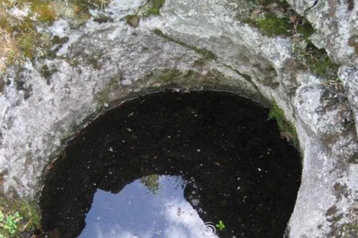
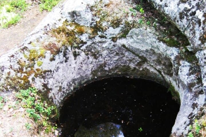
Sukulanrakka, about 25 km from Rovaniemi, preserves potholes formed roughly 10,000 years ago when meltwater torrents carved tunnels beneath the retreating ice. The largest pothole here measures 8 meters across and plunges 15 meters deep; two others reach 9 and 10 meters in depth. These are not carved art but honest geological labor—eddies, stones and pressure drilling into the bedrock until the hollows we see today were punched out.
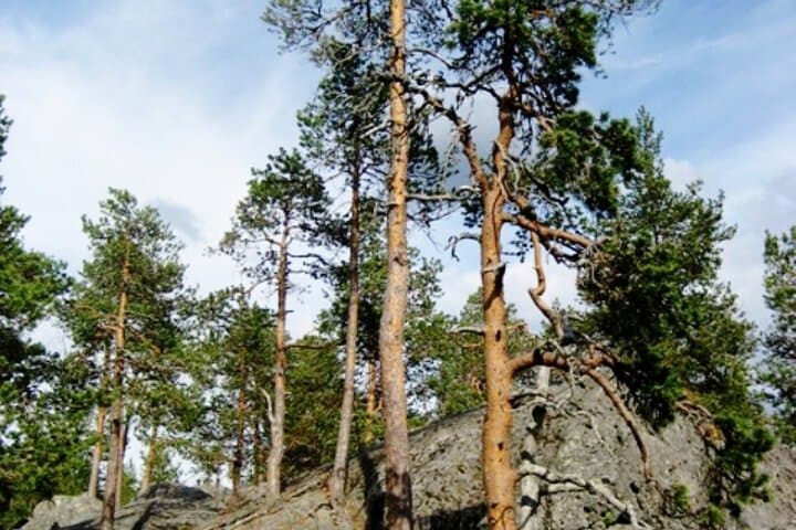
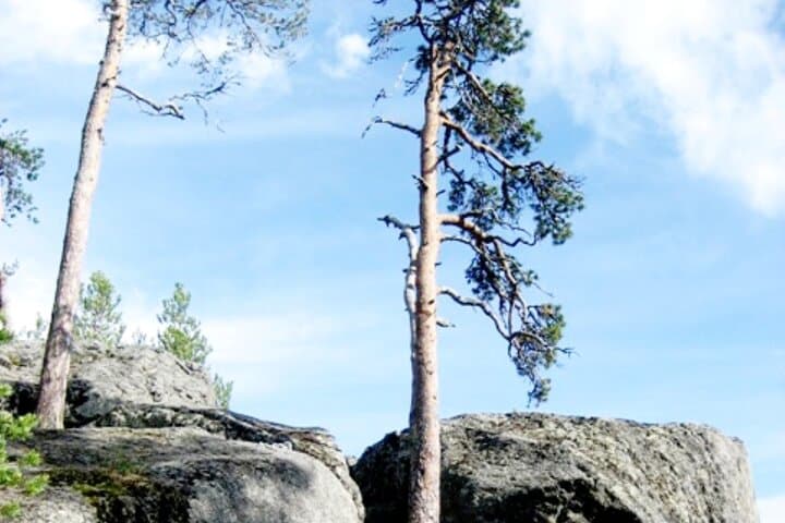
Local Sámi history and Lappish farmers recognized these hollows as remarkable landmarks; their scale guided travel and grazing in centuries past. The volcanic-gray rock and scattered erratics around the churns tell a story of glacial mechanics as clearly as any interpretive sign.
Practical: expect uneven, rocky footing and short cross-country walking to viewpoints—most visits fit into a 2–3 hour excursion including transport from Rovaniemi. Wear sturdy hiking shoes, windproof layers, and bring water; slopes can be slippery when wet or icy. Photography is best in the low-angle light of morning or late afternoon when shadows define the bowls. Respect safety barriers and avoid the rims of deep potholes—the edges can be undercut.
Come for the rawness of a landscape still being read by geologists and hikers alike—nature daring you to look closely.
easy.
2–3 hours.
Light walking fitness; able to manage short uneven terrain and low scrambles.
Sukulanrakka is about 25 km from central Rovaniemi; typical tours include round-trip transport and a 2–3 hour visit.
There are no formal railings at every hollow—stay on marked paths and avoid standing on the immediate rim of deep churns due to undercutting.
The site is generally suitable for most ages, but unstable edges and uneven ground mean close supervision for children and caution for anyone with mobility issues.
Late spring through early autumn offers easier access; winter visits are possible but require winter footwear and local guidance due to ice and snow.
The churns formed as meltwater carved subglacial tunnels during the retreat of the continental ice sheet about 10,000 years ago; local Sámi and Lappish residents long noted them as landscape markers.
Stick to existing paths to protect fragile lichen and moss on the rock; avoid throwing objects into the potholes and carry out all trash to preserve the geological site.
Helios tour operates guided outdoor trips and adventures with an emphasis on safety, stewardship, and memorable experiences.
You step out of the van onto cold, granitic bedrock and the wind from the nearby river seems intent on testing your pack. The ground drops away into a collection of circular hollows—fourteen devil’s churns—each a mute, bowl-shaped record of water running hard and fast at the end of the last ice age.
You step out of the van onto cold, granitic bedrock and the wind from the nearby river seems intent on testing your pack. The ground drops away into a collection of circular hollows—fourteen devil’s churns—each a mute, bowl-shaped record of water running hard and fast at the end of the last ice age.
Sukulanrakka, about 25 km from Rovaniemi, preserves potholes formed roughly 10,000 years ago when meltwater torrents carved tunnels beneath the retreating ice. The largest pothole here measures 8 meters across and plunges 15 meters deep; two others reach 9 and 10 meters in depth. These are not carved art but honest geological labor—eddies, stones and pressure drilling into the bedrock until the hollows we see today were punched out.
Local Sámi history and Lappish farmers recognized these hollows as remarkable landmarks; their scale guided travel and grazing in centuries past. The volcanic-gray rock and scattered erratics around the churns tell a story of glacial mechanics as clearly as any interpretive sign.
Practical: expect uneven, rocky footing and short cross-country walking to viewpoints—most visits fit into a 2–3 hour excursion including transport from Rovaniemi. Wear sturdy hiking shoes, windproof layers, and bring water; slopes can be slippery when wet or icy. Photography is best in the low-angle light of morning or late afternoon when shadows define the bowls. Respect safety barriers and avoid the rims of deep potholes—the edges can be undercut.
Come for the rawness of a landscape still being read by geologists and hikers alike—nature daring you to look closely.