THE ADVENTURE COLLECTIVE® · Independent discovery and booking for outdoor travel

A full-day guided hike from Zurich to the summit of Rophaien delivers sweeping views over Lake Lucerne and the Uri Alps. Expect steep climbs, ridgelines, alpine meadows, and a true mountain-day experience with roughly 1,600 m of ascent.
A full-day guided hike from Zurich to the summit of Rophaien delivers sweeping views over Lake Lucerne and the Uri Alps. Expect steep climbs, ridgelines, alpine meadows, and a true mountain-day experience with roughly 1,600 m of ascent.
The trail begins in the hush of a lakeside morning, the road to Sisikon unwinding beneath steep cliffs. From the village the path climbs quickly into mountain forest; spruce and beech thin out into alpine meadows, and a narrow ridge opens onto a broad panorama where Lake Lucerne sits like a folded sheet of glass below. The summit of Rophaien (2,078 m) rewards a steady effort with views across the Uri and Glarus Alps — on clear days the horizon stretches deep into central Switzerland.
Verified experiences and guided adventures in the surrounding area.
Operated by Trekking Switzerland · Sisikon, Uri
The trail begins in the hush of a lakeside morning, the road to Sisikon unwinding beneath steep cliffs. From the village the path climbs quickly into mountain forest; spruce and beech thin out into alpine meadows, and a narrow ridge opens onto a broad panorama where Lake Lucerne sits like a folded sheet of glass below. The summit of Rophaien (2,078 m) rewards a steady effort with views across the Uri and Glarus Alps — on clear days the horizon stretches deep into central Switzerland.
Geologically the Uri Alps are compact, glacially carved limestone and crystalline foundations that lift abruptly from the lake. Culturally, villages around Lake Lucerne have long served as alpine gateways; shepherding and mountain huts remain visible markers of that history. Huts along the route offer place and pause more than services — this is real alpine terrain, not a resort walk.
Expect steep switchbacks, rocky ridgewalking, and open meadows scattered with summer wildflowers. Typical guided day trips cover roughly 10–14 km round-trip with about 1,600 m of elevation gain, completed in a full-day outing (the operator’s itinerary runs about 11 hours including transfers). Timing is everything: start early to avoid afternoon convection and to have the summit to yourself.
Practicalities: bring layered windproof clothing, sturdy boots, 1.5–2 L water, snacks, and a compact first-aid kit. Use public transport or the operator’s coach to reach Sisikon; phone signal may be intermittent above tree line. This hike suits anyone with solid stair-climbing fitness and experience on steep, exposed trails.
moderate.
11 hours (including transfers).
Good aerobic fitness—regular hikers or people comfortable with sustained climbs and stair-like uphill sections.
It’s a sustained ascent with steep sections—moderate difficulty for experienced hikers, roughly 1,600 m of elevation gain and 10–14 km round-trip on uneven terrain.
Yes; the organized day trip includes coach or public transport transfers and is planned as a full day (about 11 hours total including travel time).
Not ideal for very young children or people with limited mobility—trail exposure and sustained climbing require good fitness and sure-footedness.
A guide is recommended if unfamiliar with local conditions or reliant on public transport timing; the route is marked but weather can make navigation harder above tree line.
The Uri Alps have long been a corridor between northern and southern Switzerland; pastoral use and historic mountain passes shaped settlements like Sisikon.
Stick to marked paths to protect fragile alpine meadows and avoid trampling high-elevation wildflowers; local guides promote Leave No Trace practices.
Trekking Switzerland operates guided outdoor trips and adventures with an emphasis on safety, stewardship, and memorable experiences.
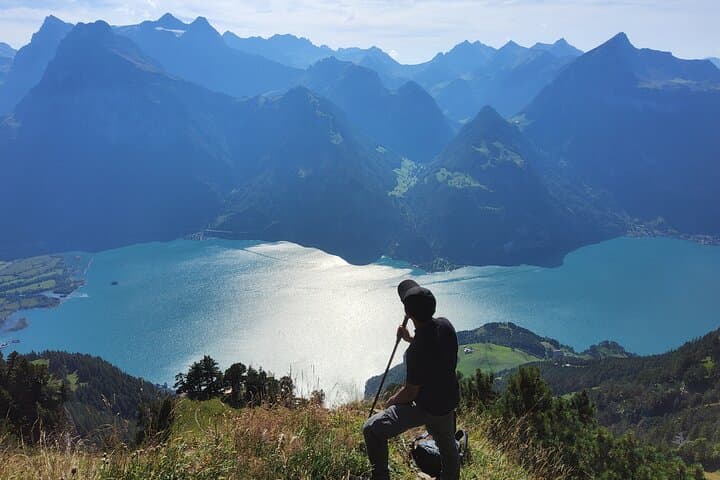
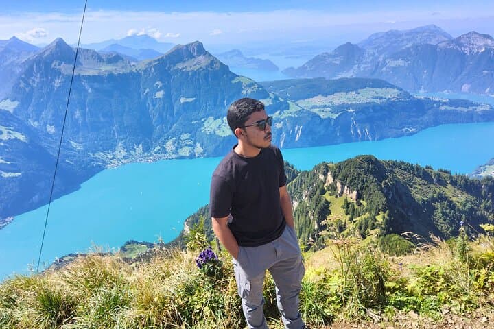
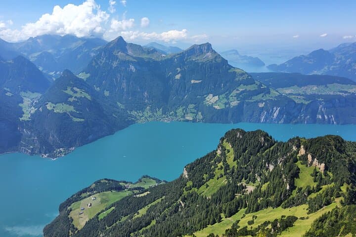
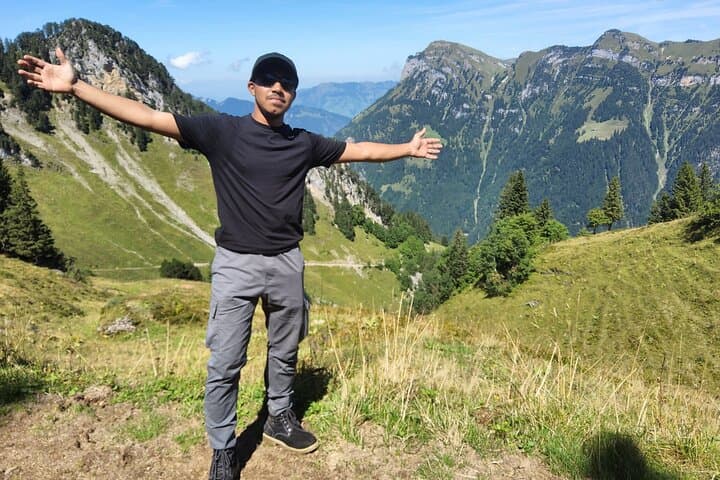
The trail begins in the hush of a lakeside morning, the road to Sisikon unwinding beneath steep cliffs. From the village the path climbs quickly into mountain forest; spruce and beech thin out into alpine meadows, and a narrow ridge opens onto a broad panorama where Lake Lucerne sits like a folded sheet of glass below. The summit of Rophaien (2,078 m) rewards a steady effort with views across the Uri and Glarus Alps — on clear days the horizon stretches deep into central Switzerland.
The trail begins in the hush of a lakeside morning, the road to Sisikon unwinding beneath steep cliffs. From the village the path climbs quickly into mountain forest; spruce and beech thin out into alpine meadows, and a narrow ridge opens onto a broad panorama where Lake Lucerne sits like a folded sheet of glass below. The summit of Rophaien (2,078 m) rewards a steady effort with views across the Uri and Glarus Alps — on clear days the horizon stretches deep into central Switzerland.
Geologically the Uri Alps are compact, glacially carved limestone and crystalline foundations that lift abruptly from the lake. Culturally, villages around Lake Lucerne have long served as alpine gateways; shepherding and mountain huts remain visible markers of that history. Huts along the route offer place and pause more than services — this is real alpine terrain, not a resort walk.
Expect steep switchbacks, rocky ridgewalking, and open meadows scattered with summer wildflowers. Typical guided day trips cover roughly 10–14 km round-trip with about 1,600 m of elevation gain, completed in a full-day outing (the operator’s itinerary runs about 11 hours including transfers). Timing is everything: start early to avoid afternoon convection and to have the summit to yourself.
Practicalities: bring layered windproof clothing, sturdy boots, 1.5–2 L water, snacks, and a compact first-aid kit. Use public transport or the operator’s coach to reach Sisikon; phone signal may be intermittent above tree line. This hike suits anyone with solid stair-climbing fitness and experience on steep, exposed trails.