THE ADVENTURE COLLECTIVE® · Independent discovery and booking for outdoor travel

A three-day loop from Tangier through Assilah, Tetouan and the blue alleys of Chefchaouen that pairs coastal views with Rif mountain villages. Expect cobbled medinas, winding mountain roads and short guided walks between cultural highlights.
A three-day loop from Tangier through Assilah, Tetouan and the blue alleys of Chefchaouen that pairs coastal views with Rif mountain villages. Expect cobbled medinas, winding mountain roads and short guided walks between cultural highlights.
You step off a ferry into Tangier and the air tastes of sea salt and mint tea; the city’s busy corniche fades behind you as the minivan curls along the coastal road toward Assilah.
Verified experiences and guided adventures in the surrounding area.
Operated by Xauen Tours · Tangier, Tanger-Tetouan-Al Hoceima
You step off a ferry into Tangier and the air tastes of sea salt and mint tea; the city’s busy corniche fades behind you as the minivan curls along the coastal road toward Assilah.
Over three days the Rif mountains pull the itinerary inland: whitewashed ramparts and painted alleys in Assilah, Tetouan’s Andalusian-influenced medina with its flat-roofed artisans’ quarter, then the rise to Chefchaouen’s blue-washed lanes perched at about 564 m above sea level. Geologically the Rif is an uplifted belt of folded limestone and marl; roads climb narrow valleys and drop to coastal plains, so the scenery alternates between scrubby slopes and sudden river-fed springs.
This route threads Berber and Andalusi cultural layers—ornamental plasterwork, souks of preserved foods and handicrafts, and fortress walls that reflect centuries of Mediterranean exchange. Local guides explain how olive terraces and small-scale grazing shaped settlement patterns here.
Practical guidance: expect 1–2 hours of walking each stop on cobbles and short climbs; distances between towns are modest (Tangier→Assilah ≈45 km, Tangier→Tetouan ≈60 km, Tetouan→Chefchaouen ≈65 km) but roads are winding. Bring sturdy walking shoes, sun protection, a light rain layer for mountain squalls and cash for small shops. Mornings are best for clear views; afternoons can turn hazy or show brief mountain showers. Accommodations change nightly (Tangier, Tetouan, Chefchaouen) and light breakfasts are typically included. Be ready for narrow alleys, friendly bargaining in medinas, and quiet village roads where water and shade are limited—carry a refillable bottle and plan breaks.
easy.
3 days.
Suitable for most travelers; requires light walking and negotiating cobbles and short inclines
Yes—hotel pickup and drop-off are listed as included for designated pickup points in Tangier.
Walks are short and gentle (1–2 hours at stops) on cobbles and village trails; overall the tour is suitable for most fitness levels.
Local guides commonly speak English, French and Spanish; specific guide languages can be confirmed at booking.
Breakfast is included on most days; other meals are typically at your own expense unless specified in the operator details.
Northern Morocco blends Rif Berber traditions with centuries of Andalusian influence after the 15th-century expulsions, visible in Tetouan’s medina and local crafts.
The Rif is sensitive to erosion and water scarcity—stick to marked roads, avoid single-use plastics and support local guesthouses to keep tourism benefits local.
Xauen Tours operates guided outdoor trips and adventures with an emphasis on safety, stewardship, and memorable experiences.
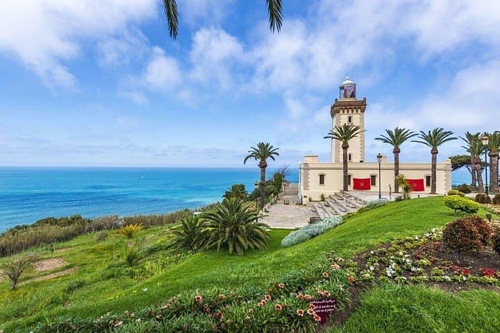
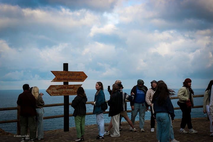
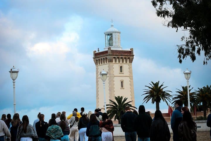
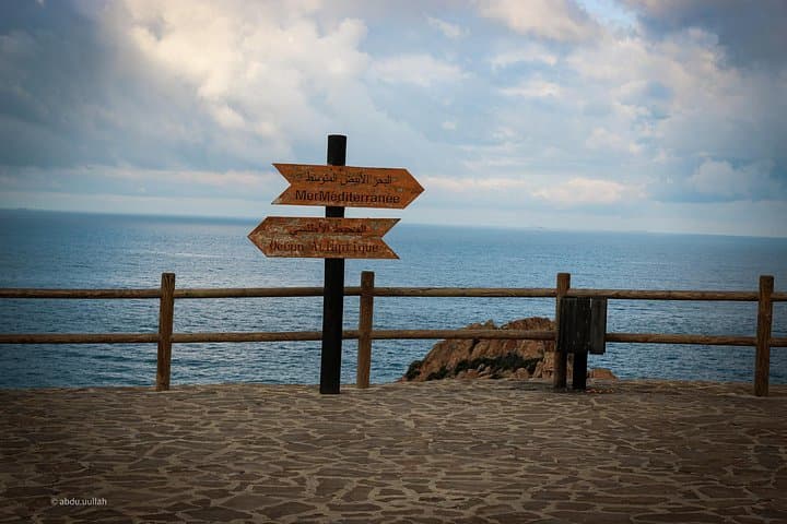
You step off a ferry into Tangier and the air tastes of sea salt and mint tea; the city’s busy corniche fades behind you as the minivan curls along the coastal road toward Assilah.
You step off a ferry into Tangier and the air tastes of sea salt and mint tea; the city’s busy corniche fades behind you as the minivan curls along the coastal road toward Assilah.
Over three days the Rif mountains pull the itinerary inland: whitewashed ramparts and painted alleys in Assilah, Tetouan’s Andalusian-influenced medina with its flat-roofed artisans’ quarter, then the rise to Chefchaouen’s blue-washed lanes perched at about 564 m above sea level. Geologically the Rif is an uplifted belt of folded limestone and marl; roads climb narrow valleys and drop to coastal plains, so the scenery alternates between scrubby slopes and sudden river-fed springs.
This route threads Berber and Andalusi cultural layers—ornamental plasterwork, souks of preserved foods and handicrafts, and fortress walls that reflect centuries of Mediterranean exchange. Local guides explain how olive terraces and small-scale grazing shaped settlement patterns here.
Practical guidance: expect 1–2 hours of walking each stop on cobbles and short climbs; distances between towns are modest (Tangier→Assilah ≈45 km, Tangier→Tetouan ≈60 km, Tetouan→Chefchaouen ≈65 km) but roads are winding. Bring sturdy walking shoes, sun protection, a light rain layer for mountain squalls and cash for small shops. Mornings are best for clear views; afternoons can turn hazy or show brief mountain showers. Accommodations change nightly (Tangier, Tetouan, Chefchaouen) and light breakfasts are typically included. Be ready for narrow alleys, friendly bargaining in medinas, and quiet village roads where water and shade are limited—carry a refillable bottle and plan breaks.