THE ADVENTURE COLLECTIVE® · Independent discovery and booking for outdoor travel

Head into the rugged Rhinogydd for a guided day of steep ascents, rocky scrambles and panoramic summits. This small-group outing visits Rhinog Fawr and Rhinog Fach, with lake stops and classic Snowdonia geology.
Head into the rugged Rhinogydd for a guided day of steep ascents, rocky scrambles and panoramic summits. This small-group outing visits Rhinog Fawr and Rhinog Fach, with lake stops and classic Snowdonia geology.
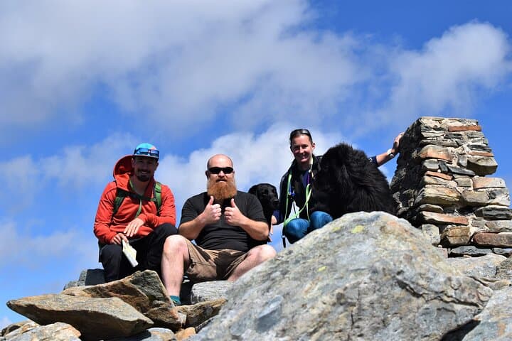
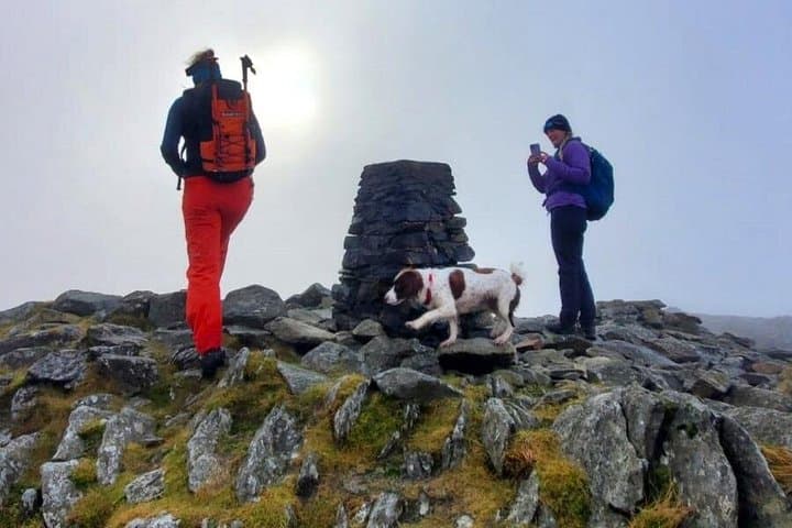
A cold wind cuts across an open ridge as you push toward a rocky crest—the Rhinogs don’t offer a gentle approach. The day begins near Bronaber with peat-hummed valleys and steep, raw slopes that demand steady footwork. Scree slopes crunch underfoot; tors and gritstone scramble into view. The air smells of wet stone and heather, and the mountains feel like they have a will of their own, nudging you toward the next narrow notch.
Verified experiences and guided adventures in the surrounding area.
Operated by Wild Wales · Bronaber, Gwynedd
A cold wind cuts across an open ridge as you push toward a rocky crest—the Rhinogs don’t offer a gentle approach. The day begins near Bronaber with peat-hummed valleys and steep, raw slopes that demand steady footwork. Scree slopes crunch underfoot; tors and gritstone scramble into view. The air smells of wet stone and heather, and the mountains feel like they have a will of their own, nudging you toward the next narrow notch.
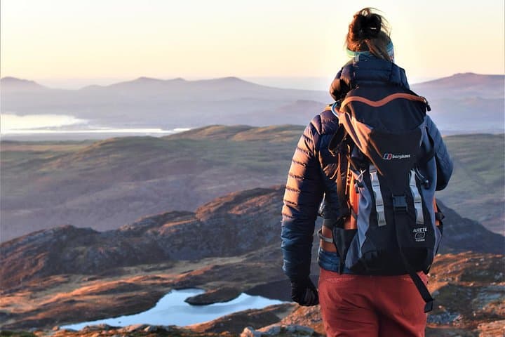
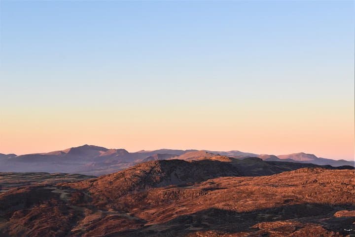
These hills are older than the surrounding peaks—hard Cambrian and Ordovician rocks folded and scoured by glaciers, leaving rugged ridgelines and hidden tarns. Local culture here is small-farm Welsh: place names mark centuries of droving and sheep farming. Historic passes like Bwlch Drws Ardudwy have been used for generations, and Llyn Hywel sits like a quiet mirror below the crags.
Expect a full day of ascent to Rhinog Fawr (c. 720m) and Rhinog Fach (c. 712m), steeper gullies that require basic scrambling and route-finding over blocky, sometimes boggy ground. There are opportunities to cool off at mountain lakes and watch ravens or red grouse ride thermals.
Practical bits: this is a guided outing for fit hikers; pack waterproof layers, sturdy boots with good grip, map and compass (or GPS), and at least 2–3L water. Start early—light and visibility make route-finding easier—and be prepared for sudden weather changes. The guide will choose the safest line, but personal preparedness speeds the day and keeps the rhythm steady as you move through this quieter corner of Snowdonia.
challenging.
6–7 hours.
Good aerobic fitness; comfortable on steep, uneven terrain and short exposed scrambles.
The scrambling is short and grade I/II in places—hands-on rock but not technical climbing; a head for exposure and steady feet help.
Older, experienced teenagers with good fitness may manage; younger children are not recommended due to exposure and length of day.
There are mountain lakes and pools on some lines; swimming is optional and conditions depend on temperature and accessibility.
Small groups (up to 10) led by a qualified, insured Mountain Leader to manage safety and navigation.
The Rhinogs were shaped by ancient sedimentary rocks and glacial erosion; long used for grazing and small-scale upland farming, many names reflect Welsh pastoral history.
The area is managed as part of Snowdonia National Park—stick to established routes where possible and avoid disturbing nesting birds and fragile peatland to minimize impact.
Wild Wales operates guided outdoor trips and adventures with an emphasis on safety, stewardship, and memorable experiences.
A cold wind cuts across an open ridge as you push toward a rocky crest—the Rhinogs don’t offer a gentle approach. The day begins near Bronaber with peat-hummed valleys and steep, raw slopes that demand steady footwork. Scree slopes crunch underfoot; tors and gritstone scramble into view. The air smells of wet stone and heather, and the mountains feel like they have a will of their own, nudging you toward the next narrow notch.
A cold wind cuts across an open ridge as you push toward a rocky crest—the Rhinogs don’t offer a gentle approach. The day begins near Bronaber with peat-hummed valleys and steep, raw slopes that demand steady footwork. Scree slopes crunch underfoot; tors and gritstone scramble into view. The air smells of wet stone and heather, and the mountains feel like they have a will of their own, nudging you toward the next narrow notch.
These hills are older than the surrounding peaks—hard Cambrian and Ordovician rocks folded and scoured by glaciers, leaving rugged ridgelines and hidden tarns. Local culture here is small-farm Welsh: place names mark centuries of droving and sheep farming. Historic passes like Bwlch Drws Ardudwy have been used for generations, and Llyn Hywel sits like a quiet mirror below the crags.
Expect a full day of ascent to Rhinog Fawr (c. 720m) and Rhinog Fach (c. 712m), steeper gullies that require basic scrambling and route-finding over blocky, sometimes boggy ground. There are opportunities to cool off at mountain lakes and watch ravens or red grouse ride thermals.
Practical bits: this is a guided outing for fit hikers; pack waterproof layers, sturdy boots with good grip, map and compass (or GPS), and at least 2–3L water. Start early—light and visibility make route-finding easier—and be prepared for sudden weather changes. The guide will choose the safest line, but personal preparedness speeds the day and keeps the rhythm steady as you move through this quieter corner of Snowdonia.