THE ADVENTURE COLLECTIVE® · Independent discovery and booking for outdoor travel

An app-led, self-guided scavenger hunt that guides you through Reno’s riverfront, murals, and history plaques. Perfect for teams or friends looking for a two-hour urban adventure with photo challenges and local trivia.
An app-led, self-guided scavenger hunt that guides you through Reno’s riverfront, murals, and history plaques. Perfect for teams or friends looking for a two-hour urban adventure with photo challenges and local trivia.
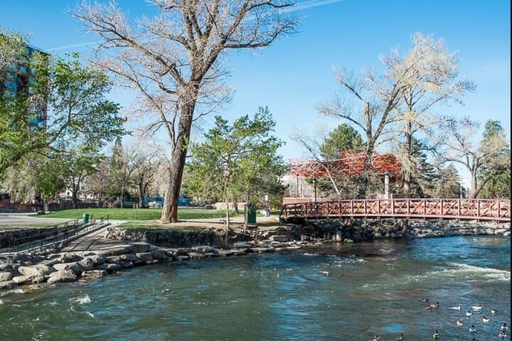
You step off the sidewalk and the city opens like a map: the Truckee River hurries nearby, neon letters punctuate the skyline, and a route of clues pulls you through alleys, plazas, and riverfront paths.
Verified experiences and guided adventures in the surrounding area.
Operated by Let's Roam · Reno, NV
You step off the sidewalk and the city opens like a map: the Truckee River hurries nearby, neon letters punctuate the skyline, and a route of clues pulls you through alleys, plazas, and riverfront paths.
This Let’s Roam scavenger hunt threads Reno’s practical past and lively present. Once a railroad and mining service town that grew fast during Nevada’s boom years, Reno still wears that gritty, get-things-done character. Geologically the area sits on high desert plain fed by the Sierra Nevada; expect dusty stretches and sudden green riparian corridors along the river.
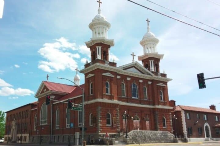
Culturally the hunt moves between small-scale institutions and street-level creativity: local murals, boutique coffee shops, and history plaques marking civic reinvention from gambling hub to arts destination. The app stages photo challenges, trivia, and role-based tasks that nudge teams toward both landmarks and quiet corners most visitors miss.
Practical guidance: the route is self-guided and typically covers 1.5–3 miles over roughly two hours on mostly paved surfaces with occasional stairs and uneven sidewalks. Bring a fully charged smartphone, a power bank, and comfortable walking shoes. Weekday starts are cooler and less crowded; evenings light up the neon and change the mood of photo tasks. Public transit and downtown parking are available, and accessibility notes in the app help plan routes for different abilities.
This is an urban, social adventure: competitive enough for team-building, flexible enough for a family outing, and engineered so you control the pace while the city keeps supplying the scenery.
easy.
1.5–2.5 hours.
Light to moderate fitness for walking 1.5–3 miles; comfortable on feet for up to two hours
Most groups finish in about 1.5–2.5 hours, depending on pace and how long you linger at stops.
No — this private, self-guided hunt starts whenever you launch the app; there are no fixed start times.
Much of downtown is wheelchair accessible, but some sections may include stairs or uneven sidewalks; use the app to select accessible route options where available.
Let’s Roam provides phone, email, and chat support as well as in-app assistance and troubleshooting.
Reno grew fast in the late 19th and early 20th centuries as a rail and mining service center and later developed a reputation for gambling and quick divorces, shaping its small-city, entrepreneurial culture.
Stick to sidewalks and designated river access points, pack out trash, and respect riparian vegetation to protect the Truckee River corridor through downtown.
Let's Roam operates guided outdoor trips and adventures with an emphasis on safety, stewardship, and memorable experiences.

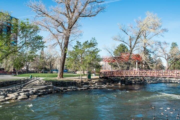
You step off the sidewalk and the city opens like a map: the Truckee River hurries nearby, neon letters punctuate the skyline, and a route of clues pulls you through alleys, plazas, and riverfront paths.
You step off the sidewalk and the city opens like a map: the Truckee River hurries nearby, neon letters punctuate the skyline, and a route of clues pulls you through alleys, plazas, and riverfront paths.
This Let’s Roam scavenger hunt threads Reno’s practical past and lively present. Once a railroad and mining service town that grew fast during Nevada’s boom years, Reno still wears that gritty, get-things-done character. Geologically the area sits on high desert plain fed by the Sierra Nevada; expect dusty stretches and sudden green riparian corridors along the river.
Culturally the hunt moves between small-scale institutions and street-level creativity: local murals, boutique coffee shops, and history plaques marking civic reinvention from gambling hub to arts destination. The app stages photo challenges, trivia, and role-based tasks that nudge teams toward both landmarks and quiet corners most visitors miss.
Practical guidance: the route is self-guided and typically covers 1.5–3 miles over roughly two hours on mostly paved surfaces with occasional stairs and uneven sidewalks. Bring a fully charged smartphone, a power bank, and comfortable walking shoes. Weekday starts are cooler and less crowded; evenings light up the neon and change the mood of photo tasks. Public transit and downtown parking are available, and accessibility notes in the app help plan routes for different abilities.
This is an urban, social adventure: competitive enough for team-building, flexible enough for a family outing, and engineered so you control the pace while the city keeps supplying the scenery.