THE ADVENTURE COLLECTIVE® · Independent discovery and booking for outdoor travel

A two‑hour, app‑led scavenger hunt along the Sacramento River that guides you past the Sundial Bridge, Turtle Bay trails, and downtown Redding landmarks. Perfect for teams, families, or solo explorers who like puzzles with a side of river scenery.
A two‑hour, app‑led scavenger hunt along the Sacramento River that guides you past the Sundial Bridge, Turtle Bay trails, and downtown Redding landmarks. Perfect for teams, families, or solo explorers who like puzzles with a side of river scenery.
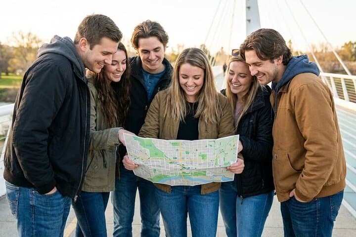
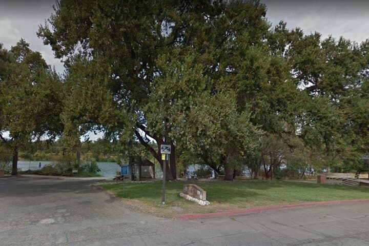
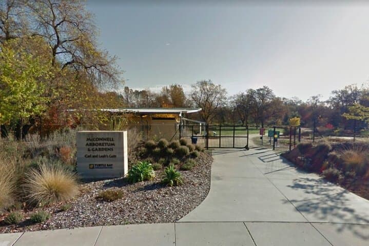
You step off Arboretum Drive and the Sundial Bridge cuts a clean line across the Sacramento River—a modern spine guiding your phone’s map and your next clue. Cottonwoods rustle as teams fan out: one player solving a riddle under the bridge, another hunting for a plaque on a riverside bench. The river seems to dare you forward; the city answers with murals, quiet arboretum paths and a skyline of hills that slope toward water.
Verified experiences and guided adventures in the surrounding area.
Operated by Let's Roam · Redding, California
You step off Arboretum Drive and the Sundial Bridge cuts a clean line across the Sacramento River—a modern spine guiding your phone’s map and your next clue. Cottonwoods rustle as teams fan out: one player solving a riddle under the bridge, another hunting for a plaque on a riverside bench. The river seems to dare you forward; the city answers with murals, quiet arboretum paths and a skyline of hills that slope toward water.
Redding’s story is braided with rails, rivers and dams. Named for railroad figure Benjamin B. Redding, the town expanded with 20th‑century dam projects that reshaped both industry and recreation. Geologically the region sits where the northern Sacramento Valley meets the southern Cascades—river terraces, basalt outcrops and pockets of oak and pine define the local palette.
Culturally the area blends small‑town California with an outdoors ethos: Turtle Bay Exploration Park frames natural science exhibits beside botanical displays, while downtown has civic murals and a compact cluster of historic buildings you'll encounter on the hunt.
Practically, this is a self‑guided, app‑led urban walk of about two hours. Expect paved riverside promenades, short trail detours and a few flights of steps near viewpoints; moderate fitness and a charged smartphone are essential. Start early in summer to avoid heat, use your role assignments (Photographer, Mapper, Brainiac) to divide tasks, and save battery by closing unused apps. Hydrate, pick a comfortable shoe with good grip, and allow an extra half hour if you want to linger at viewpoints or explore Turtle Bay’s arboretum gardens after the hunt.
moderate.
2 hours.
Moderate – you should be comfortable walking 2–4 miles with short stair and trail sections
No — this is self‑guided through the app and you can start at any time during daylight hours after redeeming your voucher.
Major riverside promenades and many downtown sections are paved and wheelchair accessible, but some short trail spurs and steps may not be suitable—plan your route accordingly.
Use the app lobby to add players and assign roles.
The Let’s Roam app provides hints and you can contact support via the in‑app help or the provided phone/email for assistance.
Redding grew around rail routes and expanded after dam construction provided jobs and transformed the Sacramento River corridor into recreational shoreline.
The river corridor is managed for public access and habitat; stay on trails, pack out waste and avoid disturbing nesting birds to minimize your impact.
Let's Roam operates guided outdoor trips and adventures with an emphasis on safety, stewardship, and memorable experiences.

You step off Arboretum Drive and the Sundial Bridge cuts a clean line across the Sacramento River—a modern spine guiding your phone’s map and your next clue. Cottonwoods rustle as teams fan out: one player solving a riddle under the bridge, another hunting for a plaque on a riverside bench. The river seems to dare you forward; the city answers with murals, quiet arboretum paths and a skyline of hills that slope toward water.
You step off Arboretum Drive and the Sundial Bridge cuts a clean line across the Sacramento River—a modern spine guiding your phone’s map and your next clue. Cottonwoods rustle as teams fan out: one player solving a riddle under the bridge, another hunting for a plaque on a riverside bench. The river seems to dare you forward; the city answers with murals, quiet arboretum paths and a skyline of hills that slope toward water.
Redding’s story is braided with rails, rivers and dams. Named for railroad figure Benjamin B. Redding, the town expanded with 20th‑century dam projects that reshaped both industry and recreation. Geologically the region sits where the northern Sacramento Valley meets the southern Cascades—river terraces, basalt outcrops and pockets of oak and pine define the local palette.
Culturally the area blends small‑town California with an outdoors ethos: Turtle Bay Exploration Park frames natural science exhibits beside botanical displays, while downtown has civic murals and a compact cluster of historic buildings you'll encounter on the hunt.
Practically, this is a self‑guided, app‑led urban walk of about two hours. Expect paved riverside promenades, short trail detours and a few flights of steps near viewpoints; moderate fitness and a charged smartphone are essential. Start early in summer to avoid heat, use your role assignments (Photographer, Mapper, Brainiac) to divide tasks, and save battery by closing unused apps. Hydrate, pick a comfortable shoe with good grip, and allow an extra half hour if you want to linger at viewpoints or explore Turtle Bay’s arboretum gardens after the hunt.