THE ADVENTURE COLLECTIVE® · Independent discovery and booking for outdoor travel

An accessible day hike from Quito along the Rio Pita walkpath to Condor Machay waterfall. Cross suspension bridges, see four small falls and finish with lunch in Selva Alegre.
An accessible day hike from Quito along the Rio Pita walkpath to Condor Machay waterfall. Cross suspension bridges, see four small falls and finish with lunch in Selva Alegre.
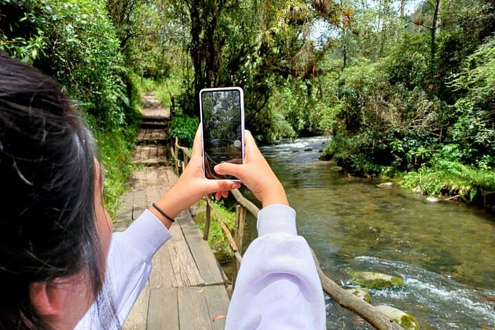
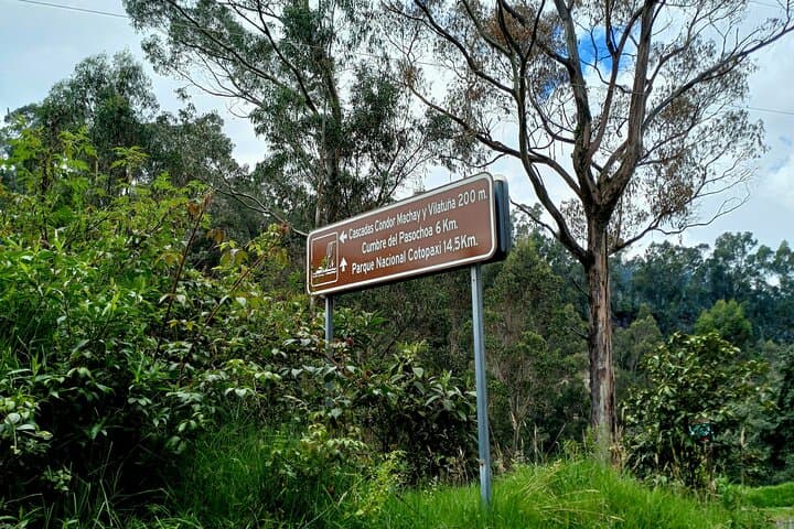
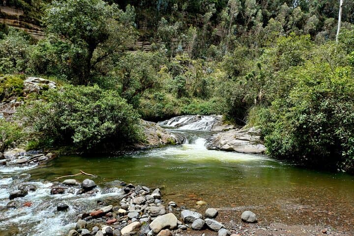
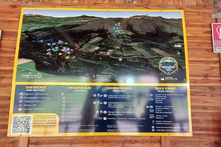
A cool mountain wind meets you before the trail does — the highway drops away and the valley narrows, leaving a band of Andean forest that seems to pull the city noise downriver. On this private tour from Quito you follow the Rio Pita walkpath up to about 10,400 ft (3,100 m), crossing nine suspension bridges and passing four small cataracts before the trail opens onto the 80 m (262 ft) Condor Machay cascade.
Verified experiences and guided adventures in the surrounding area.
Operated by Daniel Mucarsel · Quito, Pichincha
A cool mountain wind meets you before the trail does — the highway drops away and the valley narrows, leaving a band of Andean forest that seems to pull the city noise downriver. On this private tour from Quito you follow the Rio Pita walkpath up to about 10,400 ft (3,100 m), crossing nine suspension bridges and passing four small cataracts before the trail opens onto the 80 m (262 ft) Condor Machay cascade.
Geology here is unapologetically volcanic: slopes carved from Cotopaxi-era eruptions tilt into deep gullies, feeding clear, mineral-rich streams that make rock faces gleam. The area sits on the Road of the Volcanoes, a corridor of volcanic peaks and agricultural parishes; farmers and small towns like Rumipamba shape the human side of the landscape with terraces and local cuisine.
Expect humid, mossy understory, endemic shrubs and the quick flash of hummingbirds. The walk is roughly 8 km (about 5 miles) round-trip at steady pace — slow enough for photos, brisk enough to keep warm at altitude. Brunch or lunch in Selva Alegre finishes the day with traditional, budget-friendly plates.
Practical edge: altitude is the variable, not technical terrain — trails are well maintained but can be muddy after rain. Wear grippy boots, layer for sun and wind, carry water and a light rain shell. Tours provide private transport, bottled water and a guided pace that suits mixed fitness levels. Aim for a morning start to avoid mid-afternoon cloud build-up and maximize views of the waterfall and surrounding volcano-framed valley.
moderate.
6–8 hours.
Basic hiking fitness; able to walk 8 km with some elevation and manage stairs and uneven ground at altitude
The guided walk covers roughly 8 km (about 5 miles) round-trip and typically takes about 2 hours on the trail at a steady pace.
Yes—trails are maintained and the tour notes suitability for varying fitness levels, but consider altitude and mobility on bridges and uneven ground.
Brunch or lunch is included at a Selva Alegre restaurant, but you may want snacks for the trail and any dietary preferences noted in advance.
Driving time is approximately 45–75 minutes depending on traffic and exact pickup point; the itinerary includes private transport and air-conditioned vehicle.
The valley has long supported small agricultural communities and sits along the historic Road of the Volcanoes used by highland farmers and trade routes.
Stay on marked trails to protect fragile Andean vegetation; local operators support park fees and low-impact access to reduce erosion and litter.
Daniel Mucarsel operates guided outdoor trips and adventures with an emphasis on safety, stewardship, and memorable experiences.
A cool mountain wind meets you before the trail does — the highway drops away and the valley narrows, leaving a band of Andean forest that seems to pull the city noise downriver. On this private tour from Quito you follow the Rio Pita walkpath up to about 10,400 ft (3,100 m), crossing nine suspension bridges and passing four small cataracts before the trail opens onto the 80 m (262 ft) Condor Machay cascade.
A cool mountain wind meets you before the trail does — the highway drops away and the valley narrows, leaving a band of Andean forest that seems to pull the city noise downriver. On this private tour from Quito you follow the Rio Pita walkpath up to about 10,400 ft (3,100 m), crossing nine suspension bridges and passing four small cataracts before the trail opens onto the 80 m (262 ft) Condor Machay cascade.
Geology here is unapologetically volcanic: slopes carved from Cotopaxi-era eruptions tilt into deep gullies, feeding clear, mineral-rich streams that make rock faces gleam. The area sits on the Road of the Volcanoes, a corridor of volcanic peaks and agricultural parishes; farmers and small towns like Rumipamba shape the human side of the landscape with terraces and local cuisine.
Expect humid, mossy understory, endemic shrubs and the quick flash of hummingbirds. The walk is roughly 8 km (about 5 miles) round-trip at steady pace — slow enough for photos, brisk enough to keep warm at altitude. Brunch or lunch in Selva Alegre finishes the day with traditional, budget-friendly plates.
Practical edge: altitude is the variable, not technical terrain — trails are well maintained but can be muddy after rain. Wear grippy boots, layer for sun and wind, carry water and a light rain shell. Tours provide private transport, bottled water and a guided pace that suits mixed fitness levels. Aim for a morning start to avoid mid-afternoon cloud build-up and maximize views of the waterfall and surrounding volcano-framed valley.