THE ADVENTURE COLLECTIVE® · Independent discovery and booking for outdoor travel

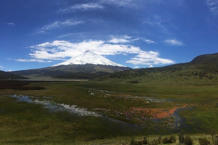
A day trip from Quito to Cotopaxi delivers stark highland drama: Limpiopungo’s reflective lake, wind-scoured páramo, and an optional hike to the José Ribas refuge near 4,800 m. Expect thin air, wide views, and quick-changing weather.
A day trip from Quito to Cotopaxi delivers stark highland drama: Limpiopungo’s reflective lake, wind-scoured páramo, and an optional hike to the José Ribas refuge near 4,800 m. Expect thin air, wide views, and quick-changing weather.
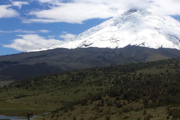
You arrive before the sun breaks the rim of the Andes, air thin and sharp, the volcano’s cone already a dark authority above the páramo. Driving south from Quito, the landscape opens into high grasslands and wind-scoured ridgelines; Cotopaxi’s snow-fed summit sits like a challenge written across the sky.
Verified experiences and guided adventures in the surrounding area.
Operated by Ecuador Local Guide · Latacunga, Cotopaxi Province
You arrive before the sun breaks the rim of the Andes, air thin and sharp, the volcano’s cone already a dark authority above the páramo. Driving south from Quito, the landscape opens into high grasslands and wind-scoured ridgelines; Cotopaxi’s snow-fed summit sits like a challenge written across the sky.
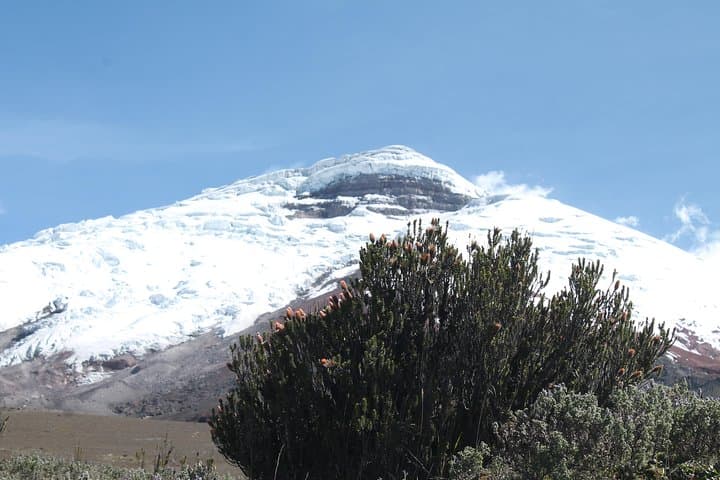
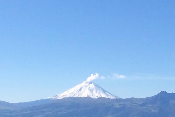
Cotopaxi (5,897 m) is one of Ecuador’s most recognizable peaks — a stratovolcano with a history of eruptions recorded since pre-Columbian times. The surrounding national park, created in the 20th century, preserves glacial cirques, Limpiopungo Lake and patches of Polylepis woodland. You’ll pass sites where Inca travelers and later highland communities navigated these altitudes; today wild horses graze the páramo and Andean condors ride the thermals.
The tour’s practical arc: a two-hour drive from Quito, a stop at a small natural-history exhibit, an acclimatizing walk around Limpiopungo (≈3,800 m), then a drive to a 4,600 m parking area. Fit participants can hike ~45 minutes higher to the José Ribas refuge (≈4,800 m) for closer summit views and hot chocolate. Expect rocky, uneven trails, strong sun, and the real possibility of wind and rapid weather shifts.
Plan for altitude: move deliberately, hydrate, and keep layers handy. Sturdy boots and a waterproof shell make the difference; trekking poles help on loose scree. Timing is key — mornings are clearest for views. Whether you come for photos, birding, or a short high-altitude hike, Cotopaxi delivers stripped-down Andean drama with accessible logistics from Quito.
challenging.
8–9 hours.
Good cardiovascular fitness and prior exposure to high altitude recommended; be comfortable walking on uneven ground for up to 1–2 hours at a stretch.
About two hours each way depending on traffic and road conditions; tours typically include hotel pickup and return.
The short hike is steep and at high altitude; beginners can do it if they move slowly and are acclimatized, but those with respiratory or heart issues should avoid it.
Typical inclusions are private transport, driver/guide, bottled water, hotel pickup/drop-off and entry stops; food is often optional or extra.
The dry months (roughly June–September) generally offer the clearest skies and best summit visibility, though weather is always variable.
Cotopaxi has been a landmark for Andean cultures for centuries and the national park was established to protect its unique highland ecosystems and volcanic landscapes.
Stick to marked trails to protect fragile páramo vegetation; avoid disturbing wildlife and pack out all trash to minimize human impact.
Ecuador Local Guide operates guided outdoor trips and adventures with an emphasis on safety, stewardship, and memorable experiences.
You arrive before the sun breaks the rim of the Andes, air thin and sharp, the volcano’s cone already a dark authority above the páramo. Driving south from Quito, the landscape opens into high grasslands and wind-scoured ridgelines; Cotopaxi’s snow-fed summit sits like a challenge written across the sky.
You arrive before the sun breaks the rim of the Andes, air thin and sharp, the volcano’s cone already a dark authority above the páramo. Driving south from Quito, the landscape opens into high grasslands and wind-scoured ridgelines; Cotopaxi’s snow-fed summit sits like a challenge written across the sky.
Cotopaxi (5,897 m) is one of Ecuador’s most recognizable peaks — a stratovolcano with a history of eruptions recorded since pre-Columbian times. The surrounding national park, created in the 20th century, preserves glacial cirques, Limpiopungo Lake and patches of Polylepis woodland. You’ll pass sites where Inca travelers and later highland communities navigated these altitudes; today wild horses graze the páramo and Andean condors ride the thermals.
The tour’s practical arc: a two-hour drive from Quito, a stop at a small natural-history exhibit, an acclimatizing walk around Limpiopungo (≈3,800 m), then a drive to a 4,600 m parking area. Fit participants can hike ~45 minutes higher to the José Ribas refuge (≈4,800 m) for closer summit views and hot chocolate. Expect rocky, uneven trails, strong sun, and the real possibility of wind and rapid weather shifts.
Plan for altitude: move deliberately, hydrate, and keep layers handy. Sturdy boots and a waterproof shell make the difference; trekking poles help on loose scree. Timing is key — mornings are clearest for views. Whether you come for photos, birding, or a short high-altitude hike, Cotopaxi delivers stripped-down Andean drama with accessible logistics from Quito.