THE ADVENTURE COLLECTIVE® · Independent discovery and booking for outdoor travel

A classic 3-day Andean trek linking Quilotoa’s crater rim with the Toachi Canyon. Expect high-altitude descents, rural villages, and dramatic volcanic scenery with practical hiking stages each day.
A classic 3-day Andean trek linking Quilotoa’s crater rim with the Toachi Canyon. Expect high-altitude descents, rural villages, and dramatic volcanic scenery with practical hiking stages each day.
Dawn breaks over a rim of volcanic rock and the crater lake glows a chill turquoise—your first steps are down a steep, dusty path toward Quilotoa’s crater floor, the air thin and clear enough to make every breath deliberate.
Verified experiences and guided adventures in the surrounding area.
Operated by Ecuador Tour Guide · Latacunga, Cotopaxi
Dawn breaks over a rim of volcanic rock and the crater lake glows a chill turquoise—your first steps are down a steep, dusty path toward Quilotoa’s crater floor, the air thin and clear enough to make every breath deliberate.
This three-day route threads classic Andean landscapes: Cotopaxi’s vast glacier-scarred cone looms to the north while Quilotoa’s caldera tells a story of violent eruptions that reshaped these valleys millennia ago. The loop links small indigenous farming villages—Zumbahua, Huayama, Chugchilan, Isinlivi—where agriculture, weaving, and a highland Kichwa heritage remain visible in terraces and daily markets.
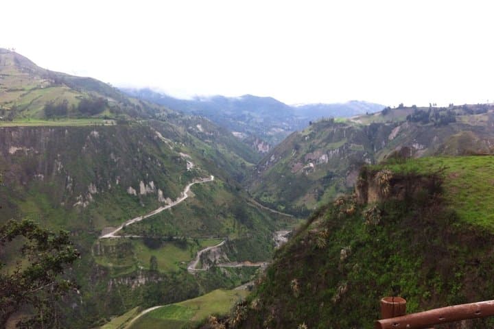
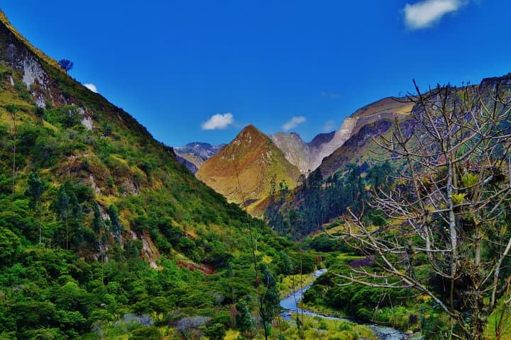
Geology is the guide here: crater rims, pumice slopes and the Toachi River carving deep canyons offer constant shifts in texture and grade. Culture is compact and direct—villagers greeting hikers, horses grazing, and simple hostels in towns that serve home-cooked soups and fresh bread.
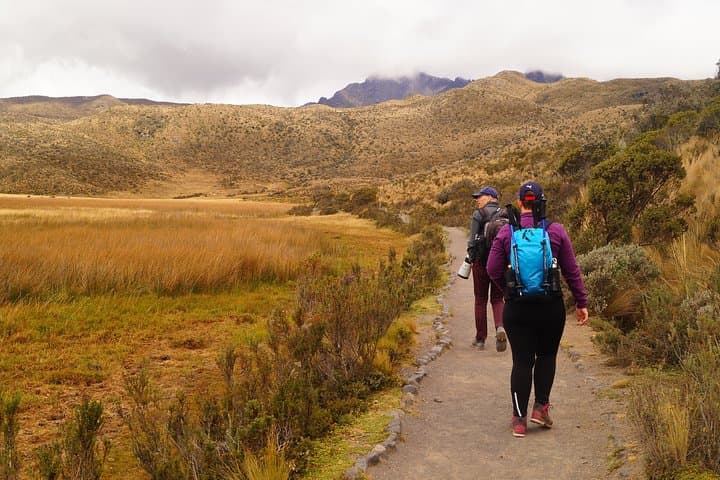
Practically, expect sustained descents and ascents on dirt roads and singletrack, altitudes between ~3,800–4,600 m, and three days of 4–6 hour hiking segments. Weather can flip from fierce sun to sudden rain; layers and a rain shell are non-negotiable. Hydration and slow pacing are crucial at altitude—take your time on steep switchbacks and use the guide’s pace.
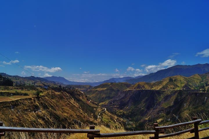
Plan for early starts to avoid afternoon storms, wear sturdy, broken-in boots for loose scree, and keep cash for small village purchases. The route rewards steady hikers with panoramic crater views, canyon overlooks along the Toachi, and a clear sense of Andean mountain life.
moderate.
3 days.
Suitable for hikers with steady cardiovascular fitness and experience with multi-day treks at altitude; comfortable walking 4–6 hours per day.
The route is moderate but altitude raises effort—expect breathlessness and slower pace; acclimatize in Quito or Latacunga and communicate symptoms to your guide.
Yes—double-room accommodation in basic hostels and three lunches plus two dinners are included; bring snacks for the trail.
This itinerary is offered as a private tour with an English-speaking guide and private transport between trailheads.
Most departures leave Quito early and visit Cotopaxi en route before reaching Quilotoa; plan for long driving segments on day one.
Quilotoa’s caldera formed in a massive eruption about 800 years ago; the surrounding villages retain Kichwa farming traditions and textile crafts.
Stick to established trails and avoid collecting volcanic rock; local initiatives support sustainable tourism and protect water sources around the crater.
Ecuador Tour Guide operates guided outdoor trips and adventures with an emphasis on safety, stewardship, and memorable experiences.
Dawn breaks over a rim of volcanic rock and the crater lake glows a chill turquoise—your first steps are down a steep, dusty path toward Quilotoa’s crater floor, the air thin and clear enough to make every breath deliberate.
Dawn breaks over a rim of volcanic rock and the crater lake glows a chill turquoise—your first steps are down a steep, dusty path toward Quilotoa’s crater floor, the air thin and clear enough to make every breath deliberate.
This three-day route threads classic Andean landscapes: Cotopaxi’s vast glacier-scarred cone looms to the north while Quilotoa’s caldera tells a story of violent eruptions that reshaped these valleys millennia ago. The loop links small indigenous farming villages—Zumbahua, Huayama, Chugchilan, Isinlivi—where agriculture, weaving, and a highland Kichwa heritage remain visible in terraces and daily markets.
Geology is the guide here: crater rims, pumice slopes and the Toachi River carving deep canyons offer constant shifts in texture and grade. Culture is compact and direct—villagers greeting hikers, horses grazing, and simple hostels in towns that serve home-cooked soups and fresh bread.
Practically, expect sustained descents and ascents on dirt roads and singletrack, altitudes between ~3,800–4,600 m, and three days of 4–6 hour hiking segments. Weather can flip from fierce sun to sudden rain; layers and a rain shell are non-negotiable. Hydration and slow pacing are crucial at altitude—take your time on steep switchbacks and use the guide’s pace.
Plan for early starts to avoid afternoon storms, wear sturdy, broken-in boots for loose scree, and keep cash for small village purchases. The route rewards steady hikers with panoramic crater views, canyon overlooks along the Toachi, and a clear sense of Andean mountain life.