THE ADVENTURE COLLECTIVE® · Independent discovery and booking for outdoor travel

Walk Quilotoa’s crater rim and descend through Andean villages on a concentrated 2‑day loop from Quito. Expect steep short climbs, desert winds, and cosy mountain hostels between panoramic lake views.
Walk Quilotoa’s crater rim and descend through Andean villages on a concentrated 2‑day loop from Quito. Expect steep short climbs, desert winds, and cosy mountain hostels between panoramic lake views.
The trail opens with the Andes folding around you — a high, wind-scoured rim where the crater’s turquoise lake sits like an inland sea. On day one the group drives from Quito along the Avenue of the Volcanoes, dropping altitude through patchwork fields and indigenous villages until Quilotoa’s rim appears: raw rock, steep crater walls, and a palette of mineral blues.
Verified experiences and guided adventures in the surrounding area.
Operated by Ecuador Local Guide · Quilotoa, Cotopaxi Province
The trail opens with the Andes folding around you — a high, wind-scoured rim where the crater’s turquoise lake sits like an inland sea. On day one the group drives from Quito along the Avenue of the Volcanoes, dropping altitude through patchwork fields and indigenous villages until Quilotoa’s rim appears: raw rock, steep crater walls, and a palette of mineral blues.
Geologically the lake fills a caldera created by a major Holocene eruption; walking the rim gives direct access to that volcanic story in the exposed strata and abrupt cliffs. Culturally, the route threads through small farming communities — Zumbahua, Huayama, Chugchilan — where Quechua-speaking families raise llamas and sell woven goods, and where mountain hospitality is plain and practical.
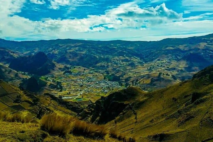
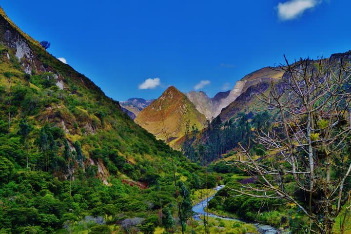
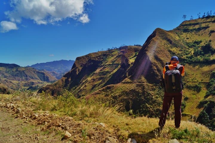
Hiking the loop feels like a sequence of short, sharp climbs and descents: crater rim walks, a steep drop toward the plateau, and long dirt-track stretches that lead to Chugchilan. You’ll pass fertile terraces, the Toachi River valley below, and the changing microclimates that make this area surprisingly green.
Practical edge: expect thin air above 3,800 m, rocky and sometimes muddy trails, and strong afternoon winds. Plan for sturdy footwear, layered clothing, and a slow pace for acclimatization. The trip normally includes a basic local hostel overnight, two lunches and dinner, and an English-speaking guide; transport returns to Quito or can continue south to Baños or Riobamba for additional travel.
For hikers who value scenery, cultural contact, and a compact multi-day route, the Quilotoa Loop delivers a highland trek that is vivid, manageable, and distinctly Andean.
moderate.
8–10 hours total (2 days, 4–6 hours hiking per day).
Good aerobic base and comfort on uneven trails; ability to hike at altitude for several hours.
The rim sits above roughly 3,800–3,900 m; mild altitude symptoms are common—allow time to acclimatize, hydrate, and avoid overexertion.
Physically fit beginners can complete it with a guide, but expect steep sections and uneven ground; prior day-hiking experience is helpful.
The overnight is usually in a basic local hostel with shared rooms; comforts are simple but clean, and meals are locally prepared.
Yes—transport options often include an extension south to Baños or Riobamba for additional cost or independent travel after the tour ends.
Quilotoa occupies a caldera formed by a large eruption in the late Holocene; valleys around it have long been home to Quechua-speaking agricultural communities.
The high-altitude páramo is fragile—stay on trails, pack out waste, and support local guides and village economies to reduce tourism impact.
Ecuador Local Guide operates guided outdoor trips and adventures with an emphasis on safety, stewardship, and memorable experiences.
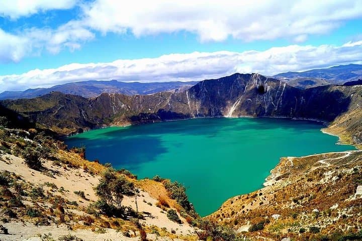
The trail opens with the Andes folding around you — a high, wind-scoured rim where the crater’s turquoise lake sits like an inland sea. On day one the group drives from Quito along the Avenue of the Volcanoes, dropping altitude through patchwork fields and indigenous villages until Quilotoa’s rim appears: raw rock, steep crater walls, and a palette of mineral blues.
The trail opens with the Andes folding around you — a high, wind-scoured rim where the crater’s turquoise lake sits like an inland sea. On day one the group drives from Quito along the Avenue of the Volcanoes, dropping altitude through patchwork fields and indigenous villages until Quilotoa’s rim appears: raw rock, steep crater walls, and a palette of mineral blues.
Geologically the lake fills a caldera created by a major Holocene eruption; walking the rim gives direct access to that volcanic story in the exposed strata and abrupt cliffs. Culturally, the route threads through small farming communities — Zumbahua, Huayama, Chugchilan — where Quechua-speaking families raise llamas and sell woven goods, and where mountain hospitality is plain and practical.
Hiking the loop feels like a sequence of short, sharp climbs and descents: crater rim walks, a steep drop toward the plateau, and long dirt-track stretches that lead to Chugchilan. You’ll pass fertile terraces, the Toachi River valley below, and the changing microclimates that make this area surprisingly green.
Practical edge: expect thin air above 3,800 m, rocky and sometimes muddy trails, and strong afternoon winds. Plan for sturdy footwear, layered clothing, and a slow pace for acclimatization. The trip normally includes a basic local hostel overnight, two lunches and dinner, and an English-speaking guide; transport returns to Quito or can continue south to Baños or Riobamba for additional travel.
For hikers who value scenery, cultural contact, and a compact multi-day route, the Quilotoa Loop delivers a highland trek that is vivid, manageable, and distinctly Andean.