THE ADVENTURE COLLECTIVE® · Independent discovery and booking for outdoor travel

A full-day alpine hike from Ribes de Freser to Puigmal, Taga or Núria Valley that pairs glacial geology, high-mountain views, and close wildlife encounters. Expect rocky cols, steep climbs, and rewarding panoramas across Catalonia.
A full-day alpine hike from Ribes de Freser to Puigmal, Taga or Núria Valley that pairs glacial geology, high-mountain views, and close wildlife encounters. Expect rocky cols, steep climbs, and rewarding panoramas across Catalonia.
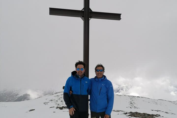
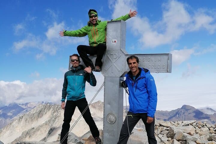
A cold wind pushes across the ridge as you crest toward Puigmal; below, the Vall de Núria folds away in green and grey, an amphitheater cut by ice and time. You feel the altitude in the thin air and in the silence—only the click of boots on scree and the distant cry of a raptor.
Verified experiences and guided adventures in the surrounding area.
Operated by Vladi_guia de muntanya · Ribes de Freser, Girona
A cold wind pushes across the ridge as you crest toward Puigmal; below, the Vall de Núria folds away in green and grey, an amphitheater cut by ice and time. You feel the altitude in the thin air and in the silence—only the click of boots on scree and the distant cry of a raptor.
The Catalan Pyrenees are shaped by Pleistocene glaciers: cirques, polished rock slabs and moraines that still direct water into narrow valleys. Human history here is compact—shepherd tracks, stone huts, and mountain sanctuaries like Núria map centuries of pastoral life and pilgrimage. Geology hands you the route; culture hands you the markers: cairns, dry-stone walls, and tiny Romanesque chapels.
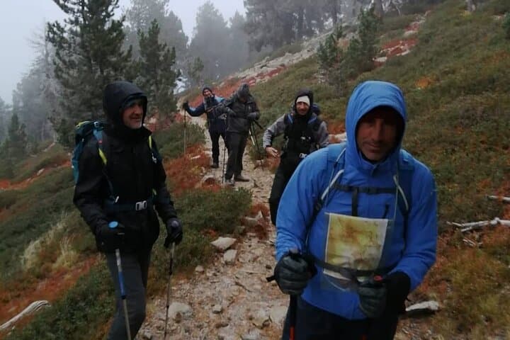
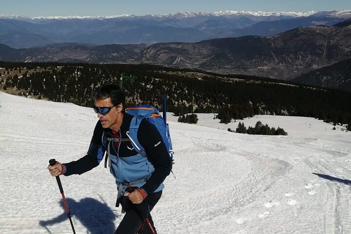
Wildlife is visible if you move slowly—marmots sun themselves on rocks, chamois pick their line on cliffs, and griffon vultures wheel on thermal lifts. Trails vary: summer meadows give way to rocky cols and occasional snowfields higher up. Routes from Ribes de Freser to Puigmal, Taga or the Núria basin typically run 12–18 km round-trip with 600–1,200 m of elevation gain depending on the summit.
Practical edge: start early to avoid afternoon storms, layer for sudden temperature swings, carry 2–3 L of water and a high-energy picnic, and use sturdy boots with good grip for scree sections. Navigation follows well-trodden mountain paths but a map and basic compass skills are useful. Respect grazing livestock and stay on trails—these mountains heal when visitors leave them whole.
moderate.
6–8 hours.
Moderate cardiovascular fitness with experience on sustained uphill trails; comfortable with long descents.
Routes range from moderate to challenging depending on chosen summit—expect sustained climbs of 600–1,200 m and uneven terrain; appropriate fitness and proper footwear are required.
No permit is required for day hikes; guided options are useful for first-time visitors or if you want local history and wildlife spotting included.
Late spring through early autumn offers the most accessible conditions; high snow can persist into late spring above 2,000 m and weather can change quickly.
Mountain streams exist in lower sections but may be seasonal; treat or filter water if you rely on natural sources—carry sufficient water for the day.
The valley corridors were used for transhumance and pilgrimage for centuries; Romanesque chapels and shepherd huts dot the landscape and reflect a pastoral mountain culture.
Trails are vulnerable to erosion and summer overcrowding; stick to marked paths, pack out waste, and avoid disturbing wildlife to preserve fragile alpine ecosystems.
Vladi_guia de muntanya operates guided outdoor trips and adventures with an emphasis on safety, stewardship, and memorable experiences.
A cold wind pushes across the ridge as you crest toward Puigmal; below, the Vall de Núria folds away in green and grey, an amphitheater cut by ice and time. You feel the altitude in the thin air and in the silence—only the click of boots on scree and the distant cry of a raptor.
A cold wind pushes across the ridge as you crest toward Puigmal; below, the Vall de Núria folds away in green and grey, an amphitheater cut by ice and time. You feel the altitude in the thin air and in the silence—only the click of boots on scree and the distant cry of a raptor.
The Catalan Pyrenees are shaped by Pleistocene glaciers: cirques, polished rock slabs and moraines that still direct water into narrow valleys. Human history here is compact—shepherd tracks, stone huts, and mountain sanctuaries like Núria map centuries of pastoral life and pilgrimage. Geology hands you the route; culture hands you the markers: cairns, dry-stone walls, and tiny Romanesque chapels.
Wildlife is visible if you move slowly—marmots sun themselves on rocks, chamois pick their line on cliffs, and griffon vultures wheel on thermal lifts. Trails vary: summer meadows give way to rocky cols and occasional snowfields higher up. Routes from Ribes de Freser to Puigmal, Taga or the Núria basin typically run 12–18 km round-trip with 600–1,200 m of elevation gain depending on the summit.
Practical edge: start early to avoid afternoon storms, layer for sudden temperature swings, carry 2–3 L of water and a high-energy picnic, and use sturdy boots with good grip for scree sections. Navigation follows well-trodden mountain paths but a map and basic compass skills are useful. Respect grazing livestock and stay on trails—these mountains heal when visitors leave them whole.