THE ADVENTURE COLLECTIVE® · Independent discovery and booking for outdoor travel

Explore Puerto Rico’s lesser-known west with a downloadable map that links beaches, rivers, historic sites, and off‑the‑map nature spots. Perfect for independent travelers with a rental car who want to plan a focused 2–3 day loop.
Explore Puerto Rico’s lesser-known west with a downloadable map that links beaches, rivers, historic sites, and off‑the‑map nature spots. Perfect for independent travelers with a rental car who want to plan a focused 2–3 day loop.
Morning light hits limestone cliffs and the sea answers with a hiss — this is Puerto Rico’s west coast, where surf towns, secret beaches, and mountain rivers sit within easy reach of one another.
Verified experiences and guided adventures in the surrounding area.
Operated by El Yunque Tours - The most AMAZING adventure in Puerto Rico (Private tour / transportation included) · Mayagüez, Puerto Rico
Morning light hits limestone cliffs and the sea answers with a hiss — this is Puerto Rico’s west coast, where surf towns, secret beaches, and mountain rivers sit within easy reach of one another.
Follow a downloadable map that threads coastal panoramas with inland dry-forest trails and cascading pools. The region’s geology is plain in the stone: karst limestone along the shore gives way to folded volcanic ridges inland, carving caves and cliffs that channel wind and surf. Spanish colonial outposts and 17th-century stone chapels punctuate the coastal plain, reminders that the west has long been a crossroads of sailors and farmers.
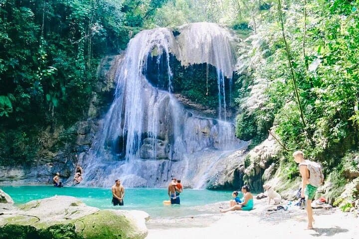
Culture here is hands-on: seafood kiosks, surf schools, and small coastal villages that mark time by tides and festivals. Locals still launch boats tied to family names; rivers invite a deliberate kind of play, but they demand respect — currents rise fast after rain.
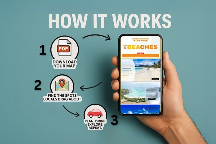
Practically, the product delivers a ready-to-use PDF map with photos, click-to-navigate Google links, and local notes so you can build a three-day loop by rental car. Expect short hikes through dry forest, easy beach walks, cliff viewpoints, and several river swim spots. Pack reef-safe sunscreen, bring a sturdy pair of water shoes, and set aside mornings for surf or bays and late afternoons for cliffside light. Check weather and local advisories before any river visit; the map gives direction, you choose the pace.
moderate.
2–3 days.
Moderate fitness: short hikes, beach walks, and brief climbs; able to handle uneven terrain and several short drives in one day.
Yes — the itinerary assumes a rental car to move between beaches, river trailheads, and small towns across the west coast.
The PDF provides photos and descriptions offline; the tour includes click-to-navigate Google Maps links, so download map tiles or screenshots before leaving cell coverage areas.
Rivers are often swim-friendly in dry conditions, but currents and levels change rapidly after rain — avoid swimming for at least 24 hours after heavy precipitation and follow local signs.
Dry season (December–April) offers more reliable beach and river conditions; avoid hurricane season (June–November) and check forecasts during the wet months.
Western Puerto Rico blends indigenous Taíno sites and Spanish colonial architecture; several small towns retain stone churches and forts dating back to the 17th and 18th centuries.
Stick to marked paths, use reef‑safe sunscreen, and avoid disturbing mangroves and tidal pools — these coastal systems are sensitive and recover slowly from trampling or pollution.
El Yunque Tours - The most AMAZING adventure in Puerto Rico (Private tour / transportation included) operates guided outdoor trips and adventures with an emphasis on safety, stewardship, and memorable experiences.
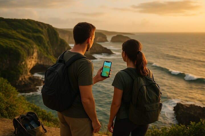
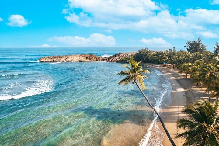
Morning light hits limestone cliffs and the sea answers with a hiss — this is Puerto Rico’s west coast, where surf towns, secret beaches, and mountain rivers sit within easy reach of one another.
Morning light hits limestone cliffs and the sea answers with a hiss — this is Puerto Rico’s west coast, where surf towns, secret beaches, and mountain rivers sit within easy reach of one another.
Follow a downloadable map that threads coastal panoramas with inland dry-forest trails and cascading pools. The region’s geology is plain in the stone: karst limestone along the shore gives way to folded volcanic ridges inland, carving caves and cliffs that channel wind and surf. Spanish colonial outposts and 17th-century stone chapels punctuate the coastal plain, reminders that the west has long been a crossroads of sailors and farmers.
Culture here is hands-on: seafood kiosks, surf schools, and small coastal villages that mark time by tides and festivals. Locals still launch boats tied to family names; rivers invite a deliberate kind of play, but they demand respect — currents rise fast after rain.
Practically, the product delivers a ready-to-use PDF map with photos, click-to-navigate Google links, and local notes so you can build a three-day loop by rental car. Expect short hikes through dry forest, easy beach walks, cliff viewpoints, and several river swim spots. Pack reef-safe sunscreen, bring a sturdy pair of water shoes, and set aside mornings for surf or bays and late afternoons for cliffside light. Check weather and local advisories before any river visit; the map gives direction, you choose the pace.