THE ADVENTURE COLLECTIVE® · Independent discovery and booking for outdoor travel

Trek the war trails to Pu To Co and stand where commanders once watched the Muong Thanh Valley. A day hike that pairs steep, rugged climbing with layered history and wide summit views.
Trek the war trails to Pu To Co and stand where commanders once watched the Muong Thanh Valley. A day hike that pairs steep, rugged climbing with layered history and wide summit views.
Morning mist thins above Muong Thanh Valley as trekkers step from the minibus onto a narrow dirt track — the same ridge lines that shaped the 1954 campaign. The route climbs through mixed pine and montane scrub, alternating short gullies and exposed ridgelines, until Pu To Co’s observation post opens onto a sweeping panorama of terraced fields and the former battlefield below.
Verified experiences and guided adventures in the surrounding area.
Operated by Authentic NINH BINH · Dien Bien Phu, Dien Bien
Morning mist thins above Muong Thanh Valley as trekkers step from the minibus onto a narrow dirt track — the same ridge lines that shaped the 1954 campaign. The route climbs through mixed pine and montane scrub, alternating short gullies and exposed ridgelines, until Pu To Co’s observation post opens onto a sweeping panorama of terraced fields and the former battlefield below.
The trail follows paths used during the Dien Bien Phu campaign; bunkers and low stone walls still punctuate the landscape. Geologically, the region sits on folded sedimentary ridges with shallow, rocky soils that give way to deeper, loamy earth in the valley. Local Thai and Hmong communities farm the slopes; their stilt houses and switchback trails are part of daily life here.
Expect around 800–1,000 m of relative altitude from valley floor sections with steep pitches and some loose stone underfoot. Navigation is straightforward on a marked tour, but sections are exposed to sun and wind. Guides usually weave battlefield history with natural observations — birdcalls, endemic orchids, and viewpoints used for observation in 1954.
Practical guidance: start early to avoid afternoon heat and occasional mountain storms. Sturdy hiking shoes and layers are essential; water access is limited so carry at least 2 liters. The ascent takes roughly 3 hours each way on varied terrain; allow time for the Muong Phang historical stop and summit views. Respect local sites and follow your guide’s instructions near preserved wartime structures. This is a day of physical, historical, and visual rewards — a compact trek that pairs Northwest Vietnam’s raw landscapes with one of the 20th century’s pivotal military histories.
moderate.
6–10 hours.
Suitable for hikers with regular cardio fitness; expect sustained uphill sections and uneven footing.
The trail is moderately strenuous with several steep sections; expect about 3 hours up on a guided route and basic fitness is recommended.
Yes — the route includes wartime observation points and visits to Muong Phang historical sites where command bunkers remain.
Most day tours include round-trip pickup from Dien Bien Phu; confirm pickup point when booking.
Yes, the route is suitable for hikers of varied experience when guided, but those with spinal, heart, or pregnancy restrictions should avoid it.
Pu To Co served as an observation post during the 1954 Dien Bien Phu campaign; the area’s terrain shaped strategic positions and supply lines during the battle.
Stick to marked paths to reduce erosion on fragile mountain soils; support local guides and respect community land to preserve cultural and natural resources.
Authentic NINH BINH operates guided outdoor trips and adventures with an emphasis on safety, stewardship, and memorable experiences.
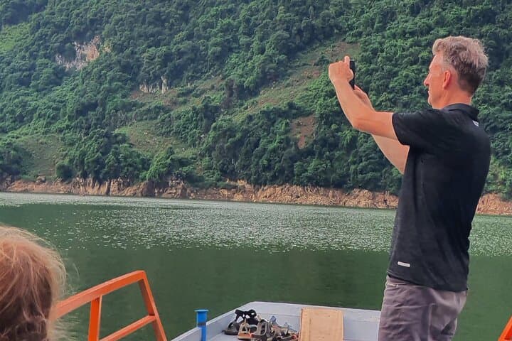


Morning mist thins above Muong Thanh Valley as trekkers step from the minibus onto a narrow dirt track — the same ridge lines that shaped the 1954 campaign. The route climbs through mixed pine and montane scrub, alternating short gullies and exposed ridgelines, until Pu To Co’s observation post opens onto a sweeping panorama of terraced fields and the former battlefield below.
Morning mist thins above Muong Thanh Valley as trekkers step from the minibus onto a narrow dirt track — the same ridge lines that shaped the 1954 campaign. The route climbs through mixed pine and montane scrub, alternating short gullies and exposed ridgelines, until Pu To Co’s observation post opens onto a sweeping panorama of terraced fields and the former battlefield below.
The trail follows paths used during the Dien Bien Phu campaign; bunkers and low stone walls still punctuate the landscape. Geologically, the region sits on folded sedimentary ridges with shallow, rocky soils that give way to deeper, loamy earth in the valley. Local Thai and Hmong communities farm the slopes; their stilt houses and switchback trails are part of daily life here.
Expect around 800–1,000 m of relative altitude from valley floor sections with steep pitches and some loose stone underfoot. Navigation is straightforward on a marked tour, but sections are exposed to sun and wind. Guides usually weave battlefield history with natural observations — birdcalls, endemic orchids, and viewpoints used for observation in 1954.
Practical guidance: start early to avoid afternoon heat and occasional mountain storms. Sturdy hiking shoes and layers are essential; water access is limited so carry at least 2 liters. The ascent takes roughly 3 hours each way on varied terrain; allow time for the Muong Phang historical stop and summit views. Respect local sites and follow your guide’s instructions near preserved wartime structures. This is a day of physical, historical, and visual rewards — a compact trek that pairs Northwest Vietnam’s raw landscapes with one of the 20th century’s pivotal military histories.