THE ADVENTURE COLLECTIVE® · Independent discovery and booking for outdoor travel

A compact 8 km ridge hike in the Prokletije from Grebaja, climbing Popadija, Talijanka and Maja e Can with sweeping alpine views and accessible water sources. Ideal as a full-day outing from Gusinje for hikers with moderate fitness.
A compact 8 km ridge hike in the Prokletije from Grebaja, climbing Popadija, Talijanka and Maja e Can with sweeping alpine views and accessible water sources. Ideal as a full-day outing from Gusinje for hikers with moderate fitness.
A cold wind sweeps across the Grebaja plateau as you step out of the Eco-čatun and follow a narrow trail through spruce and beech.
Verified experiences and guided adventures in the surrounding area.
Operated by Monte Mare Travel · Gusinje, Gusinje Municipality
A cold wind sweeps across the Grebaja plateau as you step out of the Eco-čatun and follow a narrow trail through spruce and beech.
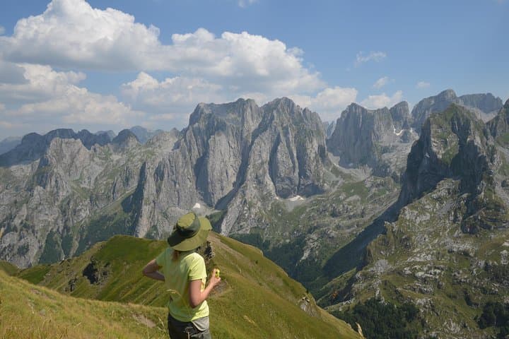
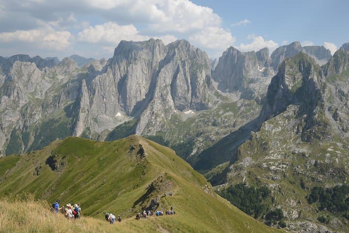
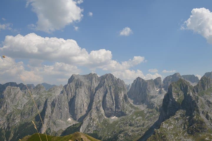
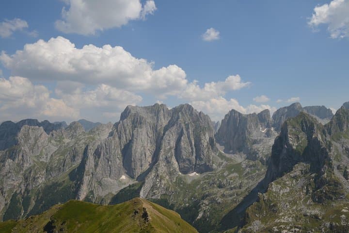
The path climbs steadily from the Suljova drinking fountain, weaves past the Mountain Center ‘‘Carnation’’ and breaks out onto the Volušnica plateau where a spring fountain greets hikers. From there a ridgewalk leads up Popadija and Talijanka, and on to Maja e Can — sharp, karst-cut profiles that push the sky back and demand attention.
Geologically the Prokletije are the southern edge of the Dinarides: limestone and schist folded into jagged crests and deep glacial bowls. Culturally this borderland has long been shaped by shepherding traditions and cross-border mountain routes between Montenegro, Albania and Kosovo; local huts and seasonal pastures reflect that history.
The hike itself is compact and intense: roughly 8 km with a top elevation near 2,057 m and a mix of forest track, rocky ridge and short steeper sections. The route is well marked and drinking water is available near the start (Suljova) and below Popadija. Expect strong winds and fast-changing weather above the tree line; the ridge exposes you to sun and cold in quick succession.
Practical guidance: carry at least 1.5–2 L of water, wear solid boots with ankle support, use trekking poles for the ridge steps and start early to avoid afternoon wind. The tour runs April–November depending on conditions and typically requires moderate fitness — plan for five hours on-trail plus transfer time.
moderate.
5 hours (on-trail) — plus transfer time.
Good aerobic fitness and comfort on uneven, exposed terrain for several hours; regular hikers will manage this comfortably.
The route is roughly 8 km with a max altitude near 2,057 m; plan on about 5 hours on-trail including short summit stops.
Yes—Suljova fountain near the trailhead and a spring below Popadija are traditional sources, but you should still carry extra water or treat natural sources.
The tour includes a licensed English-speaking guide and no special permits are generally required for day hikes; guides are recommended for navigation and borderland logistics.
April–November is the usual operating window; late spring to early autumn offers the most stable conditions, but check local weather and snowpack before booking.
The Prokletije (Bjeshkët e Nemuna) form the southern Dinarides and have long been used as seasonal pastureland by local shepherding communities that moved livestock across highland borders.
Alpine meadows and karst soils are fragile—stick to marked trails, carry out waste and avoid off-trail camping to limit erosion and habitat disturbance.
Monte Mare Travel operates guided outdoor trips and adventures with an emphasis on safety, stewardship, and memorable experiences.
A cold wind sweeps across the Grebaja plateau as you step out of the Eco-čatun and follow a narrow trail through spruce and beech.
A cold wind sweeps across the Grebaja plateau as you step out of the Eco-čatun and follow a narrow trail through spruce and beech.
The path climbs steadily from the Suljova drinking fountain, weaves past the Mountain Center ‘‘Carnation’’ and breaks out onto the Volušnica plateau where a spring fountain greets hikers. From there a ridgewalk leads up Popadija and Talijanka, and on to Maja e Can — sharp, karst-cut profiles that push the sky back and demand attention.
Geologically the Prokletije are the southern edge of the Dinarides: limestone and schist folded into jagged crests and deep glacial bowls. Culturally this borderland has long been shaped by shepherding traditions and cross-border mountain routes between Montenegro, Albania and Kosovo; local huts and seasonal pastures reflect that history.
The hike itself is compact and intense: roughly 8 km with a top elevation near 2,057 m and a mix of forest track, rocky ridge and short steeper sections. The route is well marked and drinking water is available near the start (Suljova) and below Popadija. Expect strong winds and fast-changing weather above the tree line; the ridge exposes you to sun and cold in quick succession.
Practical guidance: carry at least 1.5–2 L of water, wear solid boots with ankle support, use trekking poles for the ridge steps and start early to avoid afternoon wind. The tour runs April–November depending on conditions and typically requires moderate fitness — plan for five hours on-trail plus transfer time.