THE ADVENTURE COLLECTIVE® · Independent discovery and booking for outdoor travel

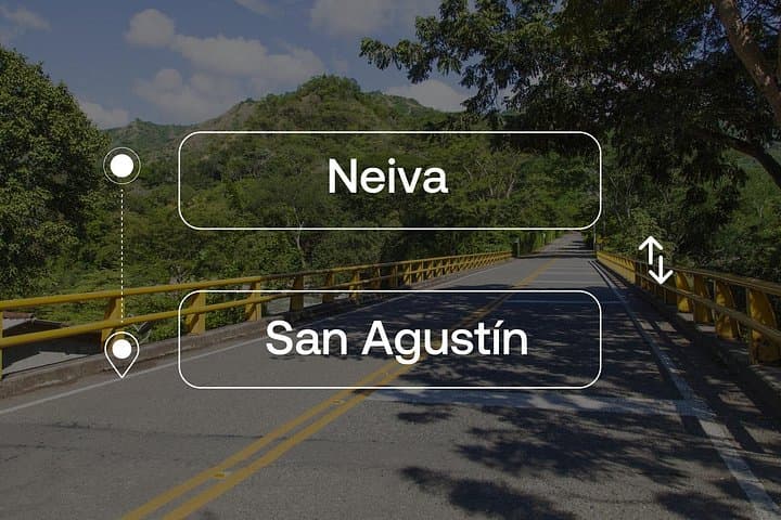
Cover the route between Neiva and San Agustín without navigation stress: a private 5‑hour transfer that climbs from Magdalena Valley lowlands into Huila’s archaeological highlands. Comfortable vehicles and experienced drivers make it a practical choice for solo travelers and small groups.
Cover the route between Neiva and San Agustín without navigation stress: a private 5‑hour transfer that climbs from Magdalena Valley lowlands into Huila’s archaeological highlands. Comfortable vehicles and experienced drivers make it a practical choice for solo travelers and small groups.
You step into an air‑conditioned car as the Magdalena valley slips away and the road climbs into green folds of the eastern Andes.
Verified experiences and guided adventures in the surrounding area.
Operated by Gran Colombia Tours · Neiva, Huila
You step into an air‑conditioned car as the Magdalena valley slips away and the road climbs into green folds of the eastern Andes.
The drive between Neiva and San Agustín takes roughly five hours and moves you from low river plains (Neiva ≈440 m) up toward the high coffee and cloud‑forest country around San Agustín (≈1,700–1,800 m) — an overall rise of about 1,200–1,400 m. The route threads paved national and secondary roads, past small towns, river crossings, and agricultural terraces; in places the highway narrows, and in others you get wide views of distant ridgelines pushing clouds along their ridges.
This corridor carries layers of history: Neiva is the departmental hub with colonial and commercial roots, while San Agustín guards one of South America’s richest pre‑Columbian archaeological landscapes, dotted with stone statues and burial mounds made by cultures that predate the Inca presence here.
Practicalities matter on this short expedition. Drivers experienced with Huila’s roads handle luggage loading and stops; vehicle size depends on group count (sedan, minivan, or van). Expect a mix of steady highway speeds and slower stretches where drivers reduce pace for curves, livestock or town centers.
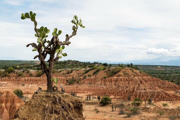
Plan for daylight travel when possible to enjoy the scenery and reduce night driving risks. Carry water, a light jacket for higher elevations, and photocopies of travel documents. If you want stops—Tatacoa Desert detours or short photo breaks near river viewpoints—ask when booking: a private transfer gives the flexibility to tailor the trip without the hassle of navigation or parking.
easy.
5 hours.
No physical exertion required beyond typical mobility for getting in/out of a vehicle.
The transfer is listed at about 5 hours door‑to‑door; actual time varies with traffic, stops, and road conditions.
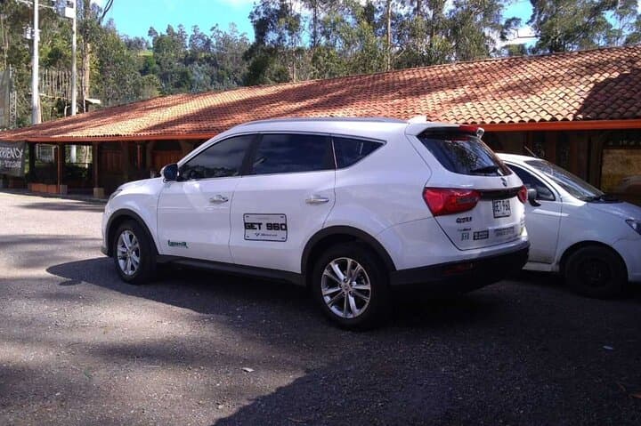
A sedan is used for 1–3 passengers, a minivan for 4–5, and a larger van for groups of six or more; luggage capacity is allocated accordingly.
Yes — as a private transfer the driver can make reasonable photo or restroom stops; longer detours should be arranged in advance and may affect total time.
Full refunds are available if you cancel at least 24 hours before the scheduled departure; same‑day cancellations are non‑refundable.
San Agustín is home to an extensive pre‑Columbian archaeological park with carved stone statues and tombs dating back more than a millennium; Neiva serves as the regional gateway with colonial and commercial history.
Respect archaeological park rules and stick to roads and marked trails; limit waste, avoid single‑use plastics when possible, and support local guides and businesses to sustain the area's fragile cultural and ecological resources.
Gran Colombia Tours operates guided outdoor trips and adventures with an emphasis on safety, stewardship, and memorable experiences.

You step into an air‑conditioned car as the Magdalena valley slips away and the road climbs into green folds of the eastern Andes.
You step into an air‑conditioned car as the Magdalena valley slips away and the road climbs into green folds of the eastern Andes.
The drive between Neiva and San Agustín takes roughly five hours and moves you from low river plains (Neiva ≈440 m) up toward the high coffee and cloud‑forest country around San Agustín (≈1,700–1,800 m) — an overall rise of about 1,200–1,400 m. The route threads paved national and secondary roads, past small towns, river crossings, and agricultural terraces; in places the highway narrows, and in others you get wide views of distant ridgelines pushing clouds along their ridges.
This corridor carries layers of history: Neiva is the departmental hub with colonial and commercial roots, while San Agustín guards one of South America’s richest pre‑Columbian archaeological landscapes, dotted with stone statues and burial mounds made by cultures that predate the Inca presence here.
Practicalities matter on this short expedition. Drivers experienced with Huila’s roads handle luggage loading and stops; vehicle size depends on group count (sedan, minivan, or van). Expect a mix of steady highway speeds and slower stretches where drivers reduce pace for curves, livestock or town centers.
Plan for daylight travel when possible to enjoy the scenery and reduce night driving risks. Carry water, a light jacket for higher elevations, and photocopies of travel documents. If you want stops—Tatacoa Desert detours or short photo breaks near river viewpoints—ask when booking: a private transfer gives the flexibility to tailor the trip without the hassle of navigation or parking.