THE ADVENTURE COLLECTIVE® · Independent discovery and booking for outdoor travel

Walk Bull Street from Forsyth Park to City Hall on this two-hour guided tour that traces Savannah’s original Oglethorpe Plan, historic squares and notable architecture. Expect paved sidewalks, film-famous squares, and detailed interpretive stops perfect for history-minded travelers.
Walk Bull Street from Forsyth Park to City Hall on this two-hour guided tour that traces Savannah’s original Oglethorpe Plan, historic squares and notable architecture. Expect paved sidewalks, film-famous squares, and detailed interpretive stops perfect for history-minded travelers.
Stand on the north edge of Forsyth Park and the city stretches north along Bull Street like a slow-moving procession of bricks, live oaks and porches that still remember earlier lives. The two-hour walk follows the spine of Savannah’s original Oglethorpe Plan, moving through Wright, Chippewa, Madison and Monterey squares while the river and the city’s low coastal plain watch quietly from the periphery.
Verified experiences and guided adventures in the surrounding area.
Operated by House of Clayton · Savannah, Georgia
Stand on the north edge of Forsyth Park and the city stretches north along Bull Street like a slow-moving procession of bricks, live oaks and porches that still remember earlier lives. The two-hour walk follows the spine of Savannah’s original Oglethorpe Plan, moving through Wright, Chippewa, Madison and Monterey squares while the river and the city’s low coastal plain watch quietly from the periphery.
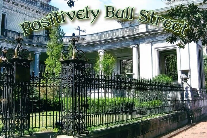
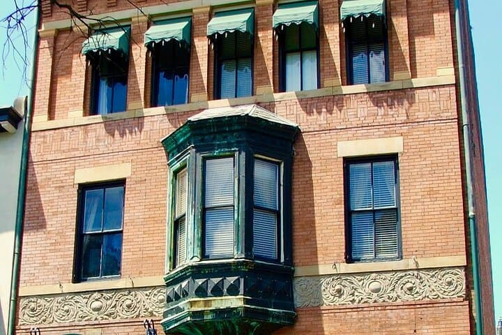
Bull Street takes its name from Colonel William Bull, an early surveyor whose lines helped shape Savannah’s grid. The route reveals layers: 18th- and 19th-century town planning, Italian Renaissance Revival mansions, and modest townhouses that speak to different economic eras. Chippewa Square shows up on film; nearby Gothic churches and civic architecture trace Savannah’s civic life from colonial port to modern tourist city.
Geology here is gentle — sandy soils, tidal creeks and a flat elevation that made the grid practical and kept the city close to the river’s commerce. Culture is public and visual: statues, memorials, and deliberately spaced squares designed for community use.
Practical guidance: expect two miles of mostly paved sidewalks, frequent stops for interpretation, and some uneven brick. The tour is wheelchair-accessible but notify organizers if mobility help is needed. Go early or late in summer to avoid heat, carry water, and wear supportive shoes; bring a camera and small bills for coffee stops.
This walk is a compact, precise way to read Savannah’s history from street level — architectural details, civic planning, and the quiet resilience of a coastal city that keeps showing up for its past.
moderate.
2 hours.
Able to walk about 2 miles on paved/brick sidewalks and stand during interpretive stops; moderate cardiovascular fitness recommended
The tour is 2 hours and covers roughly two miles along Bull Street with frequent interpretive stops at major squares and landmarks.
Yes — the tour is listed as wheelchair accessible, though some historic blocks have uneven bricks; contact organizers ahead for specific accommodations.
Comfortable shoes, water, sun protection, and your mobile ticket; small bills are useful for restroom stops or coffee near Forsyth Park.
Full refund if canceled at least 24 hours before the scheduled departure; no refund within 24 hours of the tour.
Bull Street is the central axis of the Oglethorpe Plan and was named for Colonel William Bull, a surveyor who helped lay out Savannah’s original grid of squares in the 18th century.
Savannah’s historic district is protected through local preservation ordinances; visitors are asked to stay on paths, avoid trampling greenspace and respect private property to reduce wear on historic sites.
House of Clayton operates guided outdoor trips and adventures with an emphasis on safety, stewardship, and memorable experiences.

Stand on the north edge of Forsyth Park and the city stretches north along Bull Street like a slow-moving procession of bricks, live oaks and porches that still remember earlier lives. The two-hour walk follows the spine of Savannah’s original Oglethorpe Plan, moving through Wright, Chippewa, Madison and Monterey squares while the river and the city’s low coastal plain watch quietly from the periphery.
Stand on the north edge of Forsyth Park and the city stretches north along Bull Street like a slow-moving procession of bricks, live oaks and porches that still remember earlier lives. The two-hour walk follows the spine of Savannah’s original Oglethorpe Plan, moving through Wright, Chippewa, Madison and Monterey squares while the river and the city’s low coastal plain watch quietly from the periphery.
Bull Street takes its name from Colonel William Bull, an early surveyor whose lines helped shape Savannah’s grid. The route reveals layers: 18th- and 19th-century town planning, Italian Renaissance Revival mansions, and modest townhouses that speak to different economic eras. Chippewa Square shows up on film; nearby Gothic churches and civic architecture trace Savannah’s civic life from colonial port to modern tourist city.
Geology here is gentle — sandy soils, tidal creeks and a flat elevation that made the grid practical and kept the city close to the river’s commerce. Culture is public and visual: statues, memorials, and deliberately spaced squares designed for community use.
Practical guidance: expect two miles of mostly paved sidewalks, frequent stops for interpretation, and some uneven brick. The tour is wheelchair-accessible but notify organizers if mobility help is needed. Go early or late in summer to avoid heat, carry water, and wear supportive shoes; bring a camera and small bills for coffee stops.
This walk is a compact, precise way to read Savannah’s history from street level — architectural details, civic planning, and the quiet resilience of a coastal city that keeps showing up for its past.