THE ADVENTURE COLLECTIVE® · Independent discovery and booking for outdoor travel

Drive Point Reyes with a GPS-triggered audio guide that narrates lighthouses, shipwrecks, elephant seals and coastal geology. Download offline, follow suggested itineraries, and stop where the view — or the whales — demand extra time.
Drive Point Reyes with a GPS-triggered audio guide that narrates lighthouses, shipwrecks, elephant seals and coastal geology. Download offline, follow suggested itineraries, and stop where the view — or the whales — demand extra time.
A gray Pacific morning opens up along Sir Francis Drake Boulevard: wind rakes the grass, gulls argue over a fresh catch, and the road threads through oak-lined valleys toward cliffs that dare you closer. Behind the wheel with a downloaded GuideAlong audio tour, each pullout becomes a small discovery — the lighthouse’s white tower resolving from fog, a crooked stand of Monterey cypress framing an abandoned radio station, the low roar of surf at Drakes Beach.
Verified experiences and guided adventures in the surrounding area.
Operated by GuideAlong (GyPSy Guide) · Point Reyes Station, California
A gray Pacific morning opens up along Sir Francis Drake Boulevard: wind rakes the grass, gulls argue over a fresh catch, and the road threads through oak-lined valleys toward cliffs that dare you closer. Behind the wheel with a downloaded GuideAlong audio tour, each pullout becomes a small discovery — the lighthouse’s white tower resolving from fog, a crooked stand of Monterey cypress framing an abandoned radio station, the low roar of surf at Drakes Beach.
Point Reyes has layers: a long history of Coast Miwok habitation, 19th-century ranching, and maritime rescue operations that shaped the lifeboat stations scattered along the coast. Geologically, the peninsula rides the San Andreas Fault — the landscape is a folded, uplifted slab where estuaries and tule elk pastures occupy the spaces left by tectonic motion. Local communities in Point Reyes Station and Inverness balance tourism with ranching heritage and park stewardship.
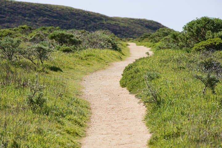
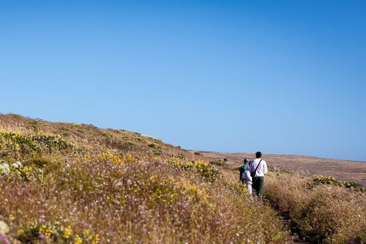
The GuideAlong tour narrates those stories as you drive, cueing context at each overlook and suggesting short hikes like Chimney Rock or Tomales Point. Practicalities matter: download the tour on reliable Wi‑Fi before leaving cell range, carry a charger, and give extra time for parking at popular viewpoints. Plan for cool, windy conditions even in summer; layered clothing and sturdy shoes make beach walks and short trails more comfortable.
This self-paced format suits photographers, families, and anyone who wants wildlife viewing and coastal history without a fixed schedule. Expect 2–3 hours for a focused loop, or stretch it into a full day by mixing short hikes and picnic stops.
easy.
2–3 hours.
Minimal driving fitness required; be prepared for short walks (15–60 minutes) and standing at overlooks.
No — you must download the GuideAlong app and the audio tour while you have service; once downloaded the GPS-triggered audio works offline.
Suggested itineraries range from about 2 to 3 hours for a focused loop; allow a half or full day if you plan short hikes and wildlife stops.
Bear Valley Visitor Center is a convenient start with parking and visitor information, but the tour is flexible and can be joined anywhere along the route.
Yes — the driving format and short stops make it family-friendly, but supervise children at cliffs and beaches and follow safety signage.
Point Reyes has long been home to Coast Miwok peoples and later gained renown for maritime rescue operations and 19th-century ranching that shaped its cultural landscape.
The National Seashore balances public access with habitat protection; stick to trails, respect seasonal closures, and pack out all trash to minimize visitor impact.
GuideAlong (GyPSy Guide) operates guided outdoor trips and adventures with an emphasis on safety, stewardship, and memorable experiences.

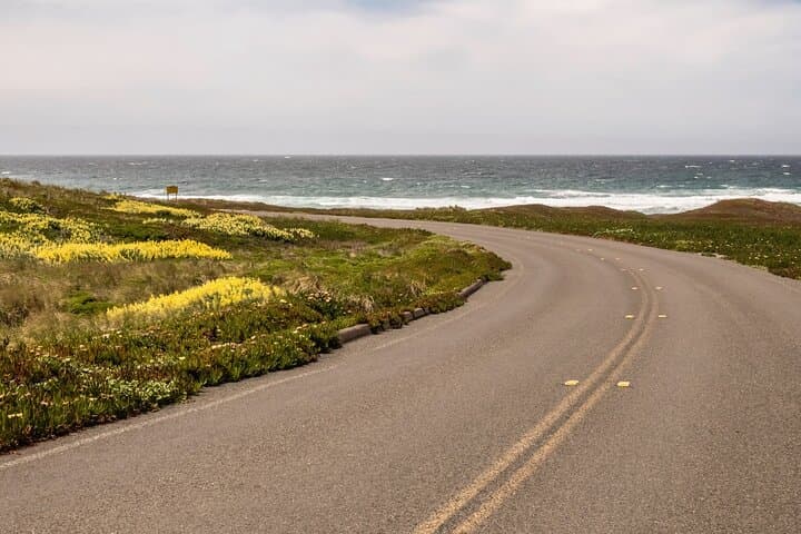
A gray Pacific morning opens up along Sir Francis Drake Boulevard: wind rakes the grass, gulls argue over a fresh catch, and the road threads through oak-lined valleys toward cliffs that dare you closer. Behind the wheel with a downloaded GuideAlong audio tour, each pullout becomes a small discovery — the lighthouse’s white tower resolving from fog, a crooked stand of Monterey cypress framing an abandoned radio station, the low roar of surf at Drakes Beach.
A gray Pacific morning opens up along Sir Francis Drake Boulevard: wind rakes the grass, gulls argue over a fresh catch, and the road threads through oak-lined valleys toward cliffs that dare you closer. Behind the wheel with a downloaded GuideAlong audio tour, each pullout becomes a small discovery — the lighthouse’s white tower resolving from fog, a crooked stand of Monterey cypress framing an abandoned radio station, the low roar of surf at Drakes Beach.
Point Reyes has layers: a long history of Coast Miwok habitation, 19th-century ranching, and maritime rescue operations that shaped the lifeboat stations scattered along the coast. Geologically, the peninsula rides the San Andreas Fault — the landscape is a folded, uplifted slab where estuaries and tule elk pastures occupy the spaces left by tectonic motion. Local communities in Point Reyes Station and Inverness balance tourism with ranching heritage and park stewardship.
The GuideAlong tour narrates those stories as you drive, cueing context at each overlook and suggesting short hikes like Chimney Rock or Tomales Point. Practicalities matter: download the tour on reliable Wi‑Fi before leaving cell range, carry a charger, and give extra time for parking at popular viewpoints. Plan for cool, windy conditions even in summer; layered clothing and sturdy shoes make beach walks and short trails more comfortable.
This self-paced format suits photographers, families, and anyone who wants wildlife viewing and coastal history without a fixed schedule. Expect 2–3 hours for a focused loop, or stretch it into a full day by mixing short hikes and picnic stops.