THE ADVENTURE COLLECTIVE® · Independent discovery and booking for outdoor travel

Ascend Santiago Island’s highest point on a demanding 9 km route that climbs through volcanic ridges, farms and native shrub. This guided hike from Monte Tchota finishes at Pico D’Antónia with sweeping views — ideal for fit walkers seeking real mountain terrain in Cape Verde.
Ascend Santiago Island’s highest point on a demanding 9 km route that climbs through volcanic ridges, farms and native shrub. This guided hike from Monte Tchota finishes at Pico D’Antónia with sweeping views — ideal for fit walkers seeking real mountain terrain in Cape Verde.
A narrow track rises out of terraced fields and small volcanic ridges, the air thinning as hikers push toward Santiago Island’s high crown. Early light cuts across corn and coffee plots; the scrub dares you forward and the trail pulls you into Monte Tchota Natural Park. Reach the summit and, on a clear day, Fogo’s distant cone appears like a low, smoking island on the horizon.
Verified experiences and guided adventures in the surrounding area.
Operated by Bu Country Tours · Praia, Santiago
A narrow track rises out of terraced fields and small volcanic ridges, the air thinning as hikers push toward Santiago Island’s high crown. Early light cuts across corn and coffee plots; the scrub dares you forward and the trail pulls you into Monte Tchota Natural Park. Reach the summit and, on a clear day, Fogo’s distant cone appears like a low, smoking island on the horizon.
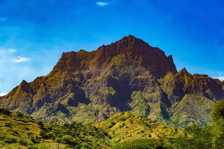
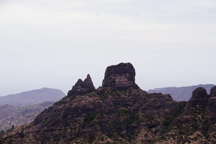
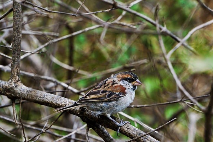
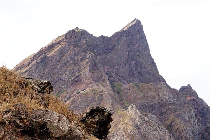
Geology here is raw: eroded basalt slopes carved by ancient flows and persistent trade winds. Human history threads the route — small stone houses, coffee terraces and Longueira’s mountain hamlets reflect centuries of subsistence farming adapted to steep, stony ground. Endemic plants and island birds populate the ridge; guides will point out local species and explain how agriculture shaped the slopes.
Practical guidance is straightforward. The full route runs roughly 9 km one-way, with about 660 m of ascent to Pico D'Antónia (1,394 m) and a steeper descent through agricultural terraces. Expect narrow, rocky paths and occasional level‑1 scrambling; allow 4–5 hours walking time plus stops. Carry at least 2–3 liters of water, layered clothing for wind and sun exposure, sturdy boots, and a lightweight shell for sudden weather shifts. The tour usually includes private transport from Praia, a guide, and snacks; it’s best for fit walkers over 16. Respect private plots and local families encountered on the descent — they’re part of the route, not a backdrop. Timing hikes for morning starts gives the best visibility and cooler conditions. With proper gear and respect for the land, this is one of Santiago’s most rewarding highland hikes.
difficult.
4–5 hours (hiking time).
Requires high level of cardiovascular fitness and stamina for steady uphill and steep descents
The full outing covers about 9 km of walking with roughly 660 m of ascent, typically taking 4–5 hours of hiking time plus transport and breaks.
No — the route is rated difficult with narrow, rocky sections and some level‑1 scrambling; it’s best for fit walkers with hiking experience.
Yes — the tour generally includes private transport with pickup and drop‑off in Praia and nearby accommodations.
On clear days you can see panoramic views across Santiago and the distinct silhouette of Fogo’s stratovolcano on the horizon; visibility depends on weather.
The slopes around Pico D'Antónia have long supported smallholders who carved terraces for maize, coffee and fruit, shaping the island’s cultural landscape over centuries.
Stick to established paths and avoid disturbing terraces; local guides emphasize low‑impact visits to protect endemic plants and fragile soils.
Bu Country Tours operates guided outdoor trips and adventures with an emphasis on safety, stewardship, and memorable experiences.
A narrow track rises out of terraced fields and small volcanic ridges, the air thinning as hikers push toward Santiago Island’s high crown. Early light cuts across corn and coffee plots; the scrub dares you forward and the trail pulls you into Monte Tchota Natural Park. Reach the summit and, on a clear day, Fogo’s distant cone appears like a low, smoking island on the horizon.
A narrow track rises out of terraced fields and small volcanic ridges, the air thinning as hikers push toward Santiago Island’s high crown. Early light cuts across corn and coffee plots; the scrub dares you forward and the trail pulls you into Monte Tchota Natural Park. Reach the summit and, on a clear day, Fogo’s distant cone appears like a low, smoking island on the horizon.
Geology here is raw: eroded basalt slopes carved by ancient flows and persistent trade winds. Human history threads the route — small stone houses, coffee terraces and Longueira’s mountain hamlets reflect centuries of subsistence farming adapted to steep, stony ground. Endemic plants and island birds populate the ridge; guides will point out local species and explain how agriculture shaped the slopes.
Practical guidance is straightforward. The full route runs roughly 9 km one-way, with about 660 m of ascent to Pico D'Antónia (1,394 m) and a steeper descent through agricultural terraces. Expect narrow, rocky paths and occasional level‑1 scrambling; allow 4–5 hours walking time plus stops. Carry at least 2–3 liters of water, layered clothing for wind and sun exposure, sturdy boots, and a lightweight shell for sudden weather shifts. The tour usually includes private transport from Praia, a guide, and snacks; it’s best for fit walkers over 16. Respect private plots and local families encountered on the descent — they’re part of the route, not a backdrop. Timing hikes for morning starts gives the best visibility and cooler conditions. With proper gear and respect for the land, this is one of Santiago’s most rewarding highland hikes.