THE ADVENTURE COLLECTIVE® · Independent discovery and booking for outdoor travel

A full-day ridge hike to Perda Liana and Pitzu Margiani Pubusa explores Ogliastra’s dramatic limestone Tacchi and sweeping highland views. Expect rocky terrain, steady climbs and a strong dose of Sardinian geology and shepherding history.
A full-day ridge hike to Perda Liana and Pitzu Margiani Pubusa explores Ogliastra’s dramatic limestone Tacchi and sweeping highland views. Expect rocky terrain, steady climbs and a strong dose of Sardinian geology and shepherding history.
A wind-swept ridge opens before you: limestone towers—Tacchi—rise like the ribs of an older coastline, shadows sliding down fluted faces as you climb. The trail gains steady contour, moving through low maquis, scattered cork oaks and exposed karst pavement until the slopes give way to the broad summit of Perda Liana at about 1,293 m. From there the horizon reads like a map: Gennargentu’s serrated mass to the west, the folded ridges of Barbagia to the northwest, and the softer hills of Ogliastra descending toward the sea.
Verified experiences and guided adventures in the surrounding area.
Operated by Go Comida - Experience Sardinia · Osini, Sardinia
A wind-swept ridge opens before you: limestone towers—Tacchi—rise like the ribs of an older coastline, shadows sliding down fluted faces as you climb. The trail gains steady contour, moving through low maquis, scattered cork oaks and exposed karst pavement until the slopes give way to the broad summit of Perda Liana at about 1,293 m. From there the horizon reads like a map: Gennargentu’s serrated mass to the west, the folded ridges of Barbagia to the northwest, and the softer hills of Ogliastra descending toward the sea.
Geology here is legible: millions of years of karst erosion carved these isolated towers and sink hollows. Archaeology and culture thread in small ways—scattered nuraghi and pastoral huts speak to Sardinia’s Bronze Age past and a continuing shepherding tradition. Local guides often point out how the stone itself shaped settlement and movement across these uplands.
Practical guidance: expect roughly 7 hours on the trail with several sustained ascents; total elevation reaches about 1,300–1,325 m at the highest viewpoint. Terrain alternates rocky ledges, loose scree and compact dirt; good traction is essential. Water sources are scarce—carry at least 2–3 liters per person in summer. Weather changes fast above 1,000 m: start early to avoid mid-day wind and check forecasts for convective storms.
A certified regional guide typically accompanies this route, adding local route-finding and cultural context. Plan footwear, sun protection and layered insulation; give yourself time at the summits to watch light move across the Tacchi before descending back into the maquis.
moderate.
6–7 hours.
Suitable for hikers with steady endurance; you should be comfortable with sustained uphill hiking and uneven terrain.
The guided excursion is typically a full day—about 6–7 hours on trail, including summit stops and return transfers.
A certified regional guide commonly leads these trips; they aid navigation and interpret geology and local history.
Expect limestone rock, karst pavements, narrow ridgelines and sections of loose scree; the route is uneven but non-technical.
Late spring and early autumn offer mild temperatures and lower wildfire risk; start early in summer to avoid heat and afternoon storms.
The Tacchi are karst remnants shaped over millions of years; nearby landscape contains Nuragic-age remains that reflect long-standing pastoral use.
Stay on established trails to protect fragile karst vegetation and prevent erosion; follow local guidance about grazing areas and avoid disturbing wildlife.
Go Comida - Experience Sardinia operates guided outdoor trips and adventures with an emphasis on safety, stewardship, and memorable experiences.
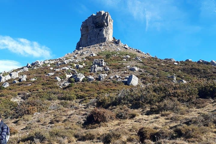
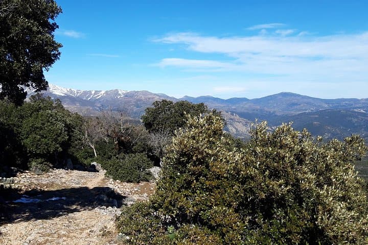
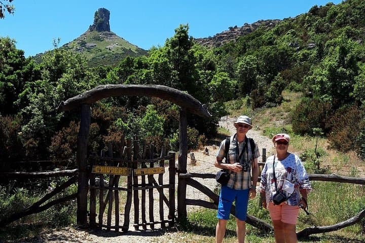
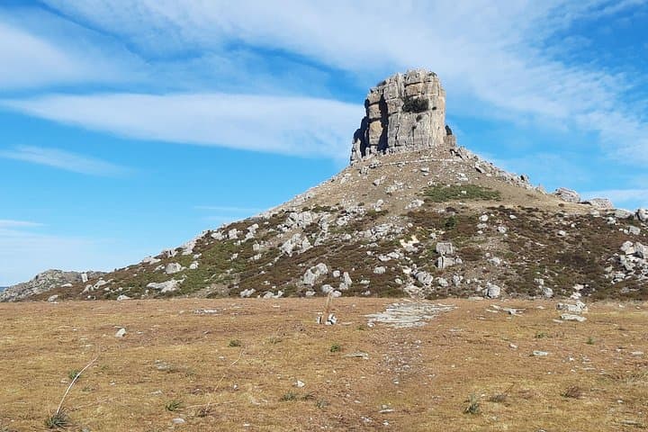
A wind-swept ridge opens before you: limestone towers—Tacchi—rise like the ribs of an older coastline, shadows sliding down fluted faces as you climb. The trail gains steady contour, moving through low maquis, scattered cork oaks and exposed karst pavement until the slopes give way to the broad summit of Perda Liana at about 1,293 m. From there the horizon reads like a map: Gennargentu’s serrated mass to the west, the folded ridges of Barbagia to the northwest, and the softer hills of Ogliastra descending toward the sea.
A wind-swept ridge opens before you: limestone towers—Tacchi—rise like the ribs of an older coastline, shadows sliding down fluted faces as you climb. The trail gains steady contour, moving through low maquis, scattered cork oaks and exposed karst pavement until the slopes give way to the broad summit of Perda Liana at about 1,293 m. From there the horizon reads like a map: Gennargentu’s serrated mass to the west, the folded ridges of Barbagia to the northwest, and the softer hills of Ogliastra descending toward the sea.
Geology here is legible: millions of years of karst erosion carved these isolated towers and sink hollows. Archaeology and culture thread in small ways—scattered nuraghi and pastoral huts speak to Sardinia’s Bronze Age past and a continuing shepherding tradition. Local guides often point out how the stone itself shaped settlement and movement across these uplands.
Practical guidance: expect roughly 7 hours on the trail with several sustained ascents; total elevation reaches about 1,300–1,325 m at the highest viewpoint. Terrain alternates rocky ledges, loose scree and compact dirt; good traction is essential. Water sources are scarce—carry at least 2–3 liters per person in summer. Weather changes fast above 1,000 m: start early to avoid mid-day wind and check forecasts for convective storms.
A certified regional guide typically accompanies this route, adding local route-finding and cultural context. Plan footwear, sun protection and layered insulation; give yourself time at the summits to watch light move across the Tacchi before descending back into the maquis.