THE ADVENTURE COLLECTIVE® · Independent discovery and booking for outdoor travel

Spend a day learning map and compass basics in the Peak District. This field-focused course pairs classroom basics with hands-on navigation across moorland and gritstone edges to build confident, independent walkers.
Spend a day learning map and compass basics in the Peak District. This field-focused course pairs classroom basics with hands-on navigation across moorland and gritstone edges to build confident, independent walkers.
You step out of the minibus into wind that seems to check your pockets for certainty before carrying on across the moor. Heather and short grass ripple under a wide sky; gritstone edges puncture the horizon and the map on your lap suddenly matters. The training day begins at The Adventure Hub before you walk onto open fell where contours and stone walls tell the landscape's story.
Verified experiences and guided adventures in the surrounding area.
Operated by Pure Outdoor Ltd · Hope Valley, Derbyshire
You step out of the minibus into wind that seems to check your pockets for certainty before carrying on across the moor. Heather and short grass ripple under a wide sky; gritstone edges puncture the horizon and the map on your lap suddenly matters. The training day begins at The Adventure Hub before you walk onto open fell where contours and stone walls tell the landscape's story.
The Peak District was Britain’s first national park and its patterns of dry stone walls, packhorse trails and old lead mines reflect centuries of rural life. Geology here is honest—gritstone plateaus and limestone dales shaped by ice and water—and that physical memory helps when you learn to read contours, pick handrails and choose compass bearings.
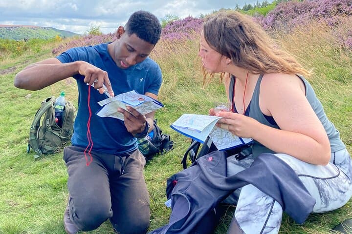
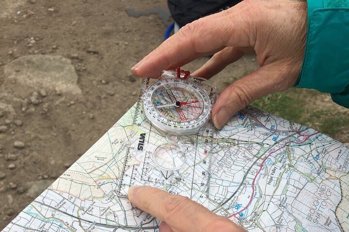
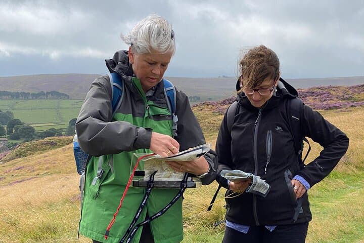
Instructors use practical field exercises: plotting grid references, measuring distance by pace and identifying features from a map. You’ll practice setting a compass from a contour line, relocating from a feature, and interpreting rights of way on OS maps. The course balances classroom fundamentals with repeated, short navigational legs across differing terrain so that skills sink in.
Practical takeaways are immediate: know how to orient an OS map, estimate time and distance on moorland, and make simple route decisions if weather closes in. Expect variable underfoot conditions—boggy patches, short heather and stony tracks—and plan for changing weather. This is a one-day course aimed at turning uncertainty into usable skills so you can head out on self-guided walks with confidence.
easy.
6–8 hours.
Suitable for people with basic fitness who can walk several kilometers across uneven ground; no special endurance required.
No — the course is designed for beginners and covers fundamentals such as scales, grid references and basic compass use.
Instructors usually provide tools for teaching, but you should bring your own map and compass to practice independently afterwards.
Groups are kept small (typically under 8 participants) to allow one-on-one instruction and supervised practice in the field.
Yes if they can comfortably walk over uneven ground for several kilometers; check with the operator about age limits or specific accessibility needs.
The Peak District’s network of packhorse routes and lead-mining sites dates back centuries and influenced modern public rights of way and trackways used during training.
Stick to established paths where possible; Moorland restoration and peatland projects are underway in parts of the park, and low-impact travel helps protect sensitive vegetation.
Pure Outdoor Ltd operates guided outdoor trips and adventures with an emphasis on safety, stewardship, and memorable experiences.
You step out of the minibus into wind that seems to check your pockets for certainty before carrying on across the moor. Heather and short grass ripple under a wide sky; gritstone edges puncture the horizon and the map on your lap suddenly matters. The training day begins at The Adventure Hub before you walk onto open fell where contours and stone walls tell the landscape's story.
You step out of the minibus into wind that seems to check your pockets for certainty before carrying on across the moor. Heather and short grass ripple under a wide sky; gritstone edges puncture the horizon and the map on your lap suddenly matters. The training day begins at The Adventure Hub before you walk onto open fell where contours and stone walls tell the landscape's story.
The Peak District was Britain’s first national park and its patterns of dry stone walls, packhorse trails and old lead mines reflect centuries of rural life. Geology here is honest—gritstone plateaus and limestone dales shaped by ice and water—and that physical memory helps when you learn to read contours, pick handrails and choose compass bearings.
Instructors use practical field exercises: plotting grid references, measuring distance by pace and identifying features from a map. You’ll practice setting a compass from a contour line, relocating from a feature, and interpreting rights of way on OS maps. The course balances classroom fundamentals with repeated, short navigational legs across differing terrain so that skills sink in.
Practical takeaways are immediate: know how to orient an OS map, estimate time and distance on moorland, and make simple route decisions if weather closes in. Expect variable underfoot conditions—boggy patches, short heather and stony tracks—and plan for changing weather. This is a one-day course aimed at turning uncertainty into usable skills so you can head out on self-guided walks with confidence.