THE ADVENTURE COLLECTIVE® · Independent discovery and booking for outdoor travel

A full-day drive-and-hike that reaches Palccoyo’s colorful ridgeline at nearly 4,900 m with a short 1.5 km walk. Expect high-altitude scenery, stone forests, and cultural stops in Checacupe and Combapata.
A full-day drive-and-hike that reaches Palccoyo’s colorful ridgeline at nearly 4,900 m with a short 1.5 km walk. Expect high-altitude scenery, stone forests, and cultural stops in Checacupe and Combapata.
An hour before dawn the minibus slips out of Cusco and the high puna opens like a coarse blanket. By the time you reach the rippled ridgelines the sun is cleaving the cold air; the layered colors of Palccoyo—burnt ochres, rust reds, and minty greens—stand flat and honest against a wide Andean sky. The short approach is steep in places but direct: about 1.5 km of high-altitude walking to a viewpoint at roughly 4,900 m.
Verified experiences and guided adventures in the surrounding area.
Operated by Tour Machu picchu best · Cusco, Cusco
An hour before dawn the minibus slips out of Cusco and the high puna opens like a coarse blanket. By the time you reach the rippled ridgelines the sun is cleaving the cold air; the layered colors of Palccoyo—burnt ochres, rust reds, and minty greens—stand flat and honest against a wide Andean sky. The short approach is steep in places but direct: about 1.5 km of high-altitude walking to a viewpoint at roughly 4,900 m.
This route threads through volcanic sediments and glacial till; the stripes you see are iron, copper, and manganese oxides laid down and exposed by millennia of uplift and erosion. The tour often includes the stone forest on the way up and a stop at Checacupe to see both an Inca bridge and the colonial arch that later engineers built alongside it—small reminders of continuity on landscape and travel routes.
Local Quechua communities graze llamas and vicuñas here; you’ll likely pass shepherds mending fences or offering coca leaves for altitude relief. Weather is decisive—afternoon winds and quick squalls can change visibility.
Practical edge: plan for altitude, not distance. Move deliberately, sip water steadily, and wear a solid outer shell—the sun is fierce and the wind cuts. Carry cash for small vendors in Combapata or Checacupe and keep plastics packed out. Expect a full 12-hour day with pickup around 4–5 a.m. and return to Cusco in the evening. With moderate fitness and a slow pace, the short trail rewards you with open views, geological clarity, and an unmistakable sense of place in the high Andes.
moderate.
12 hours.
Moderate cardiovascular fitness and ability to walk uphill at high altitude; no technical climbing required.
The path is short (~1.5 km) but climbs to about 4,900 m; fitness should be moderate and you should be comfortable walking uphill at altitude.
Yes—spend 24–48 hours in Cusco and avoid heavy exertion beforehand; consider coca leaves or medication if prone to altitude sickness.
The dry season (May–September) offers the clearest skies and firmer trails; the wet season (November–March) brings greener scenery but more mud and clouds.
Basic facilities and small food options exist in Combapata and at the trailhead; bring water and snacks for the hike itself.
The route follows Andean travel corridors used since Inca times; Checacupe preserves both an Inca-built bridge and the later colonial span beside it.
The puna ecosystem is fragile—stay on marked paths, pack out waste, and avoid feeding wildlife to minimize impact.
Tour Machu picchu best operates guided outdoor trips and adventures with an emphasis on safety, stewardship, and memorable experiences.
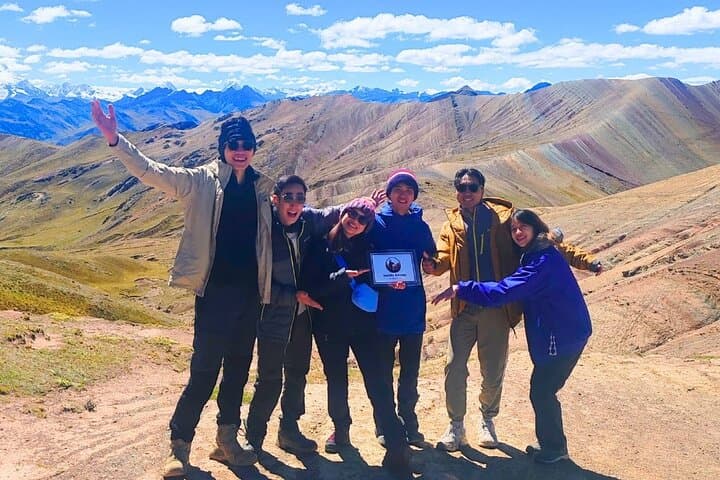
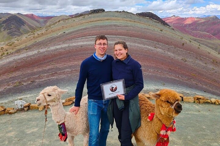
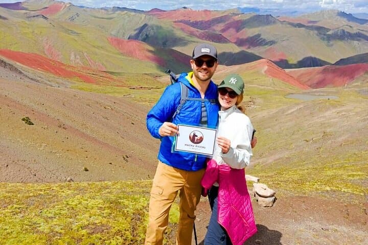
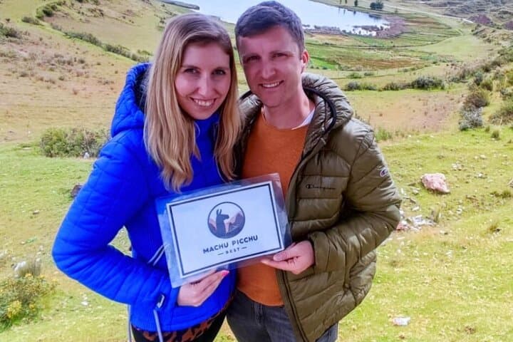
An hour before dawn the minibus slips out of Cusco and the high puna opens like a coarse blanket. By the time you reach the rippled ridgelines the sun is cleaving the cold air; the layered colors of Palccoyo—burnt ochres, rust reds, and minty greens—stand flat and honest against a wide Andean sky. The short approach is steep in places but direct: about 1.5 km of high-altitude walking to a viewpoint at roughly 4,900 m.
An hour before dawn the minibus slips out of Cusco and the high puna opens like a coarse blanket. By the time you reach the rippled ridgelines the sun is cleaving the cold air; the layered colors of Palccoyo—burnt ochres, rust reds, and minty greens—stand flat and honest against a wide Andean sky. The short approach is steep in places but direct: about 1.5 km of high-altitude walking to a viewpoint at roughly 4,900 m.
This route threads through volcanic sediments and glacial till; the stripes you see are iron, copper, and manganese oxides laid down and exposed by millennia of uplift and erosion. The tour often includes the stone forest on the way up and a stop at Checacupe to see both an Inca bridge and the colonial arch that later engineers built alongside it—small reminders of continuity on landscape and travel routes.
Local Quechua communities graze llamas and vicuñas here; you’ll likely pass shepherds mending fences or offering coca leaves for altitude relief. Weather is decisive—afternoon winds and quick squalls can change visibility.
Practical edge: plan for altitude, not distance. Move deliberately, sip water steadily, and wear a solid outer shell—the sun is fierce and the wind cuts. Carry cash for small vendors in Combapata or Checacupe and keep plastics packed out. Expect a full 12-hour day with pickup around 4–5 a.m. and return to Cusco in the evening. With moderate fitness and a slow pace, the short trail rewards you with open views, geological clarity, and an unmistakable sense of place in the high Andes.