THE ADVENTURE COLLECTIVE® · Independent discovery and booking for outdoor travel

A four-day self-guided sea kayak and wildcamp trip through the Saint Anna Archipelago lets you map your own route across a dense maze of islands. Expect sheltered bays, open skerries, supplied top-tier gear and simple island history.
A four-day self-guided sea kayak and wildcamp trip through the Saint Anna Archipelago lets you map your own route across a dense maze of islands. Expect sheltered bays, open skerries, supplied top-tier gear and simple island history.
A low morning sun paints the timbered boathouses as you push off from a sheltered bay; the first paddle strokes pull you into a maze of rocky skerries and forested islets. The Saint Anna Archipelago stretches outward in tight clusters — sheltered interior channels that open to bleak outer islets where waves shape the bedrock — and on a four-day self-guided trip you choose how far to go each day.
Verified experiences and guided adventures in the surrounding area.
Operated by Do the North AB · Saint Anna, Östergötland
A low morning sun paints the timbered boathouses as you push off from a sheltered bay; the first paddle strokes pull you into a maze of rocky skerries and forested islets. The Saint Anna Archipelago stretches outward in tight clusters — sheltered interior channels that open to bleak outer islets where waves shape the bedrock — and on a four-day self-guided trip you choose how far to go each day.
Geology here is Baltic Shield granite worn by ice and sea, leaving smooth rock slabs and shallow bays. Human history is present in wooden fishing cabins, small chapels and grassy field clearings where families once grazed sheep; island life balanced fishing, navigation and seasonal agriculture for centuries. Cultural markers — simple stone cairns, boathouse rows and lobster pots — sit beside rich seabird colonies that claim the outer skerries.
Practically, expect daily paddling of roughly 8–20 km depending on wind and route, with minimal elevation but frequent short carries onto campsites. Navigation is straightforward with markers and charted channels, but conditions can change: wind can funnel between islands and open-sea stretches expose you to swell. The trip supplies top-tier sea kayaks, drybags, camp and cooking gear, a detailed guidebook and 24/7 support; groceries can be pre-packed for you.
Plan flexible itineraries, aim for sheltered evening camps when winds rise, and pack layered waterproof clothing. Footwear should handle slippery rocks and cold water. Respect nesting birds, camp only where allowed, and carry a charged phone or VHF for weather updates — the archipelago rewards slow, observant travel with quiet coves, seal sightings and long sea-light evenings.
moderate.
4 days.
Suitable for paddlers in reasonable aerobic condition; ability to paddle 8–20 km per day and perform basic rescues is helpful.
No — the trip is suitable for beginners, but basic paddling competence and willingness to learn navigation and safety during the briefing are expected.
Wildcamping is permitted on most uninhabited islands but follow local rules: use established sites where present, avoid sensitive nesting areas and check fire regulations before lighting any fire.
You receive a cell phone preloaded for weather updates and 24/7 support; briefings cover navigation, local hazards and emergency procedures.
Return transport between Norrköping and Saint Anna is included as part of the package described by the operator.
The archipelago has long supported fishing, small-scale boatbuilding and seasonal island farming; many islands show traces of past habitation in boathouses and stone enclosures.
Islands are ecologically sensitive — stick to durable surfaces, pack out all waste and avoid disturbing nesting birds to minimize impact.
Do the North AB operates guided outdoor trips and adventures with an emphasis on safety, stewardship, and memorable experiences.
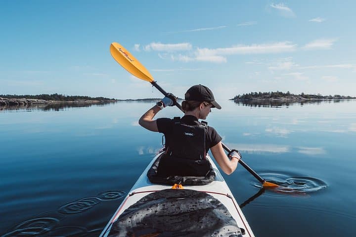
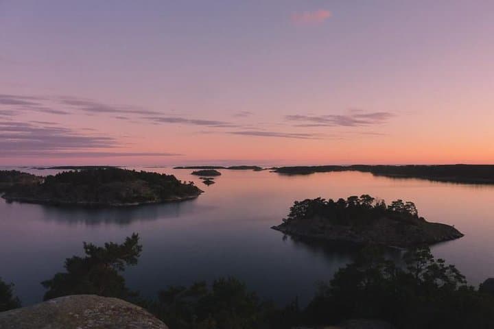
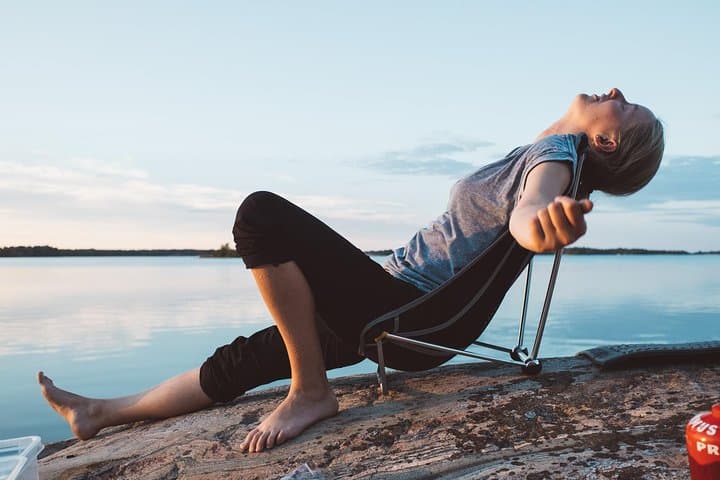
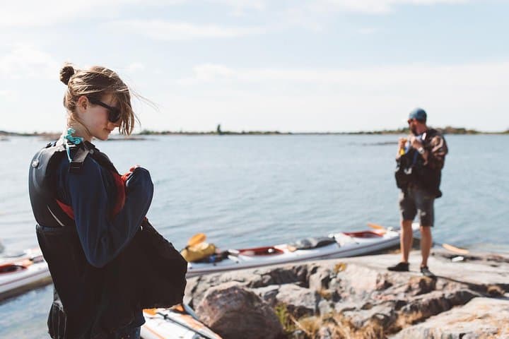
A low morning sun paints the timbered boathouses as you push off from a sheltered bay; the first paddle strokes pull you into a maze of rocky skerries and forested islets. The Saint Anna Archipelago stretches outward in tight clusters — sheltered interior channels that open to bleak outer islets where waves shape the bedrock — and on a four-day self-guided trip you choose how far to go each day.
A low morning sun paints the timbered boathouses as you push off from a sheltered bay; the first paddle strokes pull you into a maze of rocky skerries and forested islets. The Saint Anna Archipelago stretches outward in tight clusters — sheltered interior channels that open to bleak outer islets where waves shape the bedrock — and on a four-day self-guided trip you choose how far to go each day.
Geology here is Baltic Shield granite worn by ice and sea, leaving smooth rock slabs and shallow bays. Human history is present in wooden fishing cabins, small chapels and grassy field clearings where families once grazed sheep; island life balanced fishing, navigation and seasonal agriculture for centuries. Cultural markers — simple stone cairns, boathouse rows and lobster pots — sit beside rich seabird colonies that claim the outer skerries.
Practically, expect daily paddling of roughly 8–20 km depending on wind and route, with minimal elevation but frequent short carries onto campsites. Navigation is straightforward with markers and charted channels, but conditions can change: wind can funnel between islands and open-sea stretches expose you to swell. The trip supplies top-tier sea kayaks, drybags, camp and cooking gear, a detailed guidebook and 24/7 support; groceries can be pre-packed for you.
Plan flexible itineraries, aim for sheltered evening camps when winds rise, and pack layered waterproof clothing. Footwear should handle slippery rocks and cold water. Respect nesting birds, camp only where allowed, and carry a charged phone or VHF for weather updates — the archipelago rewards slow, observant travel with quiet coves, seal sightings and long sea-light evenings.