THE ADVENTURE COLLECTIVE® · Independent discovery and booking for outdoor travel

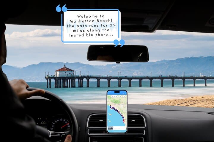
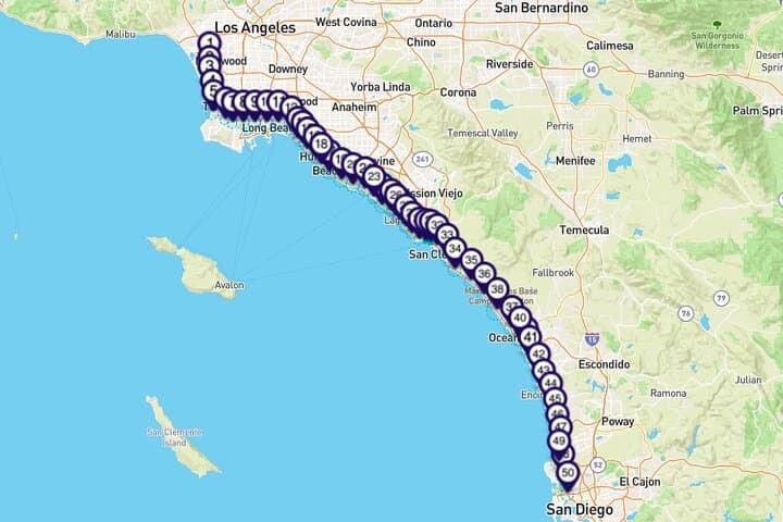
Drive the Pacific Coast Highway with an offline audio guide that narrates history, geology and coastal culture between Los Angeles and San Diego. Flexible stops let you linger at piers, reserves and scenic overlooks while the app cues commentary automatically.
Drive the Pacific Coast Highway with an offline audio guide that narrates history, geology and coastal culture between Los Angeles and San Diego. Flexible stops let you linger at piers, reserves and scenic overlooks while the app cues commentary automatically.
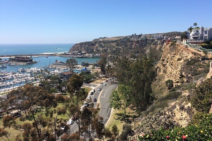
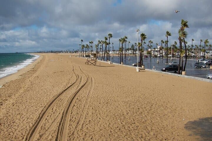
You pull onto Highway 1 with the Pacific at your right, surf glinting like a dare. The engine settles into a steady hum and an app in your pocket starts narrating: shipwrecks, surf culture, and towns that grew around railroads and oil. Waves seem to tug at the cliffs while gulls argue over kelp — the coast has a voice of its own.
Verified experiences and guided adventures in the surrounding area.
Operated by Tripvia Tours · San Diego, California
You pull onto Highway 1 with the Pacific at your right, surf glinting like a dare. The engine settles into a steady hum and an app in your pocket starts narrating: shipwrecks, surf culture, and towns that grew around railroads and oil. Waves seem to tug at the cliffs while gulls argue over kelp — the coast has a voice of its own.
Geology here is visible and blunt: uplifted sandstone bluffs, tide-pounded headlands, and pocket beaches that record sea level and storms. European contact, Mexican land grants and later 20th‑century tourism reshaped settlements from Long Beach through Laguna to San Diego; the RMS Queen Mary and Louis Zamperini are stop‑light echoes in that history. The corridor mixes working harbors, protected reserves and neighborhoods where surfers and families trade the shoreline.
Practical side: this is a flexible, driving audio tour — you control stops and pace. Download the Tripvia Tours app and the PACH55 route before you go; the guide uses GPS so commentary cues play automatically without data once downloaded. Plan for 4–5 hours of driving time without long detours, more if you explore state parks or piers. Expect easy roadside stops for viewpoints and short walks; some beach access requires stairs or soft sand.
Timing, logistics and etiquette matter: arrive early at popular vista points to find parking, respect protected habitats (stay on trails), and keep fuel and phone battery topped up. Bring layers — ocean wind will remind you why coastal afternoons need them.
easy.
4–5 hours (without extended stops).
Minimal fitness required for driving; light walking and stairs at many viewpoints — comfortable mobility helps.
No — download the Tripvia Tours app and the PACH55 tour over Wi‑Fi; commentary plays via GPS without using mobile data once downloaded.
Yes — the tour is designed to be driven in either direction and the commentary cues are location‑based.
Many public vista points and boardwalks are wheelchair accessible, but some beach accesses have stairs or soft sand — check individual stop details in the app.
The core drive is 4–5 hours, but allow extra time (1–3 hours) for popular detours like Torrey Pines, Crystal Cove or Balboa Peninsula to explore trails and beaches.
The route traces Indigenous lands later parcelled under Spanish and Mexican rule; 20th‑century rail and oil industry booms shaped many coastal towns and harbors.
Several segments run adjacent to protected reserves (e.g., Torrey Pines); stay on designated trails, pack out trash, and avoid disturbing tidepool habitats.
Tripvia Tours operates guided outdoor trips and adventures with an emphasis on safety, stewardship, and memorable experiences.
You pull onto Highway 1 with the Pacific at your right, surf glinting like a dare. The engine settles into a steady hum and an app in your pocket starts narrating: shipwrecks, surf culture, and towns that grew around railroads and oil. Waves seem to tug at the cliffs while gulls argue over kelp — the coast has a voice of its own.
You pull onto Highway 1 with the Pacific at your right, surf glinting like a dare. The engine settles into a steady hum and an app in your pocket starts narrating: shipwrecks, surf culture, and towns that grew around railroads and oil. Waves seem to tug at the cliffs while gulls argue over kelp — the coast has a voice of its own.
Geology here is visible and blunt: uplifted sandstone bluffs, tide-pounded headlands, and pocket beaches that record sea level and storms. European contact, Mexican land grants and later 20th‑century tourism reshaped settlements from Long Beach through Laguna to San Diego; the RMS Queen Mary and Louis Zamperini are stop‑light echoes in that history. The corridor mixes working harbors, protected reserves and neighborhoods where surfers and families trade the shoreline.
Practical side: this is a flexible, driving audio tour — you control stops and pace. Download the Tripvia Tours app and the PACH55 route before you go; the guide uses GPS so commentary cues play automatically without data once downloaded. Plan for 4–5 hours of driving time without long detours, more if you explore state parks or piers. Expect easy roadside stops for viewpoints and short walks; some beach access requires stairs or soft sand.
Timing, logistics and etiquette matter: arrive early at popular vista points to find parking, respect protected habitats (stay on trails), and keep fuel and phone battery topped up. Bring layers — ocean wind will remind you why coastal afternoons need them.