THE ADVENTURE COLLECTIVE® · Independent discovery and booking for outdoor travel

A compact, guided hike from Antigua across solidified lava to panoramic views of Guatemala’s volcanic chain. Expect uneven volcanic rock, steam vents, and a chance to roast marshmallows in designated hot spots.
A compact, guided hike from Antigua across solidified lava to panoramic views of Guatemala’s volcanic chain. Expect uneven volcanic rock, steam vents, and a chance to roast marshmallows in designated hot spots.
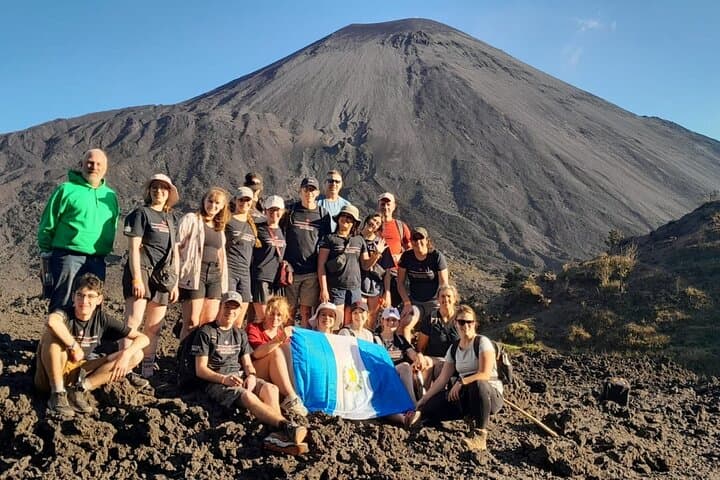
A low cloud thins as the minivan winds away from Antigua and the silhouette of Pacaya grows, a dark cone daring you forward.
Verified experiences and guided adventures in the surrounding area.
Operated by Ruta Ideal · Antigua Guatemala, Sacatepéquez
A low cloud thins as the minivan winds away from Antigua and the silhouette of Pacaya grows, a dark cone daring you forward.
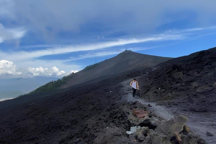
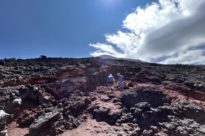
The guided hike moves from shaded trails into open volcanic rock, the forest falling away and leaving a moonscape of black basalt and glassy flows. Walkers trade the hush of pines for the sibilant breath of fumaroles; steam slips through crevices and the heat underfoot warns of the volcano’s restive temperament.
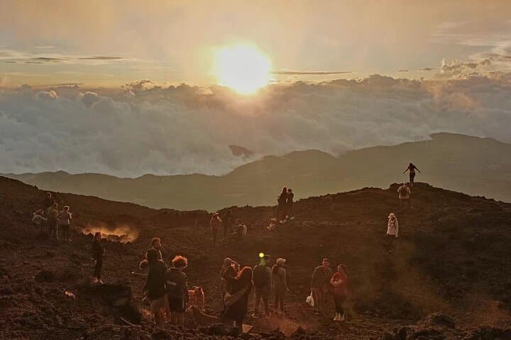
Pacaya is geologically young — an active stratovolcano shaped by repeated eruptions that laid fresh lobes of lava across older slopes. From viewpoints on the plateau the panorama includes Agua, Fuego and Acatenango, each with its own eruption history and cultural ties to Maya and colonial-era communities who read the mountains as weather forecasters and spiritual markers.
Practical guidance is simple: expect uneven, sharp volcanic rock underfoot and fluctuating temperatures between wooded approaches and exposed lava fields. The typical guided outing from Antigua includes hotel pickup, roughly 45–120 minutes of uphill hiking depending on pace, time on the plateau for photos and marshmallow roasting in designated areas, then a steady descent and return to town.
Hydrate before you start, bring low-profile boots with good tread, and give heavy cameras a secure case — dust and grit are everywhere. Afternoon clouds and brief showers are common in the wet season; mornings are clearer for views. Respect ranger boundaries: some areas are still active and are off-limits for safety. The hike is compact but memorable — a direct encounter with recent geology and a Himalayan-like intimacy with earth that’s still reshaping itself.
moderate.
4–6 hours.
Moderately fit: should be comfortable hiking uphill for up to 2 hours on uneven terrain and descending on loose rock.
Door-to-door tours are typically 4–6 hours; the uphill walking portion is usually 45–120 minutes depending on pace and the chosen endpoint on the plateau.
Guides lead you to hardened lava fields and designated areas; avoid any spots fenced off by rangers — recent flows can be unstable and dangerously hot beneath the surface.
This tour is not recommended for pregnant travelers and children should be strong walkers; check with the operator about age limits and fitness requirements before booking.
Morning hikes generally offer clearer skies and cooler temperatures; afternoon trips may be cloudier in the wet season but can be better for seeing steam vents after the day warms the rock.
Pacaya has erupted repeatedly since pre-Columbian times and features in local oral history; nearby communities adapted agriculture and routes around its periodic activity.
Volcano tourism concentrates impact on a few trails — stick to established paths, pack out trash, and follow ranger rules to protect fragile volcanic soils and native vegetation.
Ruta Ideal operates guided outdoor trips and adventures with an emphasis on safety, stewardship, and memorable experiences.
A low cloud thins as the minivan winds away from Antigua and the silhouette of Pacaya grows, a dark cone daring you forward.
A low cloud thins as the minivan winds away from Antigua and the silhouette of Pacaya grows, a dark cone daring you forward.
The guided hike moves from shaded trails into open volcanic rock, the forest falling away and leaving a moonscape of black basalt and glassy flows. Walkers trade the hush of pines for the sibilant breath of fumaroles; steam slips through crevices and the heat underfoot warns of the volcano’s restive temperament.
Pacaya is geologically young — an active stratovolcano shaped by repeated eruptions that laid fresh lobes of lava across older slopes. From viewpoints on the plateau the panorama includes Agua, Fuego and Acatenango, each with its own eruption history and cultural ties to Maya and colonial-era communities who read the mountains as weather forecasters and spiritual markers.
Practical guidance is simple: expect uneven, sharp volcanic rock underfoot and fluctuating temperatures between wooded approaches and exposed lava fields. The typical guided outing from Antigua includes hotel pickup, roughly 45–120 minutes of uphill hiking depending on pace, time on the plateau for photos and marshmallow roasting in designated areas, then a steady descent and return to town.
Hydrate before you start, bring low-profile boots with good tread, and give heavy cameras a secure case — dust and grit are everywhere. Afternoon clouds and brief showers are common in the wet season; mornings are clearer for views. Respect ranger boundaries: some areas are still active and are off-limits for safety. The hike is compact but memorable — a direct encounter with recent geology and a Himalayan-like intimacy with earth that’s still reshaping itself.