THE ADVENTURE COLLECTIVE® · Independent discovery and booking for outdoor travel

A five-hour day trip from Antigua that delivers up-close views of Pacaya’s active slopes and panoramic vistas of Agua, Fuego and Acatenango. Expect a 2–2.5 hour hike over volcanic terrain, local guides, and dramatic lava-scarred landscapes.
A five-hour day trip from Antigua that delivers up-close views of Pacaya’s active slopes and panoramic vistas of Agua, Fuego and Acatenango. Expect a 2–2.5 hour hike over volcanic terrain, local guides, and dramatic lava-scarred landscapes.
You step off the minivan as the highland air tightens around you and the cone of Pacaya fills the skyline like a living machine. The trail climbs through scrub and recent lava fields; the land itself seems to be rearranging underfoot, hot breath hinted by steam vents and sulfur-swept slopes.
Verified experiences and guided adventures in the surrounding area.
Operated by Guatemalan Adventure · Antigua Guatemala, Sacatepéquez
You step off the minivan as the highland air tightens around you and the cone of Pacaya fills the skyline like a living machine. The trail climbs through scrub and recent lava fields; the land itself seems to be rearranging underfoot, hot breath hinted by steam vents and sulfur-swept slopes.
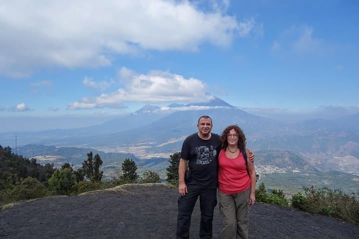
Pacaya sits at about 2,438 meters (8,000 ft) and is one of Guatemala’s most active volcanoes. Its frequent eruptions reshaped the local landscape over decades, creating blackened flows that reflect the region’s turbulent geology. From Antigua — a colonial city founded in the 16th century and scarred by seismic history — guides point out neighbors: Agua’s broad summit, Acatenango’s jagged flank, and Fuego’s regular plumes.
Culturally, the ridgelines around Pacaya are woven into local life: farmers graze near the lower slopes and vendors often sell roasted corn beside trailheads. The hike to the viewing plateau is roughly a 2–2.5 hour ascent over uneven, rocky terrain with an elevation gain that tests breathing at higher altitudes.
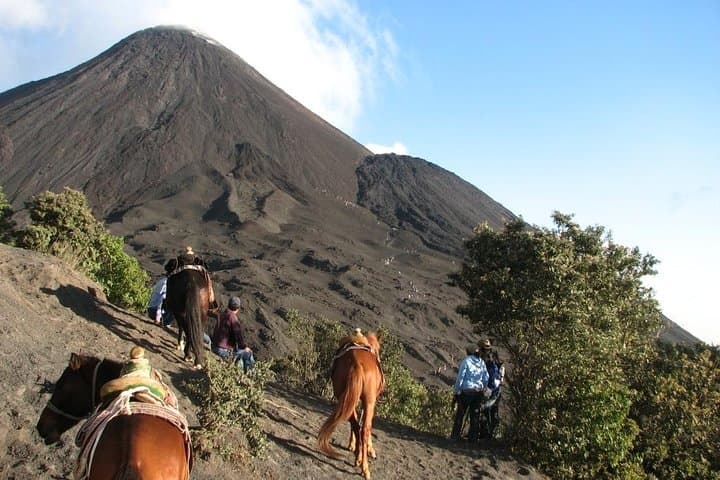
Practically, expect a full five-hour excursion including transfers from Antigua. Trails alternate loose volcanic scree, compacted ash, and hardened lava rock; sturdy footwear and layered clothing are essential. Hydrate early, use sun protection, and follow your guide — crater access is restricted for safety, but red-hot flows and steam-cleared baths make for dramatic, safe viewing. Timing your visit for morning departures reduces afternoon winds and gives clearer visibility of the surrounding cones.
moderate.
5 hours.
Good steady cardio and leg strength recommended; able to hike 2–3 hours uphill at altitude.
The guided hike is about 2–2.5 hours uphill to the plateau from the trailhead, followed by a return descent; total tour time including transfers is roughly five hours.
For safety you won’t be allowed into the main crater, but guides take you to safe vantage points where red-hot flows and steam vents are visible.
Not recommended for infants, people with serious heart or spinal conditions, or those unable to manage sustained uphill hiking at altitude.
Carry water, sturdy shoes, layered clothing, sunscreen, and any personal meds; guides typically provide bottled water and cover pickup from Antigua hotels.
Pacaya’s frequent eruptions have periodically reshaped the Antigua region; nearby colonial-era settlements rebuilt after seismic and volcanic events, which influenced local architecture and land use.
The area is sensitive to erosion and litter; stay on established trails, pack out waste, and support guides who follow local conservation practices.
Guatemalan Adventure operates guided outdoor trips and adventures with an emphasis on safety, stewardship, and memorable experiences.
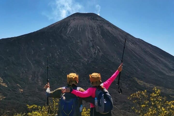
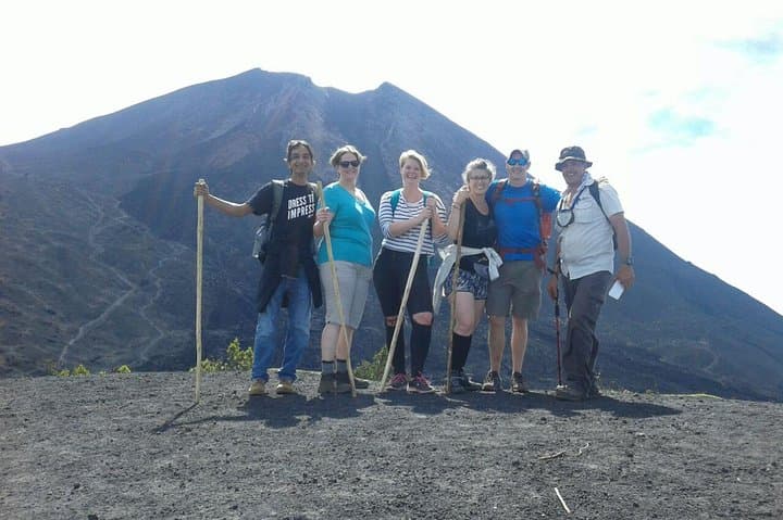
You step off the minivan as the highland air tightens around you and the cone of Pacaya fills the skyline like a living machine. The trail climbs through scrub and recent lava fields; the land itself seems to be rearranging underfoot, hot breath hinted by steam vents and sulfur-swept slopes.
You step off the minivan as the highland air tightens around you and the cone of Pacaya fills the skyline like a living machine. The trail climbs through scrub and recent lava fields; the land itself seems to be rearranging underfoot, hot breath hinted by steam vents and sulfur-swept slopes.
Pacaya sits at about 2,438 meters (8,000 ft) and is one of Guatemala’s most active volcanoes. Its frequent eruptions reshaped the local landscape over decades, creating blackened flows that reflect the region’s turbulent geology. From Antigua — a colonial city founded in the 16th century and scarred by seismic history — guides point out neighbors: Agua’s broad summit, Acatenango’s jagged flank, and Fuego’s regular plumes.
Culturally, the ridgelines around Pacaya are woven into local life: farmers graze near the lower slopes and vendors often sell roasted corn beside trailheads. The hike to the viewing plateau is roughly a 2–2.5 hour ascent over uneven, rocky terrain with an elevation gain that tests breathing at higher altitudes.
Practically, expect a full five-hour excursion including transfers from Antigua. Trails alternate loose volcanic scree, compacted ash, and hardened lava rock; sturdy footwear and layered clothing are essential. Hydrate early, use sun protection, and follow your guide — crater access is restricted for safety, but red-hot flows and steam-cleared baths make for dramatic, safe viewing. Timing your visit for morning departures reduces afternoon winds and gives clearer visibility of the surrounding cones.