THE ADVENTURE COLLECTIVE® · Independent discovery and booking for outdoor travel

A six-hour route from San Pedro de Atacama that visits Licancabur viewpoints, the red-stone Piedras Rojas salt plain, Quisquiro and the towering Monjes de la Pacana. High-altitude scenery, easy walks and dramatic geology make this a compact introduction to the Altiplano.
A six-hour route from San Pedro de Atacama that visits Licancabur viewpoints, the red-stone Piedras Rojas salt plain, Quisquiro and the towering Monjes de la Pacana. High-altitude scenery, easy walks and dramatic geology make this a compact introduction to the Altiplano.
You start before dawn on a gravel road that leans into the high Andean cold; Licancabur’s cone cuts the horizon and the air is thin enough to make each breath deliberate. The vehicle climbs out of the Atacama basin and the landscape strips down to salt, volcanic rock and wind-sculpted pillars. By the time you reach the first lookout, the light explains why people have always read stories into these slopes.
Verified experiences and guided adventures in the surrounding area.
Operated by Ruta Chile · San Pedro de Atacama, Antofagasta
You start before dawn on a gravel road that leans into the high Andean cold; Licancabur’s cone cuts the horizon and the air is thin enough to make each breath deliberate. The vehicle climbs out of the Atacama basin and the landscape strips down to salt, volcanic rock and wind-sculpted pillars. By the time you reach the first lookout, the light explains why people have always read stories into these slopes.
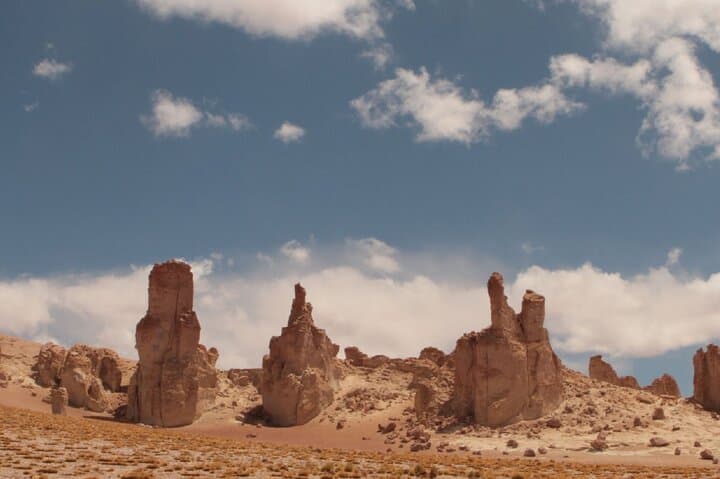
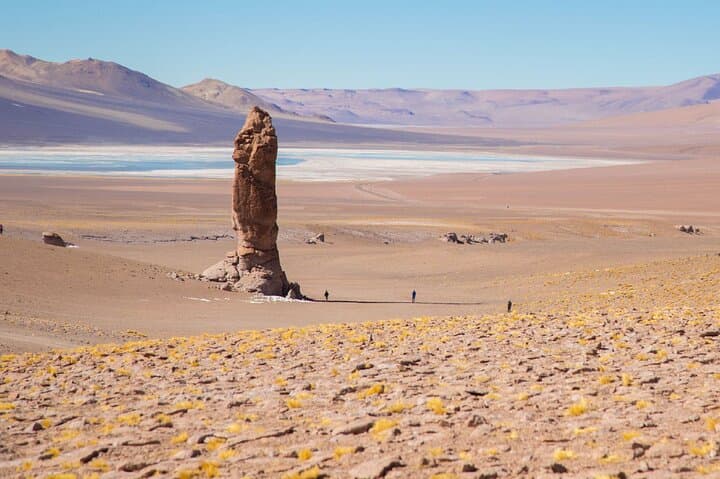
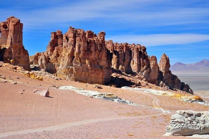
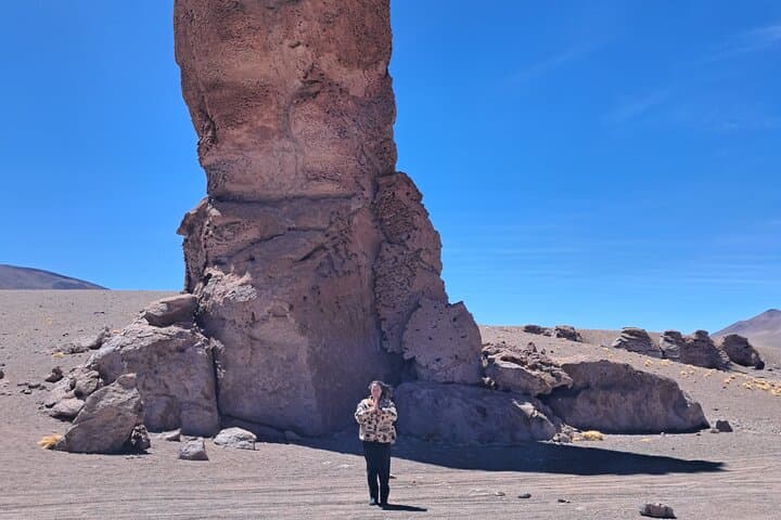
Geology here is recent and violent: towering lava flows, ignimbrite sheets and saline basins sculpted by uplift and evaporation after the Andes rose. The Pacana Monks — vertical columns of compacted volcanic tuff and ash — stand like isolated ruins, eroded by frost and wind. Nearby salares, including Aguas Calientes Sur (Piedras Rojas) and Quisquiro, collect minerals and seasonal wetlands that support Andean fauna. The route threads indigenous history and modern salt-extraction practices; local altiplano communities have long used these high plains for grazing and trade.
Practical guide: this half-day loop lasts about six hours and reaches elevations above 4,000 m, so acclimatize in San Pedro de Atacama the day before. Expect bumpy roads and short walks on compacted salt, gravel and sand. Bring sun protection, warm layers for wind and sudden cold, and at least 2 liters of water. Photography is best in morning or late afternoon; mid-day light flattens color. Respect fragile lichen and wetland edges where flamingos and other birds feed. The pace is relaxed but the altitude is the real challenge — move deliberately, hydrate, and ask your guide about local customs and conservation practices as you go.
moderate.
5–6 hours.
Suitable for travelers in reasonable health who can handle short, easy walks at high altitude; not strenuous but expect low-oxygen conditions.
The itinerary is about six hours total, including transport and short stops at multiple viewpoints.
The route involves minimal walking but reaches high altitude; children over 10 and travelers without cardiovascular issues generally do fine, but consult a physician if unsure.
Yes — look for high-Andean species such as flamingos in shallow saline lagoons and grazing camelids like vicuña in puna grasslands.
Most viewpoints are accessible as part of organized tours; some protected wetlands may have restricted access, but the tour includes any necessary permissions.
The high plateau has been traversed by indigenous altiplano communities for millennia; salt and mineral extraction and llama caravans shaped local trade routes.
Salar crusts and wetland pockets are ecologically sensitive; stay on trails, avoid disturbing bird feeding areas and follow guide instructions to limit erosion and pollution.
Ruta Chile operates guided outdoor trips and adventures with an emphasis on safety, stewardship, and memorable experiences.
You start before dawn on a gravel road that leans into the high Andean cold; Licancabur’s cone cuts the horizon and the air is thin enough to make each breath deliberate. The vehicle climbs out of the Atacama basin and the landscape strips down to salt, volcanic rock and wind-sculpted pillars. By the time you reach the first lookout, the light explains why people have always read stories into these slopes.
You start before dawn on a gravel road that leans into the high Andean cold; Licancabur’s cone cuts the horizon and the air is thin enough to make each breath deliberate. The vehicle climbs out of the Atacama basin and the landscape strips down to salt, volcanic rock and wind-sculpted pillars. By the time you reach the first lookout, the light explains why people have always read stories into these slopes.
Geology here is recent and violent: towering lava flows, ignimbrite sheets and saline basins sculpted by uplift and evaporation after the Andes rose. The Pacana Monks — vertical columns of compacted volcanic tuff and ash — stand like isolated ruins, eroded by frost and wind. Nearby salares, including Aguas Calientes Sur (Piedras Rojas) and Quisquiro, collect minerals and seasonal wetlands that support Andean fauna. The route threads indigenous history and modern salt-extraction practices; local altiplano communities have long used these high plains for grazing and trade.
Practical guide: this half-day loop lasts about six hours and reaches elevations above 4,000 m, so acclimatize in San Pedro de Atacama the day before. Expect bumpy roads and short walks on compacted salt, gravel and sand. Bring sun protection, warm layers for wind and sudden cold, and at least 2 liters of water. Photography is best in morning or late afternoon; mid-day light flattens color. Respect fragile lichen and wetland edges where flamingos and other birds feed. The pace is relaxed but the altitude is the real challenge — move deliberately, hydrate, and ask your guide about local customs and conservation practices as you go.