THE ADVENTURE COLLECTIVE® · Independent discovery and booking for outdoor travel

Pilot a remote DJI drone over northern Botswana’s floodplains from anywhere in the world. A local co‑pilot guides the flight, helps avoid wildlife disturbance and lets you capture high‑resolution photos for download.
Pilot a remote DJI drone over northern Botswana’s floodplains from anywhere in the world. A local co‑pilot guides the flight, helps avoid wildlife disturbance and lets you capture high‑resolution photos for download.
You log in from your kitchen or a café and the screen opens onto a flattened horizon of grass and water. A co‑pilot in northern Botswana talks you through wind and light, then presses the takeoff button; the drone rises and the landscape unfurls—channels gleam, a line of elephants moves like punctuation across a floodplain, and a hippo’s back slices the water. The experience asks nothing of your knees but requires attention: reading the sky through a camera feed and sensing the moment.
Verified experiences and guided adventures in the surrounding area.
Operated by NatureEye · Maun, North-West District
You log in from your kitchen or a café and the screen opens onto a flattened horizon of grass and water. A co‑pilot in northern Botswana talks you through wind and light, then presses the takeoff button; the drone rises and the landscape unfurls—channels gleam, a line of elephants moves like punctuation across a floodplain, and a hippo’s back slices the water. The experience asks nothing of your knees but requires attention: reading the sky through a camera feed and sensing the moment.
Northern Botswana is dominated by the Okavango Delta’s seasonal flood pulse, a shallow inland delta that swells each year and creates mosaic wetlands, islands and river channels that shape wildlife movement. The area has long been home to Tswana-speaking peoples and San communities; it’s also central to Botswana’s conservation story, where managed tourism supports large elephant populations.
This online flight pairs a DJI Mavic 3 Enterprise with geofencing, AI obstacle avoidance and a local co‑pilot who manages animal welfare and airspace rules. You’ll complete a short tutorial, then pilot remotely for about 30 minutes with the option to invite a guest and hand off controls. Expect wide-angle vistas, close-up zooms of herds and the practical limits of remote viewing—latency, weather cancellations, and regulated flight corridors.
Practical guidance: use a wired internet connection if possible, a laptop or tablet with headphones, and schedule during Botswana daylight (SAST/GMT+2) for the best light. Respect the guide’s instructions to avoid stressing animals; the co‑pilot can assume control at any time for safety. This is wildlife viewing reworked for connectivity—low impact on the ground, high on perspective.
easy.
30 minutes.
No special fitness required; suitable for participants of all physical abilities.
No — the local operator provides the drone and licensed co‑pilot; participants only need a device and internet access.
Yes — the booking includes an option to invite a guest who can log in, speak during the flight and share control.
Flights are canceled for unsafe conditions; the operator’s policy allows cancellations for weather with full refunds if made per their terms.
High‑resolution images captured during the flight are uploaded to your account on NatureEye.com and available for download after the session.
The Okavango area has long been inhabited by Tswana and San communities and is central to Botswana’s conservation-led tourism model.
Operators follow strict protocols to avoid disturbing wildlife; remote piloting further reduces on‑ground impact but follows airspace and animal welfare rules.
NatureEye operates guided outdoor trips and adventures with an emphasis on safety, stewardship, and memorable experiences.
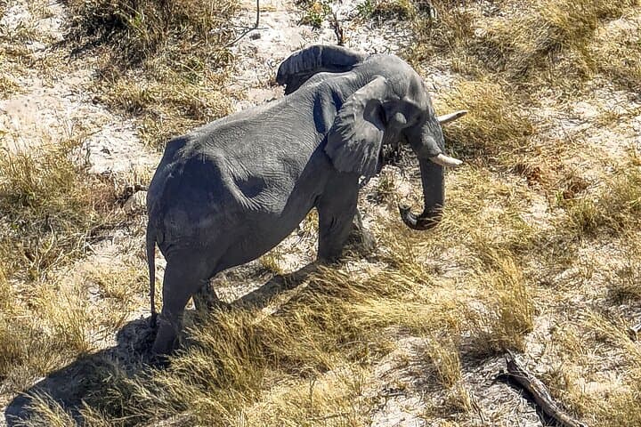
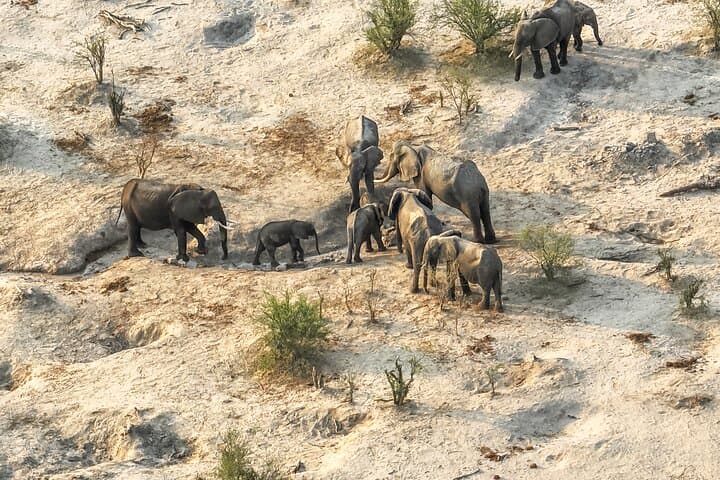
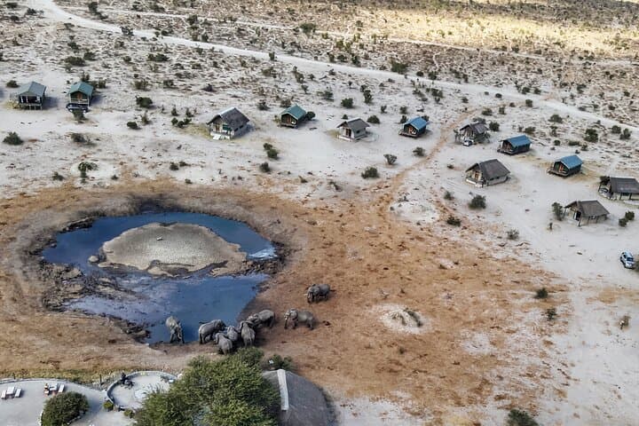
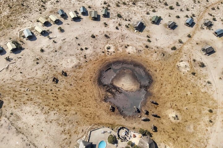
You log in from your kitchen or a café and the screen opens onto a flattened horizon of grass and water. A co‑pilot in northern Botswana talks you through wind and light, then presses the takeoff button; the drone rises and the landscape unfurls—channels gleam, a line of elephants moves like punctuation across a floodplain, and a hippo’s back slices the water. The experience asks nothing of your knees but requires attention: reading the sky through a camera feed and sensing the moment.
You log in from your kitchen or a café and the screen opens onto a flattened horizon of grass and water. A co‑pilot in northern Botswana talks you through wind and light, then presses the takeoff button; the drone rises and the landscape unfurls—channels gleam, a line of elephants moves like punctuation across a floodplain, and a hippo’s back slices the water. The experience asks nothing of your knees but requires attention: reading the sky through a camera feed and sensing the moment.
Northern Botswana is dominated by the Okavango Delta’s seasonal flood pulse, a shallow inland delta that swells each year and creates mosaic wetlands, islands and river channels that shape wildlife movement. The area has long been home to Tswana-speaking peoples and San communities; it’s also central to Botswana’s conservation story, where managed tourism supports large elephant populations.
This online flight pairs a DJI Mavic 3 Enterprise with geofencing, AI obstacle avoidance and a local co‑pilot who manages animal welfare and airspace rules. You’ll complete a short tutorial, then pilot remotely for about 30 minutes with the option to invite a guest and hand off controls. Expect wide-angle vistas, close-up zooms of herds and the practical limits of remote viewing—latency, weather cancellations, and regulated flight corridors.
Practical guidance: use a wired internet connection if possible, a laptop or tablet with headphones, and schedule during Botswana daylight (SAST/GMT+2) for the best light. Respect the guide’s instructions to avoid stressing animals; the co‑pilot can assume control at any time for safety. This is wildlife viewing reworked for connectivity—low impact on the ground, high on perspective.