THE ADVENTURE COLLECTIVE® · Independent discovery and booking for outdoor travel

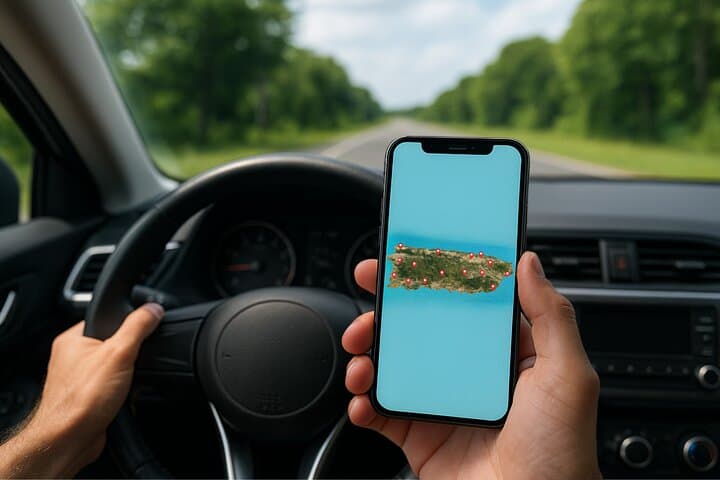
A downloadable map that points you to beaches, river canyons, caves and hidden coves on Puerto Rico’s north coast—places locals favor and tourists often miss. Ideal for a three-day self-driven loop with clickable Google Maps directions.
A downloadable map that points you to beaches, river canyons, caves and hidden coves on Puerto Rico’s north coast—places locals favor and tourists often miss. Ideal for a three-day self-driven loop with clickable Google Maps directions.
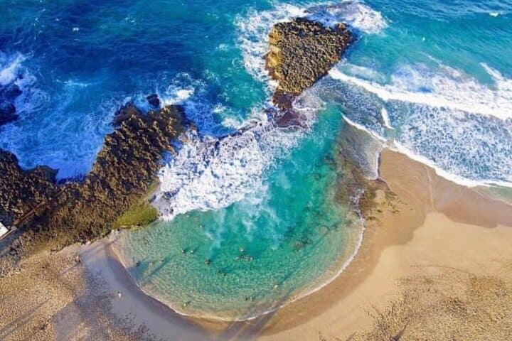
You arrive on a narrow coastal road with the ocean on one side and limestone cliffs on the other; gulls wheel and a river in the distance seems to be calling you inland. This self-guided map guides you to places locals keep close—rocky ocean caves where swallows dive, calm natural pools shielded by jagged reefs, and river canyons that move with sudden force after a storm.
Verified experiences and guided adventures in the surrounding area.
Operated by El Yunque Tours - The most AMAZING adventure in Puerto Rico (Private tour / transportation included) · San Juan, Puerto Rico
You arrive on a narrow coastal road with the ocean on one side and limestone cliffs on the other; gulls wheel and a river in the distance seems to be calling you inland. This self-guided map guides you to places locals keep close—rocky ocean caves where swallows dive, calm natural pools shielded by jagged reefs, and river canyons that move with sudden force after a storm.
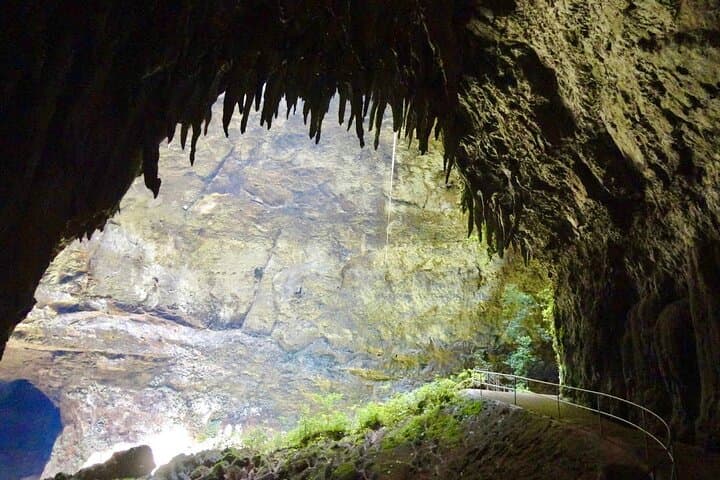
The guide stitches together geology and history: karst limestone shaped by millennia of rain and surf carved caverns like the Río Camuy system, while coastal headlands preserve petroglyph sites left by Taíno communities. Sugar‑era plantations and rum houses remind you of colonial trade routes that once defined the island’s economy and culture.
Expect varied terrain: short paved drives, gravel pullouts, sandy coves and easy cave walks. Rivers dare you to read the weather first—flash rises are real here—so timing matters. The map’s photo thumbnails and click-to-navigate Google links make logistics simple; you still need a rental car and basic route sense to stitch days together.
Practical edge: plan three days to sample inland caves, western beaches and a shoreline with natural pools. Bring reef‑safe sunscreen, quick‑dry layers, sturdy shoes for wet rock, and a waterproof phone case for navigation and tide photos. Respect private property and fragile coastal vegetation; leave no trace in the small coves that make this stretch feel secret. Follow local advice on river safety and savor the moments when the island’s raw edges meet calm blue water.
moderate.
3 days (approx.).
Moderate endurance for short hikes, uneven rock scrambling, and beach walks; comfortable for most active travelers.
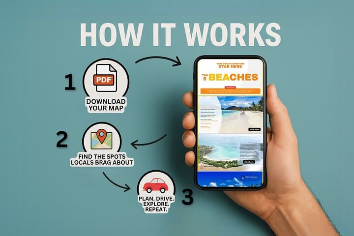
No — the product is a downloadable self-guided PDF with direct Google Maps links; you will need your own transport and basic navigation skills.
No — avoid rivers and low-lying cave entrances after rain due to rapid water level rises and strong currents.
Most public coastal sites are accessible, but always respect posted signs and private property; some protected areas may have restricted access or entrance fees.
A moderate level is recommended: mostly short walks, some scrambling over wet rock, and the ability to climb short uneven trails.
Karst limestone of the north coast preserves Taíno petroglyphs and colonial plantation sites; the rum industry shaped much local trade and landscape in the 19th century.
Coastal habitats are sensitive—use reef‑safe sunscreen, pack out trash, and avoid trampling dune vegetation; check local advisories for protected reserves.
El Yunque Tours - The most AMAZING adventure in Puerto Rico (Private tour / transportation included) operates guided outdoor trips and adventures with an emphasis on safety, stewardship, and memorable experiences.
You arrive on a narrow coastal road with the ocean on one side and limestone cliffs on the other; gulls wheel and a river in the distance seems to be calling you inland. This self-guided map guides you to places locals keep close—rocky ocean caves where swallows dive, calm natural pools shielded by jagged reefs, and river canyons that move with sudden force after a storm.
You arrive on a narrow coastal road with the ocean on one side and limestone cliffs on the other; gulls wheel and a river in the distance seems to be calling you inland. This self-guided map guides you to places locals keep close—rocky ocean caves where swallows dive, calm natural pools shielded by jagged reefs, and river canyons that move with sudden force after a storm.
The guide stitches together geology and history: karst limestone shaped by millennia of rain and surf carved caverns like the Río Camuy system, while coastal headlands preserve petroglyph sites left by Taíno communities. Sugar‑era plantations and rum houses remind you of colonial trade routes that once defined the island’s economy and culture.
Expect varied terrain: short paved drives, gravel pullouts, sandy coves and easy cave walks. Rivers dare you to read the weather first—flash rises are real here—so timing matters. The map’s photo thumbnails and click-to-navigate Google links make logistics simple; you still need a rental car and basic route sense to stitch days together.
Practical edge: plan three days to sample inland caves, western beaches and a shoreline with natural pools. Bring reef‑safe sunscreen, quick‑dry layers, sturdy shoes for wet rock, and a waterproof phone case for navigation and tide photos. Respect private property and fragile coastal vegetation; leave no trace in the small coves that make this stretch feel secret. Follow local advice on river safety and savor the moments when the island’s raw edges meet calm blue water.