THE ADVENTURE COLLECTIVE® · Independent discovery and booking for outdoor travel

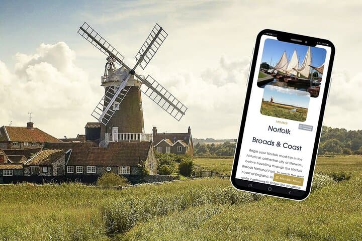
A flexible 113-mile self-guided road trip that links the Norfolk Broads, the Norfolk Coast AONB and historic King’s Lynn. Use this 12-month online plan to build 3–14 day itineraries with mapped stops, parking notes, and local highlights.
A flexible 113-mile self-guided road trip that links the Norfolk Broads, the Norfolk Coast AONB and historic King’s Lynn. Use this 12-month online plan to build 3–14 day itineraries with mapped stops, parking notes, and local highlights.
Dawn lifts off the Broads and a silver road of reed-lined water threads between villages; inland, Norwich’s cathedral spire watches the traffic of a 113-mile route that stitches rivers, salt marsh and seaside piers into one flexible adventure.
Verified experiences and guided adventures in the surrounding area.
Operated by Uncover Britain Road Trips · Norwich, Norfolk
Dawn lifts off the Broads and a silver road of reed-lined water threads between villages; inland, Norwich’s cathedral spire watches the traffic of a 113-mile route that stitches rivers, salt marsh and seaside piers into one flexible adventure.
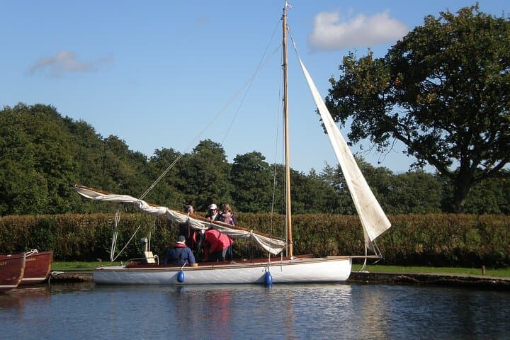
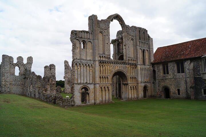
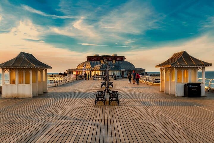
This online self-guide breaks the loop into three manageable sectors—Norwich & the Broads, the Norfolk Coast, and North Norfolk with King’s Lynn—so you can tailor a 3–14 day road trip. The Broads themselves are not natural lakes but flooded medieval peat workings that now support willow-fringed rivers, boat hire, and a mosaic of wetland habitats. Along the coast you’ll find Victorian piers at Great Yarmouth, pastel beach huts at Cromer and Wells-next-the-Sea, and the arable plains that lead to Sandringham’s cultivated gardens.
Culturally the route alternates quiet waterside villages—Horning, Potter Heigham—and larger market towns where maritime trade shaped brick-built quays. Geologically the coastline ranges from reclaimed salt marsh to shingle ridges that shift with tides; expect flat driving and mostly easy walking on trails and promenades.
Practical guidance: the plan supplies point-to-point directions, parking notes, and Google Map pins for each section. Allow time for boat hires, tide windows on beaches, and mid-day wildlife viewing when marsh birds and seals are most active. Bring waterproof layers, a phone with offline maps, and allow extra time for narrow country lanes. The guide is web-based with 12 months access—ideal for independent travelers who want structure without a rigid schedule.
easy.
3–14 days.
Suitable for most fitness levels; walking sections are generally short and flat but expect multiple short walks and some stairs in historic towns.
The guide outlines a 113-mile route with sample itineraries ranging from 3 to 14 days so you can choose pacing that suits you.
No—boat hire is optional. The guide lists where to hire boats and suggests timings for day hires on the Broads.
The plan is web-based; download or screenshot directions and map areas for offline use, and carry a backup power bank.
Yes—the itinerary highlights family-friendly beaches, heritage railways and short walks; pick shorter daily distances and pre-book attractions in summer.
The Broads originated from medieval peat digging that flooded during storm events and later became a unique wetland landscape; King’s Lynn grew as a medieval port tied to North Sea trade.
Much of the route lies in protected areas (Broads National Park, Norfolk Coast AONB); follow local signage, stick to paths and take all litter home to protect nesting birds and habitats.
Uncover Britain Road Trips operates guided outdoor trips and adventures with an emphasis on safety, stewardship, and memorable experiences.
Dawn lifts off the Broads and a silver road of reed-lined water threads between villages; inland, Norwich’s cathedral spire watches the traffic of a 113-mile route that stitches rivers, salt marsh and seaside piers into one flexible adventure.
Dawn lifts off the Broads and a silver road of reed-lined water threads between villages; inland, Norwich’s cathedral spire watches the traffic of a 113-mile route that stitches rivers, salt marsh and seaside piers into one flexible adventure.
This online self-guide breaks the loop into three manageable sectors—Norwich & the Broads, the Norfolk Coast, and North Norfolk with King’s Lynn—so you can tailor a 3–14 day road trip. The Broads themselves are not natural lakes but flooded medieval peat workings that now support willow-fringed rivers, boat hire, and a mosaic of wetland habitats. Along the coast you’ll find Victorian piers at Great Yarmouth, pastel beach huts at Cromer and Wells-next-the-Sea, and the arable plains that lead to Sandringham’s cultivated gardens.
Culturally the route alternates quiet waterside villages—Horning, Potter Heigham—and larger market towns where maritime trade shaped brick-built quays. Geologically the coastline ranges from reclaimed salt marsh to shingle ridges that shift with tides; expect flat driving and mostly easy walking on trails and promenades.
Practical guidance: the plan supplies point-to-point directions, parking notes, and Google Map pins for each section. Allow time for boat hires, tide windows on beaches, and mid-day wildlife viewing when marsh birds and seals are most active. Bring waterproof layers, a phone with offline maps, and allow extra time for narrow country lanes. The guide is web-based with 12 months access—ideal for independent travelers who want structure without a rigid schedule.