THE ADVENTURE COLLECTIVE® · Independent discovery and booking for outdoor travel

Take to the skies above Peru’s Nazca desert for a 30-minute flightseeing tour that reveals monumental geoglyphs only visible from the air. This concise guide covers what you’ll see, why the figures survive, and the practical tips to make the most of your aerial visit.
Take to the skies above Peru’s Nazca desert for a 30-minute flightseeing tour that reveals monumental geoglyphs only visible from the air. This concise guide covers what you’ll see, why the figures survive, and the practical tips to make the most of your aerial visit.
The plane lifts off from a small desert airstrip and the desert below opens like a page of forgotten maps. Sand and stone flatten into long, deliberate lines; a hummingbird, a spider and sprawling trapezoids appear at scale, their edges sharpened by dry wind. From the cabin, the desert seems to hold its breath as the pilot banks gently to show each figure.
Verified experiences and guided adventures in the surrounding area.
Operated by Aventuras al Sur Tour Operador · Nazca, Ica
The plane lifts off from a small desert airstrip and the desert below opens like a page of forgotten maps. Sand and stone flatten into long, deliberate lines; a hummingbird, a spider and sprawling trapezoids appear at scale, their edges sharpened by dry wind. From the cabin, the desert seems to hold its breath as the pilot banks gently to show each figure.
The Nazca Lines were drawn by the pre-Columbian Nazca culture between roughly 200 BCE and 600 CE, carved by removing dark surface stones to reveal lighter soil beneath. The arid climate and stable soils preserved these massive geoglyphs, while modern researchers continue to debate their ritual, astronomical, and water-related purposes.
Geologically the basin is simple—hard-pan plains cut by seasonal washes—so contrast is everything: light crust against darker gravel makes the lines visible from the air. Culturally, Nazca sits on a coastal corridor of ancient irrigation and trade; nearby cemeteries and aqueducts add context to the flights.
Practical guidance: the flight itself is about 30 minutes, but allow 2–3 hours for transfers, briefing and check-in. Window seats matter—book early and request one; bring a fast lens and steadying strap for photos. Flights can be bumpy; if you’re prone to motion sickness, take preventative medication. Respect restricted ground zones: the geoglyphs are protected and off-limits to walk-up visits.
Timing your afternoon flight can reduce glare; mornings are cooler. Whether you go for the scale or the unanswered questions, the aerial view is the only way to truly read these desert sentences.
easy.
2–3 hours.
Minimal fitness required; ability to board small aircraft and sit for the duration.
The aerial leg is approximately 30 minutes; expect a total tour time (transfers, briefing, boarding) of about 2–3 hours.
Flights are generally safe but not recommended for travelers with serious cardiovascular conditions; consult your doctor before booking.
No—ground access to the geoglyphs is restricted to protect them; viewing is primarily by air or from designated observation towers.
Most travelers take a 6–7 hour bus or a short domestic flight to Nazca, then local transfer to the airstrip; many tours include hotel pickup and transport.
The geoglyphs were created by the Nazca culture between roughly 200 BCE and 600 CE; their scale and preservation are due to deliberate ground-cleaning and an exceptionally dry climate.
The site is a UNESCO World Heritage area with restricted ground access and regulated flights—minimizing low-flying aircraft and on-ground disturbance helps preserve the lines.
Aventuras al Sur Tour Operador operates guided outdoor trips and adventures with an emphasis on safety, stewardship, and memorable experiences.
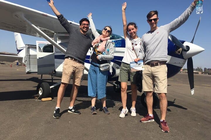
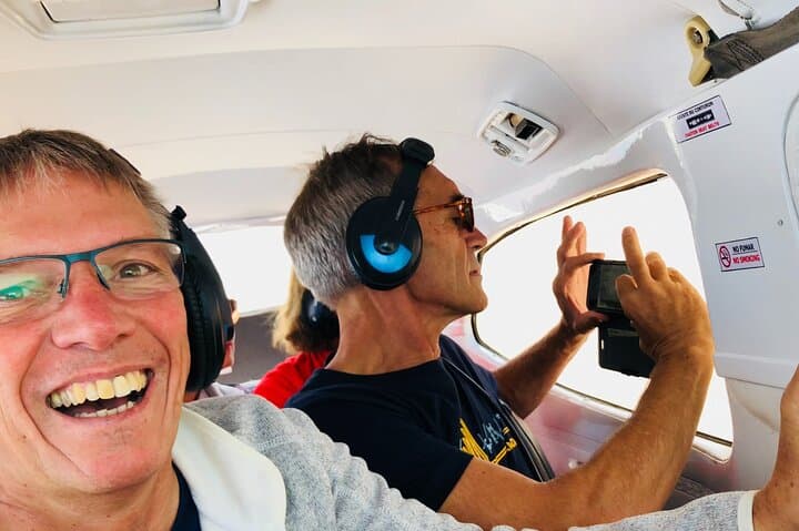
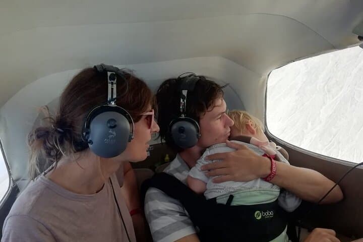
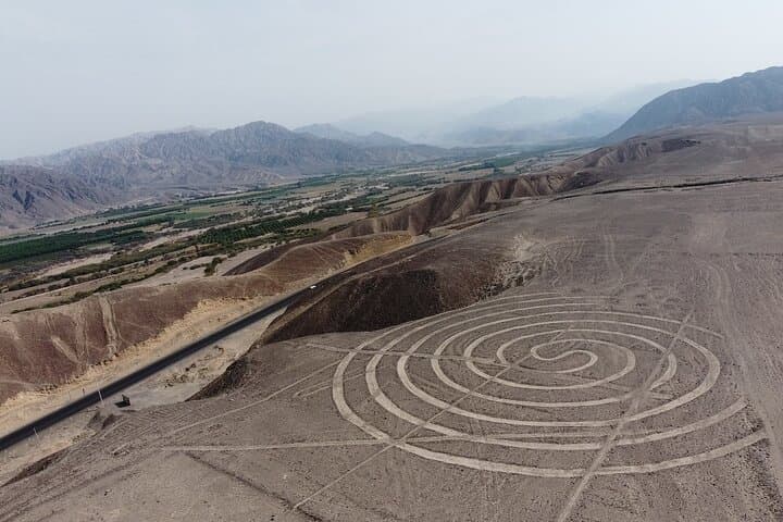
The plane lifts off from a small desert airstrip and the desert below opens like a page of forgotten maps. Sand and stone flatten into long, deliberate lines; a hummingbird, a spider and sprawling trapezoids appear at scale, their edges sharpened by dry wind. From the cabin, the desert seems to hold its breath as the pilot banks gently to show each figure.
The plane lifts off from a small desert airstrip and the desert below opens like a page of forgotten maps. Sand and stone flatten into long, deliberate lines; a hummingbird, a spider and sprawling trapezoids appear at scale, their edges sharpened by dry wind. From the cabin, the desert seems to hold its breath as the pilot banks gently to show each figure.
The Nazca Lines were drawn by the pre-Columbian Nazca culture between roughly 200 BCE and 600 CE, carved by removing dark surface stones to reveal lighter soil beneath. The arid climate and stable soils preserved these massive geoglyphs, while modern researchers continue to debate their ritual, astronomical, and water-related purposes.
Geologically the basin is simple—hard-pan plains cut by seasonal washes—so contrast is everything: light crust against darker gravel makes the lines visible from the air. Culturally, Nazca sits on a coastal corridor of ancient irrigation and trade; nearby cemeteries and aqueducts add context to the flights.
Practical guidance: the flight itself is about 30 minutes, but allow 2–3 hours for transfers, briefing and check-in. Window seats matter—book early and request one; bring a fast lens and steadying strap for photos. Flights can be bumpy; if you’re prone to motion sickness, take preventative medication. Respect restricted ground zones: the geoglyphs are protected and off-limits to walk-up visits.
Timing your afternoon flight can reduce glare; mornings are cooler. Whether you go for the scale or the unanswered questions, the aerial view is the only way to truly read these desert sentences.